Near Blairsville in Union County, Georgia — The American South (South Atlantic)
The Appalachian Trail in North Georgia
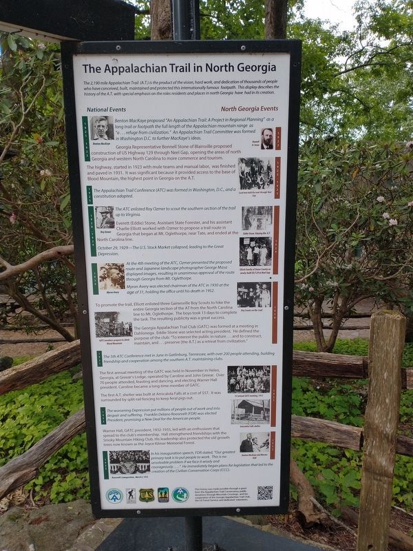
The 2,190 mile Appalachian Trail (A.T.) is the product of the vision, hard work, and dedication of thousands of people who have conceived, built, maintained and protected this internationally famous footpath. This display describes the history of the A.T. with special emphasis on the roles residents and places in north Georgia have had in its creation.
1921-1923
Benton MacKaye proposed “An Appalachian Trail: A Project in Regional Planning” as a long trail or footpath the full length of the Appalachian mountain range as “a…refuge from civilization.” An Appalachian Trail Committee was formed in Washington D.C. to further MacKaye’s ideas. (caption) Benton MacKaye
1922
Georgia Representative Bonnell Stone of Blairsville proposed construction of US Highway 129 through Neel Gap, opening the areas of north Georgia and western North Carolina to more commerce and tourism. (caption) Bonnell H. Stone
1923-1925
The highway, started in 1923 with mule teams and manual labor, was finished and paved in 1931. It was significant because it provided access to the base of Blood Mountain, the highest point in Georgia on the A.T. (caption) Local men build the road through Neel Gap
1925
The Appalachian Trail Conference (ATC) was formed in Washington, D.C., and a constitution adopted.
1928-1929
The ATC enlisted Roy Ozmer to scout the southern section of the trail up to Virginia. (caption) Roy Ozmer
1929
Everett (Eddie) Stone, Assistant State Forester, and his assistant Charlie Elliott worked with Ozmer to propose a trail route in Georgia that began at Mt. Oglethorpe, near Tate, and ended at the North Carolina line. (captions) Eddie Stone blazing the A.T. • Elliott family of Union County on newly-built US/129 at Neel Gap
October 29, 1929—The U.S. Stock Market collapsed, leading the the Great Depression.
1930
At the 4th meeting of the ATC, Ozmer presented the proposed route and Japanese landscape photographer George Masa displayed images, resulting in unanimous approval of the route through Georgia from Mt. Oglehorpe.
Myron Avery was elected chairman of the ATC in 1930 at the age of 31, holding the office until his death in 1952. (caption) Myron Avery
1930
To promote the trail, Elliott enlisted three Gainesville Boy Scouts to hike the entire Georgia section of the AT from the North Carolina line to Mt. Oglethorpe. The boys took 13 days to complete the task. The resulting publicity was a great success.
The Georgia Appalachian Trail Club (GATC) was formed at a meeting in Dahlonega. Eddie Stone was selected acting president. He defined the purpose of the club: “To interest the public in nature…and to construct, maintain, and …preserve [the A.T.] as a retreat from civilization.” (captions) Boy Scouts on the trail • GATC members prepare to climb Blood Mountain
1931
The 5th ATC Conference met in June in Gatlinburg, Tennessee, with over 200 people attending, building friendship and cooperation among the southern A.T. maintaining clubs.
1931
The first annual meeting of the GATC was held in November in Helen, Georgia, at Greear’s Lodge, operated by Caroline and John Greear. Over 70 people attended, feasting and dancing, and electing Warner Hall president. Caroline became a long-time member of GATC.
The first A.T. shelter was built at Amicalola Falls at a cost of $57. It was surrounded by split-rail fencing to keep feral pigs out. (captions) 1st annual GATC meeting, 1931 • Amicalola Falls shelter
1932
The worsening Depression put millions of people out of work and into despair and suffering. Franklin Delano Roosevelt (FDR) was elected President, promising a New Deal for the American people.
1932
Warner Hall, GATC president, 1932-1935, led with an enthusiasm that spread to the club’s membership. Hall strengthened friendships with the Smoky Mountain Hiking Club. His leadership also protected the old growth trees now know as the Joyce Kilmer Memorial Forest. (caption) Benton MacKaye and Warner Hall
1933
In his inauguration speech, FDR stated, “Our greatest primary task is to put people to work. This is no unsolvable problem if we face it wisely and courageously….” He immediately began plans for legislation that led to the creation of the Civilian Conservation Corp. (CCC).(caption) Roosevelt’s inauguration, March 4, 1933
(panel 2) The Appalachian Trail in North Georgia
“Ours is a friendship of the trails that lead to faraway places”
1933
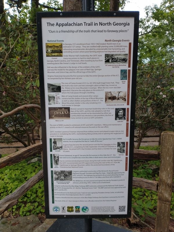
In Georgia, CCC enrollment from 1933-11942 totaled 78,630 men in an estimated 127 camps. They are credited with planting some 25,000,000 trees reforesting mountainsides denuded by unsustainable tree harvesting, and controlling erosion where poor farming practices had degraded soil quality. (caption) CCC postcard
Under Warren Hall’s leadership, the GATC took many excursions to hard-to-reach places in Georgia, North Carolina, and Tennessee, often traveling by bus from meeting places like Greear’s Lodge to trail heads.(caption) GATC members hire a bus for a hike from Woody Gap to Neel Gap
Hall was also influential in the design of the emblem of the GATC, and was the model for the plaques now seen at Neel Gap, Spring Mountain, and Unicoi Gap, and the official logo of the GATC.
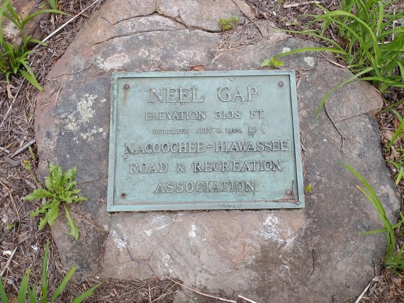
Virginian Stutesman became the first woman to hike the entire Georgia section of the A.T., accompanied by her thirteen-year-old son. (caption) Neel Gap Plaque
1934-1935
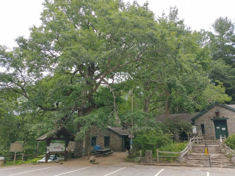
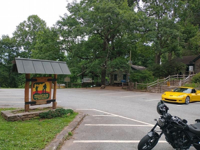
The men of Camp Enotah (CCC Co. 431 SP2) built Vogel State Park. They also built a tea room and two overnight cabins at Neel Gap, known as the Walasi-yi Inn (now Mountain Crossings). When the tea room was later expanded, it became the only place on the entire A.T. where the trail passes through a building.(caption) Tea room and overnight cabin, from a CCC report March ‘36
Men of Camp Enotah and several other camps constructed the shelter at the top of Blood Mountain as well as other shelters and portions of the A.T. The Blood Mountain shelter is the only remaining CCC-built shelter in Georgia. (caption) Blood Mountain shelter, 2010, by Van Hill
1938
Woman served in important leadership roles in the early days of the GATC, and the club adopted a rule that membership should not be dominated by either sex. Cynthia Ward was elected as club president, the first of many women to serve as GATC president. (captions) Walasi-yi, ca. 1939 • Cynthia Ward
1941–1946
The start of WWII resulted in enlistment of AT and GATC members. Hiking and maintenance activity on the A.T. ceased as all national resources focused on the war effort.
GATC member Lawrence Freeman returned from military service and played a major role as club president in revitalizing the GATC, rescheduling hiking activity and re-opening the neglected A.T. route in Georgia.
1950
Earl Schaffer became the first person to hike the entire Appalachian Trail. A WWII veteran, he accomplished the feat to “walk off the war”. (caption) Earl Schaffer
1951
Eugene Espy became the second person and the first Georgian to thru hike the A.T., completing his hike September 30 at Mount Katahdin in Maine. He joined the GATC that October and has been member for over 65 years. (caption) Eugene Espy
1955
Emma Gatewood, at age 67, became the first woman to thru-hike the A.T. She later went on to complete two more thru-hikes in Keds tennis shoes and minimal gear. (caption) Emma Gatewood
1956–1958
Due to commercial development issues along the trail corridor near Mt. Oglethorpe, the GATC recommended and ATC approved moving the start of the A.T. from Mt. Oglethorpe to Springer Mountain, within the protected boundaries of the Chattahoochee National Forest.
1961
Congress authorized construction of the Richard B. Russell Scenic Highway through Tesnatee and Hog Pen Gaps. Originally opposed by the GATC and ATC, the highway has proved to be an asset attracting tourists and providing access to the A.T. for hikers and those who maintain it.(caption) Road construction crew under Bud Akins at Tesnatee Gap, 1968
1964
The Wilderness Act was passed and signed into law by President Lyndon B. Johnson, protecting 109.5 million acres of wild lands.
1969
Congress authorized the Blue Ridge Parkway (BRP) extension, and passed the National Trails System Act, which designated the A.T. the first “National Scenic Trail”. The BRP extension was opposed by both GATC and the ATC.
1978–1981
An amendment to the National Trails System Act was signed by President Jimmy Carter, accelerating land acquisition that helped protect the A.T. corridor.
Congress deauthorized the extension of the Blue Ridge Parkway that had been contested by the GATC.
The route of the A.T. from Georgia to Main was officially entered into the Federal Register.
(panel 3) The Appalachian Trail in North Georgia
“A footpath for those who seek fellowship with the wilderness”
1978-1993
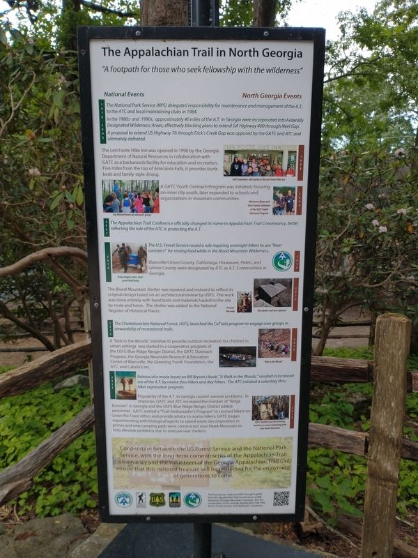
The National Park Service (NPS) delegated responsibility for maintenance and management of the A.T. to the ATC and local maintaining clubs in 1984.
In the 1980s and 1990s, approximately 40 miles of the A.T. in Georgia were incorporated into Federally Designated Wilderness Areas, effectively blocking plans to extend GA Highway 400 through Neel Gap.
A proposal to extend US Highway 76 through Dick’s Creek Gap was opposed by the GATC and ATC and ultimately defeated.
1998
The Len Foote Hike Inn was opened in 1998 by the Georgia Department of Natural Resources in collaboration with GATC as a backwoods facility for education and recreation. Five miles from the top of Amicalola Falls, it provides bunk beds and family-style dining. (caption) GATC members and youth at the Len Foote Hike Inn
2004
A GATC Youth Outreach Program was initiated, focusing on inner city youth, later expanded to schools and organizations in mountain communities. (captions) Jay Dement leads an outreach group • Marianne Skeen and Herb Daniel, initiators of the GATC Youth Outreach Program
2005
The Appalachian Trail Conference officially changed its name to Appalachian Trail Conservancy, better reflecting the role of the ATC in protecting the A.T.
2010
The U.S. Forest Service issued a rule requiring overnight hikers to use “bear canisters” for storing food while in the Blood Mountain Wilderness. (caption) Army rangers carry bear-proof food boxes
2011
Blairsville/Union County, Dahlonega, Hiawassee, Helen, and Gilmer County were designated by ATC as A.T. Communities in Georgia.
2012
The Blood Mountain Shelter was repaired and restored to reflect its original design based on an architectural review by USFS. The work was done entirely with hand tools and materials hauled to the site by ule and horse. The shelter was added to the National Register of Historical Places. (captions) Possum the mule • The shelter roof was replaced
2012
The Chattahoochee National Forest, USFS, launched the CoTrails program to engage user groups in stewardship of recreational trails.
2015 A “Kids in the Woods” initiative to provide outdoor recreation for children in urban settings was started in a cooperative program of the USFS Blue Ridge Ranger District, the GATC Outreach Program, the Georgia Mountain Research & Education Center of Blairsville, the Greening Youth Foundation, the ATC, and Cabela’s Inc. (caption) “Kids in the Woods”
2015
Release of a movie based on Bill Bryson’s book, “A Walk in the Woods”, resulted in increased use of the A.T. by novice thru-hikers and day-hikers. The ATC initiated a voluntary thru-hiker registration program.
2015
Popularity of the A.T. in Georgia caused overuse problems. In response, GATC and ATC increased the number of “Ridge Runners” in Georgia and the USFS Blue Ridge Ranger District added personnel. GATC started a “Trail Ambassador’s Program” to counsel hikers on Leave No Trace ethics and provide advice to novice hikers. GATC began experimenting with biological agents to speed waster decomposition in privies and new camping pads were constructed near Hawk Mountain to help alleviate problems due to overuse near shelters. (caption) GATC members put the finishing touches on a new composting privy near Hawk Mountain
Cooperation between the US Forest Service and the National Park Service, with the long-term commitments of the Appalachian Trail Conservancy and the volunteers of the Georgia Appalachian Trail Club ensure that this national treasure will be protected for the enjoyment of generations to come.
(panel 4) The Appalachian Trail in North Georgia
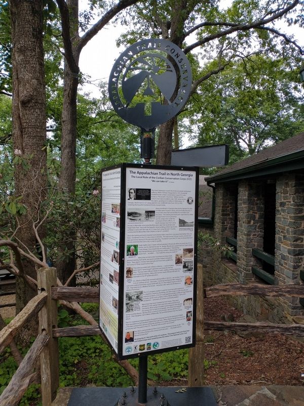
The Local Role of the Civilian Conservation Corps (CCC)
“We can take it!” [CCC Motto]
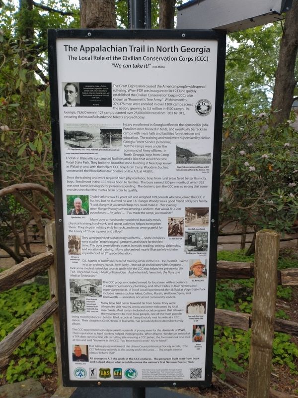
The Great Depression caused the American people widespread suffering. When FDR was inaugurated in 1933, he quickly established the Civilian Conservation Corps (CCC), also known as “Roosevelt’s Tree Army”. Within months, 274,375 men were enrolled in over 1300 camps across the nation, growing to 3. Million in 4500 camps. In Georgia, 78,630 men in 127 camps planted over 25,000,000 trees from 1933 to 1942, restoring the beautiful hardwood forests enjoyed today. (caption) I propose to create a Civilian Conservation Corps to be sued in simple work…More important, however, than the material gains will be the moral and spiritual value of such work. - Franklin D. Roosevelt -
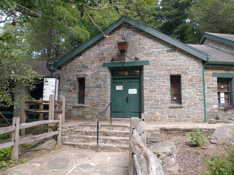
Heavy enrollment in Georgia reflected the demand for jobs. Enrollees were housed in tents, and eventually barracks, in camps with mess halls and facilities for recreation and education. The training and work were supervised by civilian Georgia Forest Service personnel, but the camps were under the command of Army officers. In North Georgia, boys from Camp Enotah in Blairsville constructed facilities and a lake that would become Vogel State Park. They built the beautiful stone building at Neel Gap known as Walasi-yi and, with the help of CCC boys from Camp Woody in Suches, constructed the Blood Mountain Shelter on the A.T. at 4458 ft. (captions) CCC Camp Enotah, 1933-1935, Blairsville, present site of Goose Creek Courtesy Georgia Archives, Vanishing Georgia Collection, ccc037 • Vogel Park construction: bathhouse on left, lake, dam and spillway in the distance, 1935. Courtesy, NARA
Since the training and work required hard physical labor, boys from rural areas fared better than city boys. Enrollment in the CCC was a boon to families. The boys earned $30 per month, of which $25 was sent home, leaving $5 for personal spending. The desire to join the CCC was so strong that some recruits stretched the truth a bit in order to qualify.
Clyde Harkins was 15 years old and weighed 109 pounds when he joined the CCC in Suches, but he claimed he was 18. Ranger Woody was a good friend of Clyde’s family. “I said, Ranger, if you would help me I could make it. That evening when Ranger Woody saw me wearing a uniform that would fit a 200 pound man…he yelled…’You made the camp, you made it!” (caption) Clyde Harkins 2015
Many boys arrived undernourished; but daily meals, physical training, hard work, and sports activities helped strengthen them. They slept in military style barracks and most were grateful for the luxury of “three squares and a flop”. (captions) Mess hall, Camp Enotah • CCC boys show off
They were provided with military uniforms—some enrollees were clad in “store bought” garments and shoes for the first time. The boys were offered classes in math, reading, writing, citizenship, and vocational training. Many who arrived nearly illiterate left with the equivalent of an 8th grade education. (captions) CCC boys in uniform to go to town • Reading room, Camp Enotah Courtesy, NARA
D.L. Martin of Blairsville received training while in the CCC. He recalled, “I went in as an ordinary recruit. I was lucky. I moved up and became Mess Sergeant. I took some medical technician courses while with the CCC that helped me get on with the TVA. They hired me as a Medical Technician. And when I left, I went into the Navy as a Medical Technician.” (caption) D.L. Martin, 2015
The CCC Program created a need for local men with experience in carpentry, masonry, plumbing, and other trades to train recruits and supervise projects. A list of Local Experienced Men (LEMs) at Vogel State Park includes names such as Akins, Collins, Martin, Wellborn, Spiva, and Duckworth — ancestors of current community leaders. (caption) Wood shop and waterwheel (above); tools fashioned in the blacksmith shop (left) Courtesy, NARA
Many boys had never traveled far from home. They were allowed to visit nearby towns and were welcomed by local merchants. Most camps included social programs that allowed the young men to meet local people, one of the most popular being monthly dances. Benton Efird, a cook at Camp Enotah, met his wife at a CCC dance. Their daughter, Geri O-Brian of Blairsville, has provided photos from her family album. (caption) Four cooks from Camp Enotah, Benton Efird far left
The CCC experience helped prepare thousands of young me from the demands of WWII. Their reputation as hard workers helped them get jobs. When Wayne Henderson arrived at a TVA dam construction job recruiting site wearing a CCC jacket, the foreman took one look at him and said “You were in the CCC: You know how to work! You’re hired!” (caption) Wayne Henderson, 2000
Bud Akins, past president of the Union County Historical Society recalls, “The CCC fed so many a family in this county and in this area….The people were so blessed to have that” (caption) Bud Akins, 2015
All along the A.T. the work of the CCC endures. The program built men from boys ad helped shape what would become the nation’s first National Scenic Trail.
Erected by Appalachian Trail Conservancy.
Topics. This historical marker is listed in this topic list: Parks & Recreational Areas. A significant historical date for this entry is March 4, 1933.
Location. 34° 44.117′ N, 83° 55.075′ W. Marker is near Blairsville, Georgia, in Union County. Marker is on Gainsville Highway (U.S. 129/19) 0.6 miles north of Blood Mountain Cove Road, on the right when traveling north. Touch for map. Marker is at or near this postal address: 12471 Gainesville Hwy, Blairsville GA 30512, United States of America. Touch for directions.
Other nearby markers. At least 8 other markers are within 10 miles of this marker, measured as the crow flies. Blood Mountain (a few steps from this marker); Byron Herbert Reece (approx. 3.2 miles away); Hogpen Gap (approx. 4½ miles away); Homesite of Joseph Emerson Brown (approx. 6.7 miles away); Trahlyta’s Grave (approx. 7.7 miles away); Souther Mill (approx. 9.9 miles away); Union County War Memorial (approx. 9.9 miles away); Union County (approx. 10 miles away). Touch for a list and map of all markers in Blairsville.
Credits. This page was last revised on August 16, 2023. It was originally submitted on August 7, 2023, by Tom Bosse of Jefferson City, Tennessee. This page has been viewed 108 times since then and 36 times this year. Photos: 1, 2, 3, 4, 5. submitted on August 7, 2023, by Tom Bosse of Jefferson City, Tennessee. 6. submitted on August 8, 2023, by Tom Bosse of Jefferson City, Tennessee. 7. submitted on August 15, 2023, by Tom Bosse of Jefferson City, Tennessee. 8, 9. submitted on August 8, 2023, by Tom Bosse of Jefferson City, Tennessee. 10. submitted on August 7, 2023, by Tom Bosse of Jefferson City, Tennessee. • Bernard Fisher was the editor who published this page.
