Greeneville in Greene County, Tennessee — The American South (East South Central)
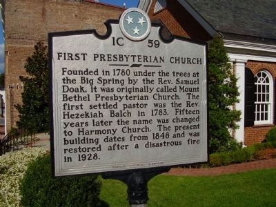
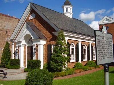
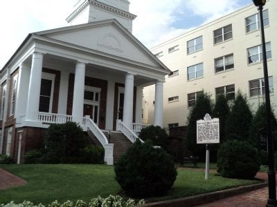
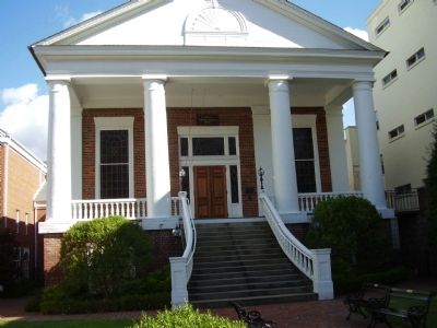
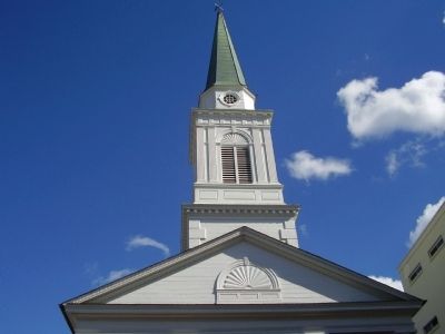
First Presbyterian Church
Erected by Tennessee Historical Commission. (Marker Number 1C 59.)
Topics and series. This historical marker is listed in these topic lists: Churches & Religion • Settlements & Settlers. In addition, it is included in the Tennessee Historical Commission series list. A significant historical year for this entry is 1780.
Location. 36° 9.819′ N, 82° 49.842′ W. Marker is in Greeneville, Tennessee, in Greene County. Marker is on North Main Street (State Highway 35/107) near East Church Street, on the right when traveling south. Touch for map. Marker is at or near this postal address: 154 North Main Street, Greeneville TN 37743, United States of America. Touch for directions.
Other nearby markers. At least 8 other markers are within walking distance of this marker. Greeneville Union Convention (within shouting distance of this marker); Sgt. Elbert L. Kinser (within shouting distance of this marker); Greene County Civil War (within shouting distance of this marker); Greenville Cumberland Presbyterian Church (within shouting distance of this marker); Greeneville, Tennessee (within shouting distance of this marker); Roll of Honor – Greene County (within shouting distance of this marker); John H. Morgan (within shouting distance of this marker); Governor John Sevier (about 300 feet away, measured in a direct line). Touch for a list and map of all markers in Greeneville.
Also see . . .
1. Samuel Doak entries in the Tennessee Encyclopedia of History and Culture. (Submitted on September 14, 2011, by PaulwC3 of Northern, Virginia.)
2. The Historic American Building Survey Record for the First Presbyterian Church. (Submitted on August 23, 2015.)
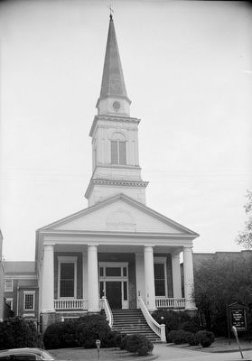
Photographed By Ray Moody, January 20, 1958
6. VIEW LOOKING EAST. - First Presbyterian Church, North Main Street, Greeneville, Greene County
Significance: This 1847 Classic Revival church, the interior of which is not original, was at one time the only church between Knoxville and Washington College, a distance of about one hundred miles. - Historic American Buildings Survey
Credits. This page was last revised on June 16, 2016. It was originally submitted on October 5, 2009, by Stanley and Terrie Howard of Greer, South Carolina. This page has been viewed 1,045 times since then and 20 times this year. Photos: 1, 2. submitted on October 5, 2009, by Stanley and Terrie Howard of Greer, South Carolina. 3. submitted on August 14, 2012, by Bill Coughlin of Woodland Park, New Jersey. 4, 5. submitted on October 5, 2009, by Stanley and Terrie Howard of Greer, South Carolina. 6. submitted on August 23, 2015. • Syd Whittle was the editor who published this page.
