LeClaire in Scott County, Iowa — The American Midwest (Upper Plains)
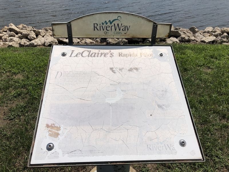
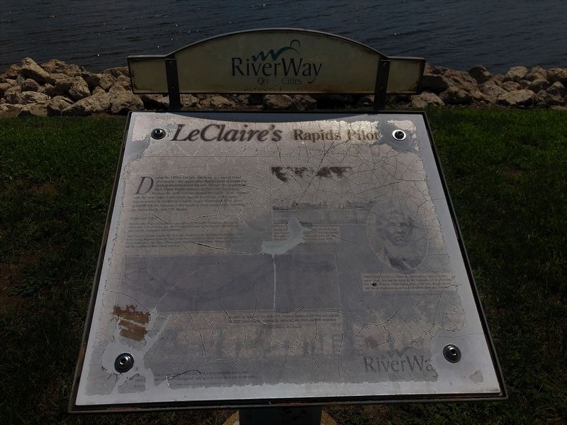
LeClaire's Rapid Pilots
— Quad Cities Riverway —
[Captions (left to right)]
• In 1837, Lt. Robert E. Lee of the U.S. Corps of Engineers surveyed and mapped the Rock Island Rapids, showing the chains of rock which impeded navigation.
• (unreadable)
• Philip Suiter arrived in LeClaire in 1836 and was one of the first rapids pilots, learning the rapids by the landmarks on the riverbanks. For almost 100 years, Philip Suiter, three of his sons, two grandsons and two great-grandsons served as riverboat pilots and captains.
Topics. This historical marker is listed in this topic list: Waterways & Vessels. A significant historical year for this entry is 1836.
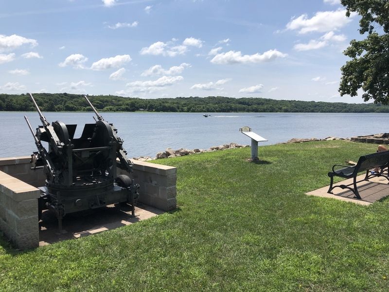
Location. 41° 35.846′ N, 90° 20.558′ W. Marker has been damaged. Marker is in LeClaire, Iowa, in Scott County. Marker can be reached from Wisconsin Street east of Front Street. Marker is on a walking path along the river. Touch for map. Marker is in this post office area: Le Claire IA 52753, United States of America. Touch for directions.
Other nearby markers. At least 8 other markers are within walking distance of this location. LeClaire Veterans Monument (a few steps from this marker); Green Tree / Buffalo Bill Trail (within shouting distance of this marker); Buffalo Bill Museum (about 400 feet away, measured in a direct line); LeClaire City Hall (about 500 feet away); The Horton-Suiter House (about 700 feet away); The George Tromley, Jr. House (about 800 feet away); The Jacob Suiter House (approx. 0.2 miles away); The Samuel Van Sant House (approx. 0.2 miles away). Touch for a list and map of all markers in LeClaire.
Also see . . . Robert E. Lee. In 1837, the young U.S. Army lieutenant (and later Confederate general) was assigned the task of mapping two treacherous rapids on the upper Mississippi River. Audio version also available. (Roald Tweet, WVIK-FM, posted Oct. 23, 2020)/ (Submitted on August 9, 2023, by Duane and Tracy Marsteller of Murfreesboro, Tennessee.)
Credits. This page was last revised on August 9, 2023. It was originally submitted on August 9, 2023, by Duane and Tracy Marsteller of Murfreesboro, Tennessee. This page has been viewed 67 times since then and 20 times this year. Photos: 1, 2, 3. submitted on August 9, 2023, by Duane and Tracy Marsteller of Murfreesboro, Tennessee.


