South Jordan in Salt Lake County, Utah — The American Mountains (Southwest)
Irrigation
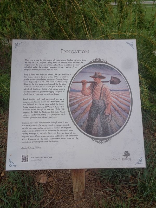
Dug by hand with picks and shovels, the Beckstead Ditch first carried water to this area in June 1859. The ditch was graded so that gravity helped bring water from the Jordan River. Beginning at about 12600 South in what is today Riverton, the river water moved through the ditch in a northwest direction to the South Jordan fields. A spirit level, in which a bubble of air moved inside a small tube of liquid, guided the digging and grade of the ditches to carry water through the farms.
Local families built and maintained the early irrigation ditches and canals. The Beckstead Ditch was followed by a larger canal called the South Jordan Canal, dug between 1870 and 1875, a portion of which passes through the west end of the Holt property. In 1880 the Utah and Salt Lake Canal Company was formed, and by 1884, pumps and canals also brought water north from Utah Lake.
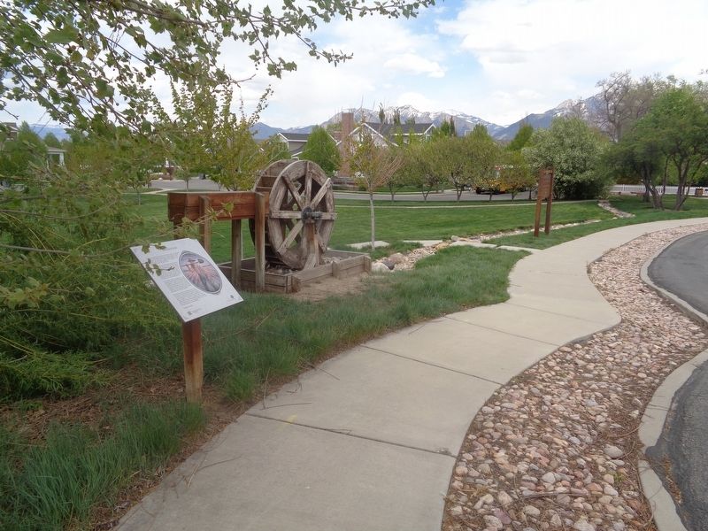
Farmers drew water from the canal through weirs. A weir is a board or other obstruction placed in a stream or ditch to raise the water and divert it into a millrace or irrigation ditch. The size of the weir can determine the amount of water flowing through it, so each farm can draw its share of the irrigation water. Canal weirs were raised and lowered with a removable wheel. Members of the local communities often serve on the committees governing the water distribution.
Erected by City of South Jordan.
Topics. This historical marker is listed in these topic lists: Settlements & Settlers • Waterways & Vessels. A significant historical month for this entry is June 1859.
Location. 40° 33.832′ N, 111° 55.677′ W. Marker is in South Jordan, Utah, in Salt Lake County. Marker is on West Holt Farm Lane east of South Temple Drive, on the left when traveling east. Marker is on the grounds of Holt Farmstead Park. Touch for map. Marker is at or near this postal address: 10317 S 1300 W, South Jordan UT 84095, United States of America. Touch for directions.
Other nearby markers. At least 8 other markers are within walking distance of this marker. The Grove (within shouting distance of this marker); The Samuel Elijah Holt Farm (within shouting distance of this marker); Hitching Post & Watering Trough (within shouting distance of this marker); Samuel Elijah & Margaret Geneva Holt (about 300 feet away, measured in a direct line); Samuel and Geneva Holt Farmstead (about 300 feet away); Milk House
(about 300 feet away); Coal Storage Shed (about 400 feet away); Lamb Shed (about 400 feet away). Touch for a list and map of all markers in South Jordan.
Also see . . .
1. Samuel and Geneva Holt Farmstead on Wikipedia. Added to the National Register of Historic Places on September 7, 2001 (#01000963). (Submitted on August 10, 2023, by Jason Voigt of Glen Carbon, Illinois.)
2. City of South Jordan website. Web address is on the bottom of the marker (Submitted on August 10, 2023, by Jason Voigt of Glen Carbon, Illinois.)
Credits. This page was last revised on August 10, 2023. It was originally submitted on August 10, 2023, by Jason Voigt of Glen Carbon, Illinois. This page has been viewed 48 times since then and 12 times this year. Photos: 1, 2. submitted on August 10, 2023, by Jason Voigt of Glen Carbon, Illinois.

