Rancho Cucamonga in San Bernardino County, California — The American West (Pacific Coastal)
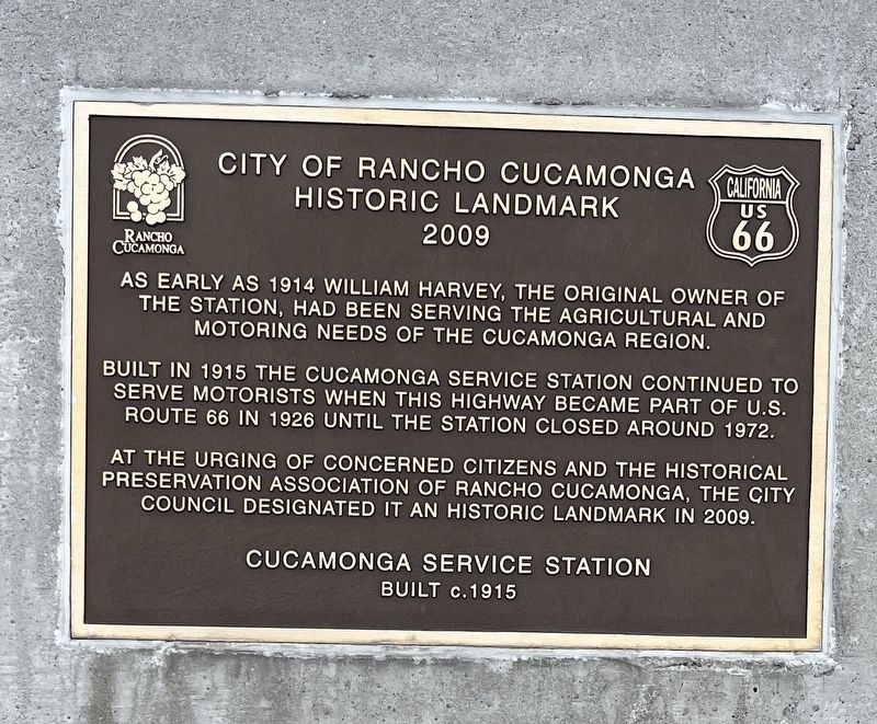
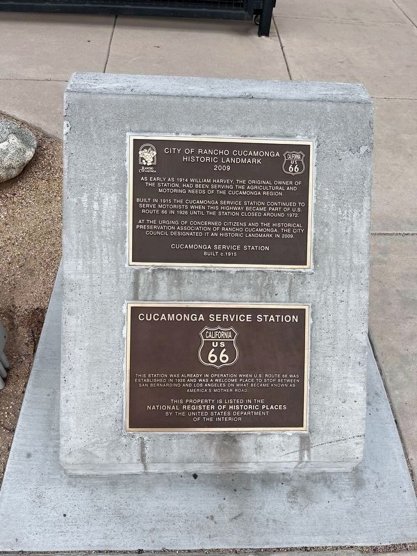
City of Rancho Cucamonga Historic Landmark (2009)
Built in 1915 the Cucamonga Service Station continued to serve motorists when this highway became part of U.S. 66 in 1926 until the station closed around 1972.
As the urging of concerned citizens and the historical preservation assication of Rancho Cucamonga, the city council designated it an historic landmark in 2009.
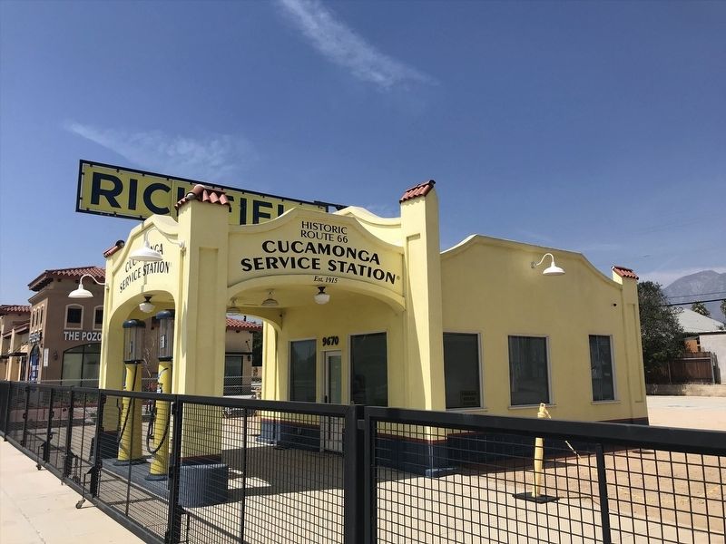
Cucamonga Service Station
Built c. 1915
Erected 2009 by City of Rancho Cucamonga.
Topics. This historical marker is listed in these topic lists: Industry & Commerce • Roads & Vehicles. A significant historical year for this entry is 1915.
Location. 34° 6.406′ N, 117° 35.656′ W. Marker is in Rancho Cucamonga, California, in San Bernardino County. Marker is on Foothill Boulevard (U.S. 66), on the right when traveling west. Touch for map. Marker is at or near this postal address: 9670 Foothill Boulevard, Rancho Cucamonga CA 91730, United States of America. Touch for directions.
Other nearby markers. At least 8 other markers are within 2 miles of this marker, measured as the crow flies. Cucamonga Service Station (here, next to this marker); a different marker also named Cucamonga Service Station (a few steps from this marker); El Camino Real Bells (approx. ¼ mile away); Cucamonga Rock Church (approx. half a mile away); Cucamonga Winery (approx. 0.9 miles away); Tapia Adobe Site (approx. 0.9 miles away); Red Hill (approx. one mile away); Alta Loma Packing House / Pacific Electric Railway (approx. 1.2 miles away). Touch for a list and map of all markers in Rancho Cucamonga.
Credits. This page was last revised on August 18, 2023. It was originally submitted on August 10, 2023, by Adam Margolis of Mission Viejo, California. This page has been viewed 77 times since then and 32 times this year. Photos: 1, 2, 3. submitted on August 10, 2023, by Adam Margolis of Mission Viejo, California. • Andrew Ruppenstein was the editor who published this page.


