Sheldon Charter Oak in Hartford in Hartford County, Connecticut — The American Northeast (New England)
Park History
[Porter Memorial Park]
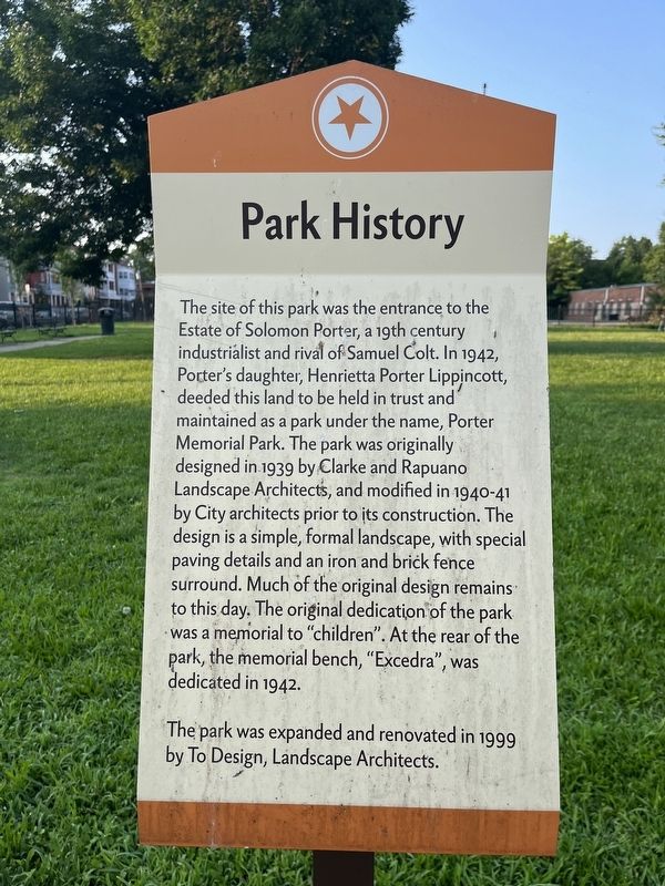
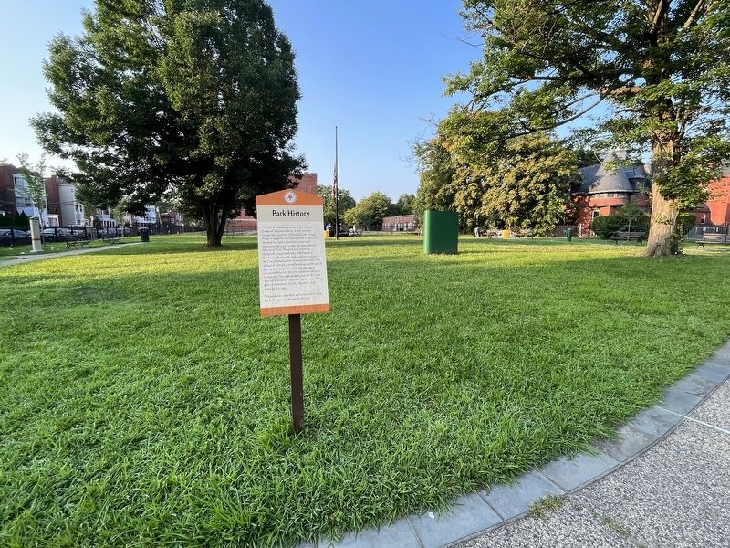
The site of this park was the entrance to the Estate of Solomon Porter, a 19th century industrialist and rival of Samuel Colt. In 1942, Porter's daughter, Henrietta Porter Lippincott, deeded this land to be held in trust and maintained as a park under the name, Porter Memorial Park. The park was originally designed in 1939 by Clarke and Rapuano Landscape Architects, and modified in 1940-41 by City architects prior to its construction. The design is a simple, formal landscape, with special paving details and an iron and brick fence surround. Much of the original design remains to this day. The original dedication of the park was a memorial to "children". At the rear of the park, the memorial bench, "Excedra", was dedicated in 1942.
The park was expanded and renovated in 1999 by To Design, Landscape Architects.
Erected by Hartford Parks.
Topics. This historical marker is listed in these topic lists: Architecture • Parks & Recreational Areas. A significant historical year for this entry is 1942.
Location. 41° 45.368′ N, 72° 40.434′ W. Marker is in Hartford, Connecticut, in Hartford County. It is in Sheldon Charter Oak. Marker is on Wyllys Street west of Groton Street, on the right when traveling east. Touch for map. Marker is at or near this postal address: 49 Wyllys St, Hartford CT 06106, United States of America. Touch for directions.
Other nearby markers. At least 8 other markers are within walking distance of this marker. A different marker also named Park History (about 400 feet away, measured in a direct line); a different marker also named Park History (about 600 feet away); Engine Company 1 Fire Station (approx. 0.2 miles away); Samuel Colt (approx. 0.2 miles away); Charter Oak Monument (approx. ¼ mile away); Charter Oak Temple (approx. ¼ mile away); City of Hartford (approx. ¼ mile away); Second Church of Christ (approx. ¼ mile away). Touch for a list and map of all markers in Hartford.
Additional keywords. landscape architecture
Credits. This page was last revised on August 10, 2023. It was originally submitted on August 10, 2023, by Devry Becker Jones of Washington, District of Columbia. This page has been viewed 56 times since then and 14 times this year. Photos: 1, 2. submitted on August 10, 2023, by Devry Becker Jones of Washington, District of Columbia.

