Uvalde in Uvalde County, Texas — The American South (West South Central)
Picket Quartermaster Storehouse
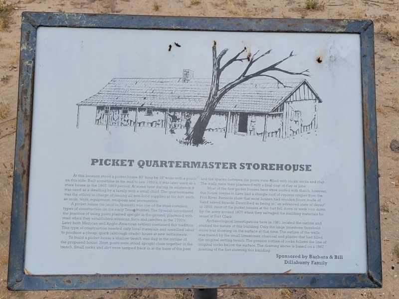
A picket house (or jacal in Spanish) was one of the most common types of construction on the early Texas frontier. The Spanish introduced the practice of using posts planted upright in the ground, plastered with mud when they established missions, forts and ranches in the 1700's. Later both Mexican and Anglo-American settlers continued this tradition. This type of construction needed only local materials and unskilled labor to produce a cheap, quick (although crude) house at new settlements.
To build a picket house a shallow trench was dug in the outline of the proposed house. Next, posts were stood upright close together in the trench. Small rocks and dirt were tamped back in at the base of the post and the spaces between the posts were filled with sticks, rocks and clay. The walls were then plastered with a final coat of clay or lime.
Most of the first picket houses here were roofed with thatch; however, this house seems to have had a shingle roof of cypress singles from the Frio River. Records show that most houses had wooden floors made of hand sawed boards. Described as being in "an advanced state of decay" in 1868, most of the picket houses at the fort fell down or were torn down by the army around 1870 when they salvaged the building materials for reuse at Fort Clark.
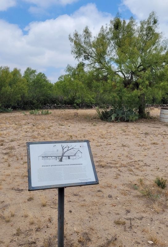
Archaeological investigations here in 1981 located the outline and studied the nature of this building. Only the large limestone threshold stone was showing on the surface at that time. The outline of the walls was traced by the small limestones, charcoal and plaster that had filled the original setting trench. The present outline of rocks follows the line of original rocks below the surface. The drawing above is based on a 1867 drawing of the fort showing this building.
Erected by Fort Inge Historical Park and Barbara & Bill Dillahunty Family.
Topics. This historical marker is listed in these topic lists: Anthropology & Archaeology • Forts and Castles. A significant historical year for this entry is 1868.
Location. 29° 10.738′ N, 99° 45.99′ W. Marker is in Uvalde, Texas, in Uvalde County. Marker can be reached from County Highway 375, half a mile south of Farm to Market Road 140. The marker is located in the Fort Inge Historical Park. Touch for map. Marker is in this post office area: Uvalde TX 78801, United States of America. Touch for directions.
Other nearby markers. At least 8 other markers are within 3 miles of this marker, measured as the crow flies. Hospital and Commissary (within shouting distance of this marker); Barracks for the Soldiers (within shouting distance of this marker); Drawing of Fort Inge from this point of view (within shouting distance of this marker); Brush Arbor with Tents (about 300 feet away, measured in a direct line); Fort Wall (about 300 feet away); Site of Fort Inge (about 400 feet away); Nicolas Street School (approx. 2.3 miles away); Operation Enduring Freedom Memorial (approx. 2.4 miles away). Touch for a list and map of all markers in Uvalde.
More about this marker. The marker is located in the Fort Inge Historical Park and it does require a small self-serve entry fee to visit. The park is only open on weekends.
Also see . . . Fort Inge. Texas State Historical Association (TSHA)
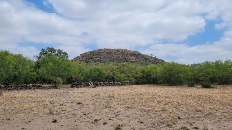
Fort Inge (Camp Leona) is on the east bank of the Leona River a mile south of Uvalde in southern Uvalde County. The site is dominated by Mount Inge, a 140-foot volcanic plug of Uvalde phonolite basalt.(Submitted on August 13, 2023, by James Hulse of Medina, Texas.)
Credits. This page was last revised on August 13, 2023. It was originally submitted on August 13, 2023, by James Hulse of Medina, Texas. This page has been viewed 59 times since then and 18 times this year. Photos: 1, 2, 3. submitted on August 13, 2023, by James Hulse of Medina, Texas.


