Tallahassee in Leon County, Florida — The American South (South Atlantic)
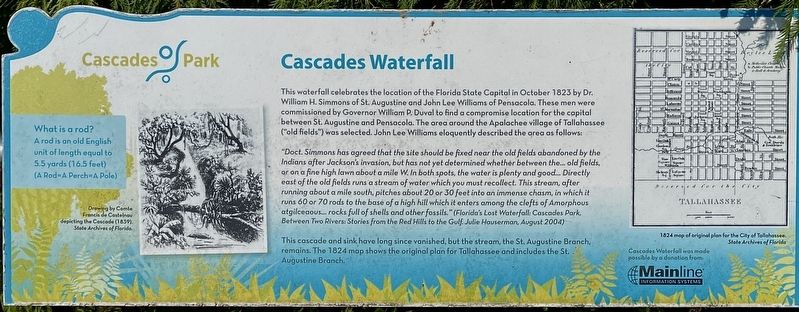
Cascades Waterfall
Cascades Park
"Doct. Simmons has agreed that the site should be fixed near the old fields abandoned by the Indians after Jackson's invasion, but has not yet determined whether between the… old fields, or on a fine high lawn about a mile W. In both spots, the water is plenty and good… Directly east of the old fields runs a stream of water which you must recollect. This stream, after running about a mile south. pitches about 20 or 30 feet into an immense chasm, in which it runs 60 or 70 rods to the base of a high hill which it enters among the clefts of Amorphous atgilceaous… rocks full of shells and other fossils." (Florida's Lost Waterfall: Cascades Park, Between Two Rivers: Stories from the Red Hills to the Gulf. Julie Hauserman, August 2004)
This cascade and sink have long since vanished, but the stream, the St. Augustine Branch, remains. The 1824 map shows the original plan for Tallahassee and includes the St. Augustine Branch.
(sidebar)
What is a rod? A rod is an old English unit of length equal to 5.5 yards (16.5 feet) (A Rod=A Perch=A Pole)
(captions)
Drawing by Comte Francis de Castelnau depicting the Cascade (1839). State Archive of Florida
1824 map of original plan for the City of Tallahassee. State Archives of Florida
Erected by Mainline Information Systems.
Topics. This historical marker is listed in these topic lists: Exploration • Parks & Recreational Areas • Settlements & Settlers. A significant historical month for this entry is October 1823.
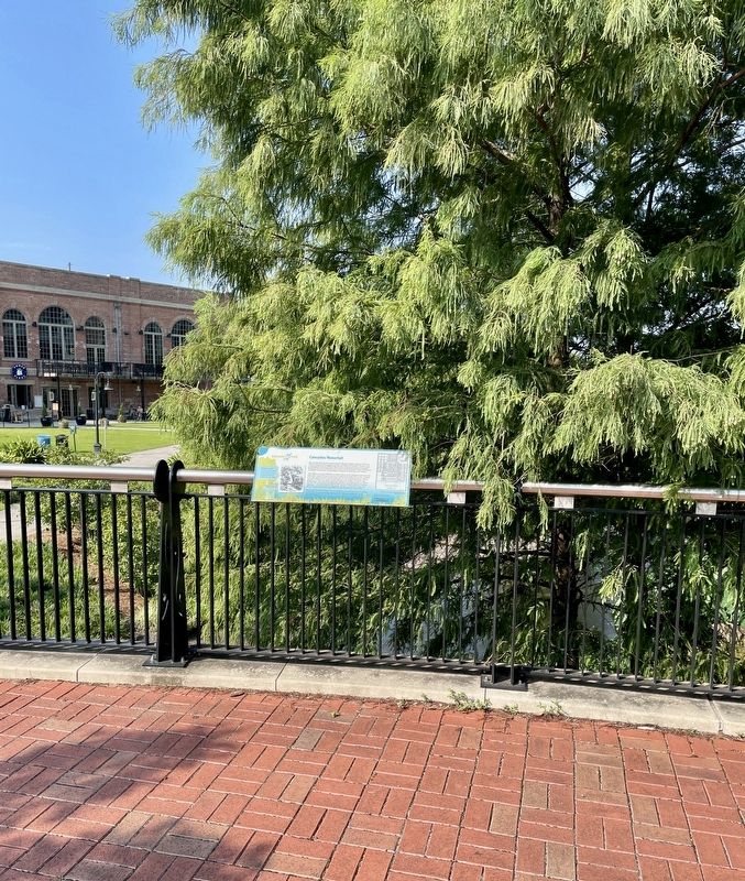
Location. 30° 26.06′ N, 84° 16.637′ W. Marker is in Tallahassee, Florida, in Leon County. Marker can be reached from the intersection of South Gadsden Street and East Bloxham Street, on the left when traveling south. Marker located within the Cascades Park west of the Adderley Amphitheater. Touch for map. Marker is at or near this postal address: 1001 Gadsden Street, Tallahassee FL 32301, United States of America. Touch for directions.
Other nearby markers. At least 8 other markers are within walking distance of this marker. The Prime Meridian Marker (a few steps from this marker); Adderley Amphitheater (within shouting distance of this marker); Lynching in America / Lynching In Leon County (about 300 feet away, measured in a direct line); Veterans Memorial (about 400 feet away); The Civil Rights Foot Soldiers of Tallahassee Memorial (about 400 feet away); Peace and Persistence (about 400 feet away); A Long Journey (about 400 feet away); Inspiring a Nation (about 400 feet away). Touch for a list and map of all markers in Tallahassee.
Also see . . . About Cascades Park. (Submitted on August 13, 2023, by Brandon D Cross of Flagler Beach, Florida.)
Credits. This page was last revised on August 14, 2023. It was originally submitted on August 13, 2023, by Brandon D Cross of Flagler Beach, Florida. This page has been viewed 77 times since then and 18 times this year. Photos: 1, 2. submitted on August 13, 2023, by Brandon D Cross of Flagler Beach, Florida. • Bernard Fisher was the editor who published this page.

