Grayling in Crawford County, Michigan — The American Midwest (Great Lakes)
History of the Grayling Fish Hatchery
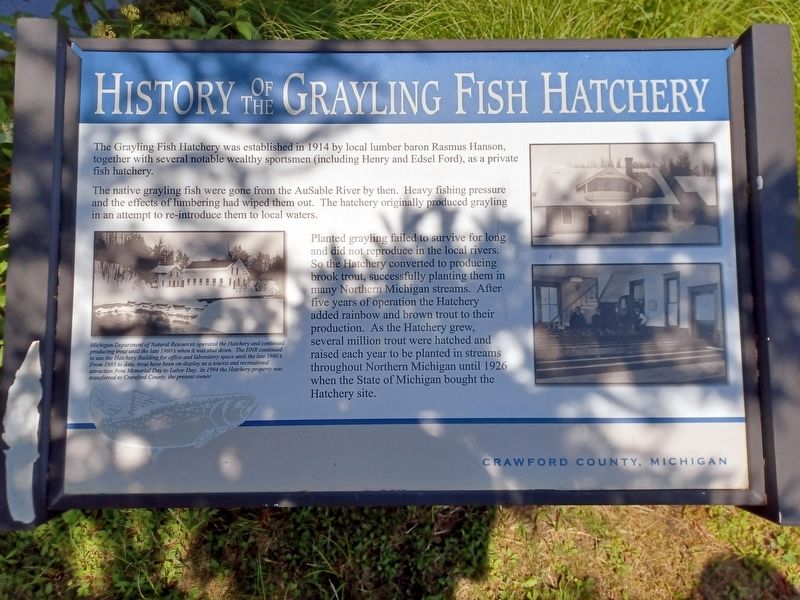
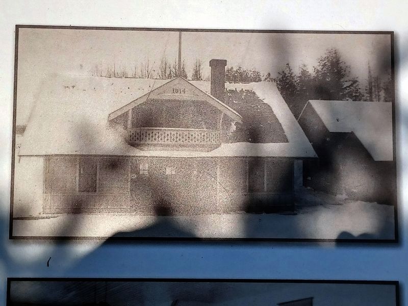
The Grayling Fish Hatchery was established in 1914 by local lumber baron Rasmus Hanson, together with several notable wealthy sportsmen (including Henry and Edsel Ford), as a private fish hatchery.
The native grayling fish were gone from the AuSable River by then. Heavy fishing pressure and the effects of lumbering had wiped them out. The hatchery originally produced grayling in an attempt to re-introduce them to local waters.
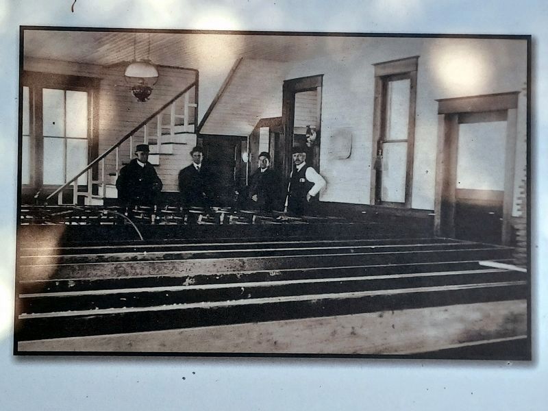
Planted grayling failed to survive for long and did not reproduce in the local rivers. So the Hatchery converted to producing brook trout, successfully planting them in many Northern Michigan streams. After five years of operation the Hatchery added rainbow and brown trout to their production. As the Hatchery grew, several million trout were hatched and raised each year to be planted in streams throughout Northern Michigan until 1926 when the State of Michigan bought the Hatchery site.
Erected by Crawford County, Michigan.
Topics. This historical marker is listed in these topic lists: Animals • Environment. A significant historical year for this entry is 1914.
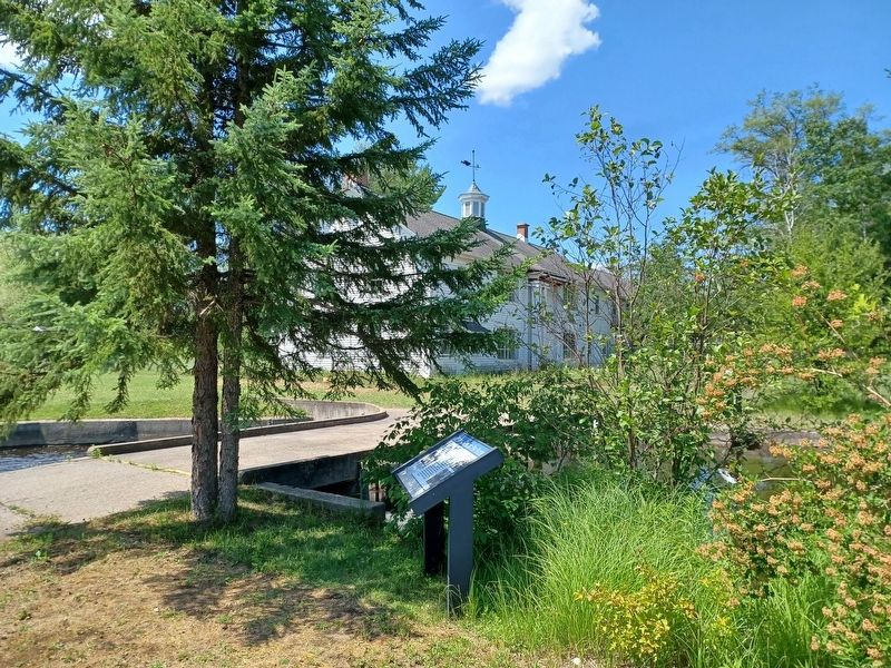
Location. 44° 40.222′ N, 84° 42.331′ W. Marker is in Grayling, Michigan, in Crawford County. Marker can be reached from West North Down River Road, 0.2 miles east of South Roberts Road. Marker is next to the East Branch Au Sable River, near the old Hatchery Building. Touch for map. Marker is at or near this postal address: 4890 W North Down River Rd, Grayling MI 49738, United States of America. Touch for directions.
Other nearby markers. At least 8 other markers are within walking distance of this marker. Grayling (within shouting distance of this marker); Creation Of An Artificial Trout Stream (within shouting distance of this marker); Michigan Grayling (within shouting distance of this marker); Michelson Memorial Methodist Episcopal Church (approx. 0.6 miles away); Au Sable Riverboat Commemoration (approx. 0.8 miles away); Chief Shoppenagon / Shoppenagon's Homesite (approx. 0.8 miles away); Grayling Depot (approx. 0.8 miles away); U.S.S. Grayling Anchor (approx. 0.8 miles away). Touch for a list and map of all markers in Grayling.
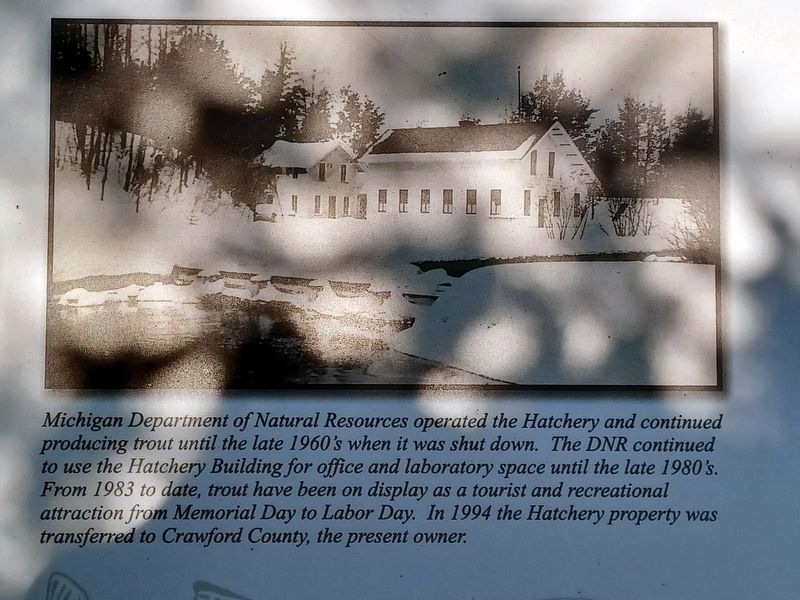
2. History of the Grayling Fish Hatchery Marker, left image
Michigan Department of Natural Resources operated the Hatchery and continued producing trout until the late 1960's when it was shut down. The DNR continued to use the Hatchery Building for office and laboratory space until the late 1980's. From 1983 to date, trout have been on display as a tourist and recreational attraction from Memorial Day to Labor Day. In 1994 the Hatchery property was transferred to Crawford County, the present owner.
Credits. This page was last revised on August 14, 2023. It was originally submitted on August 14, 2023, by Joel Seewald of Madison Heights, Michigan. This page has been viewed 64 times since then and 18 times this year. Photos: 1, 2, 3, 4, 5. submitted on August 14, 2023, by Joel Seewald of Madison Heights, Michigan.
