Dixon in Lee County, Illinois — The American Midwest (Great Lakes)
Historic Crawford Avenue Brick Street
Inscription.
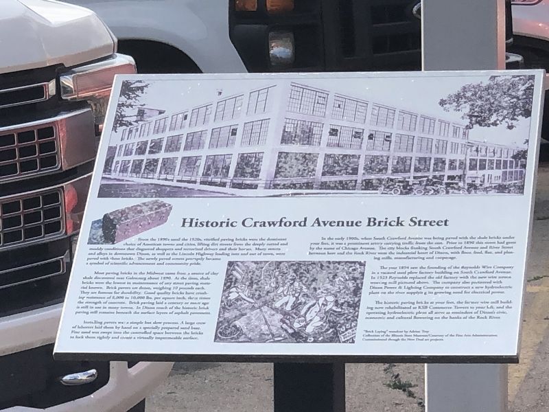
From the 1890s until the 1920s, vitified paving bricks were the dominant choice of American towns and cities, lifting dirt streets from the deeply rutted and muddy conditions that disgusted shoppers and terrified drivers and their horses. Many streets and alleys in downtown Dixon, as well as the Lincoln Highway leading into and out of town, were paved with these bricks. The newly paved streets promptly became a symbol of scientific advancement and community pride.
Most paving bricks in the Midwest came from a source of clay shale discovered near Galesburg about 1890. At the time, shale bricks were the lowest in maintenance of any street paving material known. Brick pavers are dense, weighing 10 pounds each. They are famous for durability. Good quality bricks have crushing resistance of 8,000 to 10,000 lbs per square inch, three times the strength of concrete. Brick paving laid a century or more ago is still in use in many towns. In Dixon much of the historic brick paving still remains beneath the surface layers of asphalt pavement.
Installing pavers was a simple but slow process. A large crew of laborers laid them by hand on a specially prepared road base. Fine sand was swept into the controlled space between the bricks to lock them tightly and create a virtually impermeable surface.
In the early 1900s, when South Crawford Avenue was being paved with the shale bricks under your feet, it was a prominent artery carrying traffic from the east. Prior to 1890 this street had gone by the name of Chicago Avenue. The city blocks flanking South Crawford Avenue and River Street between here and the Rock River were the industrial heart of Dixon, with flour, feed, flax and planing mills, manufacturing and cooperage.
The year 1894 saw the founding of the Reynolds Wire Company in a vacated steel plow factory building on South Crawford Avenue. In 1923 Reynolds replaced the old factory with the new wire screen weaving mill pictured above. The company also partnered with Dixon Power & Lighting Company to construct a new hydroelectric plant on the river supplying its growing need for electrical power.
The historic paving bricks at your feet, the former wire mill building was rehabilitated as KSB Commerce Towers to your left, and the operating hydroelectric plant all serve as reminders of Dixon's civic, economic and cultural flowering on the banks of the Rock River.
Topics. This historical marker is listed in these topic lists: Industry & Commerce • Roads & Vehicles. A significant historical year for this entry is 1890.
Location. 41° 50.659′ N, 89° 28.804′ W. Marker is in Dixon, Illinois, in Lee County. Marker is at the intersection
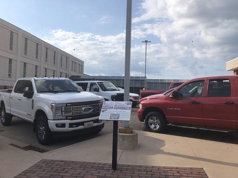
of East 1st Street and Crawford Avenue on East 1st Street. Marker is in front of Katherine Shaw Bethea Hospital's emergency room. Touch for map. Marker is at or near this postal address: 403 E 1st St, Dixon IL 61021, United States of America. Touch for directions.
Other nearby markers. At least 8 other markers are within walking distance of this marker. 123 East First Street (about 400 feet away, measured in a direct line); Berlin Wall Replica (about 700 feet away); Lincoln Supports Fremont for President (about 700 feet away); Reagan Peace Park Murals (about 700 feet away); 102 South Galena Avenue (about 700 feet away); The Wings of Peace and Freedom (about 700 feet away); Ward T. Miller (about 800 feet away); 101-103 West First Street (approx. 0.2 miles away). Touch for a list and map of all markers in Dixon.
Credits. This page was last revised on August 14, 2023. It was originally submitted on August 14, 2023, by Duane and Tracy Marsteller of Murfreesboro, Tennessee. This page has been viewed 65 times since then and 22 times this year. Photos: 1, 2. submitted on August 14, 2023, by Duane and Tracy Marsteller of Murfreesboro, Tennessee.
Editor’s want-list for this marker. Clear closeup photograph of marker • Can you help?

