Township of Ottawa in Dousman in Waukesha County, Wisconsin — The American Midwest (Great Lakes)
River Bend Creamery
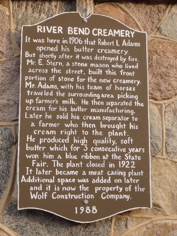
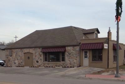
It was here in 1906 that Robert L. Adams opened his butter creamery. But shortly after it was destroyed by fire. Mr. E. Stern, a stone mason who lived across the street, built this front portion of stone for the new creamery. Mr. Adams, with his team of horses traveled the surrounding area picking up farmer's milk. He then separated the cream for his butter manufacturing. Later he sold his cream separator to a farmer who then brought his cream right to the plant. He produced high quality, soft butter which for 3 consecutive years won him a blue ribbon at the State Fair. The plant closed in 1922. It later became a meat casing plant. Additional space was added on later and it is now the property of the Wolf Construction Company.
Erected 1988.
Topics. This historical marker is listed in these topic lists: Agriculture • Architecture • Industry & Commerce. A significant historical year for this entry is 1906.
Location. 43° 1.083′ N, 88° 28.354′ W. Marker is in Dousman, Wisconsin, in Waukesha County. It is in Township of Ottawa. Marker is at the intersection of North Main Street and Wilson Avenue, on the right when traveling north on North Main Street. Touch for map. Marker is at or near this postal address: 278 N Main St, Dousman WI 53118, United States of America. Touch for directions.
Other nearby markers. At least 8 other markers are within 5 miles of this marker, measured as the crow flies. Dousman (approx. 0.4 miles away); Masonic Home (approx. half a mile away); Waterville (approx. 1.7 miles away); Lapham Peak (approx. 4.2 miles away); a different marker also named Lapham Peak (approx. 4.2 miles away); Cushing Memorial Park (approx. 4.2 miles away); Hawks Inn (approx. 4.4 miles away); Delafield Fish Hatchery (approx. 4˝ miles away). Touch for a list and map of all markers in Dousman.
Credits. This page was last revised on August 24, 2023. It was originally submitted on August 15, 2023, by James Bonewald of Dousman, Wisconsin. This page has been viewed 65 times since then and 18 times this year. Photos: 1, 2. submitted on August 15, 2023, by James Bonewald of Dousman, Wisconsin. • J. Makali Bruton was the editor who published this page.

