Northeast Anaheim in Orange County, California — The American West (Pacific Coastal)
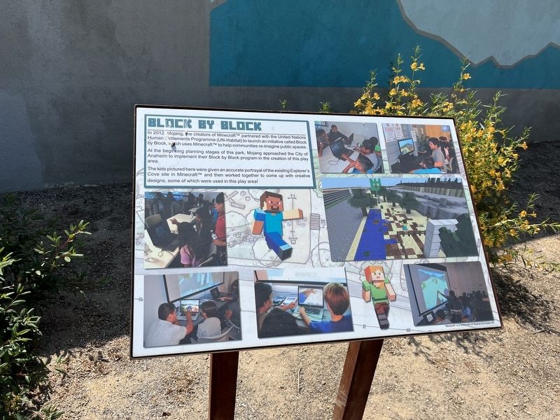
Block by Block
In 2012, Mojang, the creators of Minecraft, partnered with the United Nations Human Settlements Programme (UN-Habitat) to launch an initiative called Block by Block, which uses Minecraft to help communities reimagine public spaces.
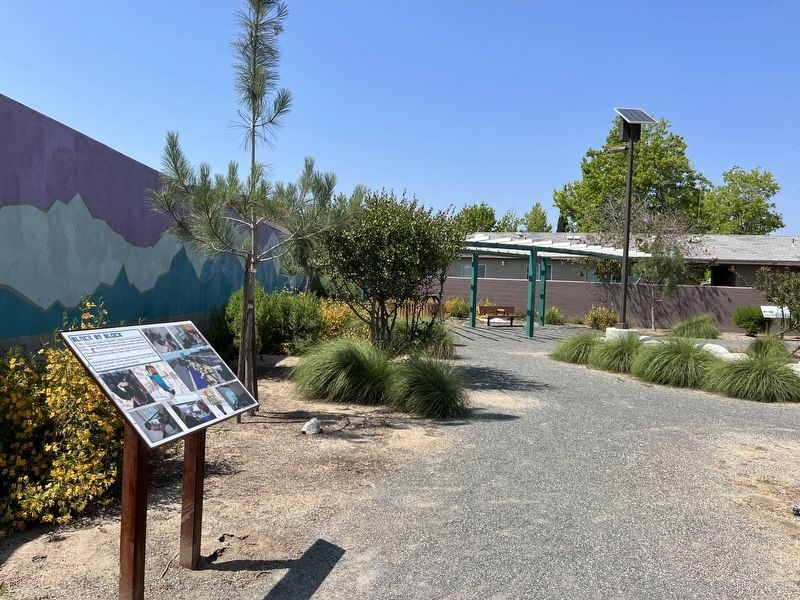
At the beginning planning stages of this park, Mojang approached the City of Anaheim to implement their Block by Block program in the creation of this play area.
The kids pictured here were given an accurate portrayal of the existing Explorer’s Cove site in Minecraft and then worked together to come up with creative designs, some of which were used in this play area!
Topics. This historical marker is listed in these topic lists: Charity & Public Work • Parks & Recreational Areas. A significant historical year for this entry is 2012.
Location. 33° 50.731′ N, 117° 51.458′ W. Marker is in Anaheim, California, in Orange County. It is in Northeast Anaheim. Marker can be reached from East Frontera Street. Touch for map. Marker is at or near this postal address: 3050 E Frontera St, Anaheim CA 92806, United States of America. Touch for directions.
Other nearby markers. At least 8 other markers are within 2 miles of this marker, measured as the crow flies. A different marker also named Block by Block (a few steps from this marker); a different marker also named Block by Block (within shouting distance of this marker); Boeing Autonetics (approx. half a mile away); Steve Ambriz Memorial Park (approx. 0.6 miles away); Campsite of Anza (approx. 0.8 miles away); Old Santa Ana (approx. 0.9 miles away); First Site of the Olive Mill (approx. 1.2 miles away); Dwight David Eisenhower (approx. 1.3 miles away). Touch for a list and map of all markers in Anaheim.
Credits. This page was last revised on September 5, 2023. It was originally submitted on August 15, 2023, by Adam Margolis of Mission Viejo, California. This page has been viewed 58 times since then and 19 times this year. Photos: 1, 2. submitted on August 15, 2023, by Adam Margolis of Mission Viejo, California. • J. J. Prats was the editor who published this page.

