Malta Township in DeKalb County, Illinois — The American Midwest (Great Lakes)
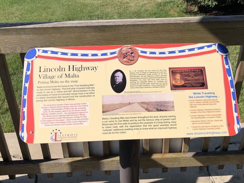
Lincoln Highway
Village of Malta
— Putting Malta on the map —
Malta's Seedling Mile was known throughout the land. Anyone owning a car came to visit Malta and try out the famous strip of paved road! Illinois was the first state to produce this example of a long lasting, easy to travel road, with the expectation that this good example would “cultivate” additional seedling miles to show what an improved highway could do for the nation.
[Caption] Dr. J.W. Corkings was the consul for the local highway area in charge of collecting the funds and securing a particularly muddy location for the first demonstration. He had obtained a steam operated concrete mixer and some engineering expertise from Springfield. The mixer had never been used for anything but sidewalks before. Dr. Corkings had received the concrete gratis, funds from the County Board and public donations. Those donating $25 or more to the project received a mahogany plaque. Left image: “J.W. Corkings, State Consul, Illinois.” Lincoln Highway Digital Image Collection, Special Collections Library, University of Michigan-Ann Arbor; Right: Plaque image provided by Ivan Prall; Bottom: Image: “Illinois Concrete Road Bed, Illinois.” Lincoln Highway Digital Image Collection, Special Collections Library, University of Michigan-Ann Arbor
The Interpretive Gazebo Project was partially funded through a National Scenic Byway Grant from the Federal Highway Administration (FWA) with the remaining funds, for this location, paid for by the Illinois Lincoln Highway Coalition (ILHC) – the management agency for the Illinois Lincoln Highway National Scenic Byway. ILHC would like to thank Kishwaukee College for their in-kind support of this project. Grant funds were provided to tell the history and heritage of the Lincoln Highway in Illinois and stones of our corridor communities.
Topics and series. This historical marker is listed in this topic list: Roads & Vehicles. In addition, it is included in the Lincoln Highway series list. A significant historical year for this entry is 1914.
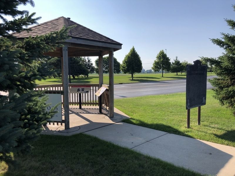
Location. 41° 56.235′ N, 88° 52.695′ W. Marker is near Malta, Illinois, in DeKalb County. It is in Malta Township. Marker can be reached from Malta Road (County Highway 31) 0.1 miles north of Lincoln Highway (State Route 38), on the left when traveling north. Marker is in a gazebo in Kishwaukee College's front parking lot. Touch for map
. Marker is at or near this postal address: 21193 Malta Rd, Malta IL 60150, United States of America. Touch for directions.
Other nearby markers. At least 8 other markers are within 6 miles of this marker, measured as the crow flies. Illinois Lincoln Highway (here, next to this marker); a different marker also named Illinois Lincoln Highway (here, next to this marker); The Lincoln Highway – The nation's first coast-to-coast highway! (here, next to this marker); Lincoln Highway Seedling Mile (here, next to this marker); Malta (approx. 0.9 miles away); Creston (approx. 4˝ miles away); Barbed Wire Manufacturing (approx. 5.6 miles away); Northern Illinois University (approx. 6.1 miles away). Touch for a list and map of all markers in Malta.
Credits. This page was last revised on August 16, 2023. It was originally submitted on August 16, 2023, by Duane and Tracy Marsteller of Murfreesboro, Tennessee. This page has been viewed 59 times since then and 16 times this year. Photos: 1, 2. submitted on August 16, 2023, by Duane and Tracy Marsteller of Murfreesboro, Tennessee.

