Malta Township in DeKalb County, Illinois — The American Midwest (Great Lakes)
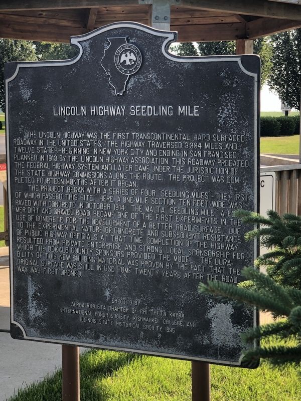
Lincoln Highway Seedling Mile
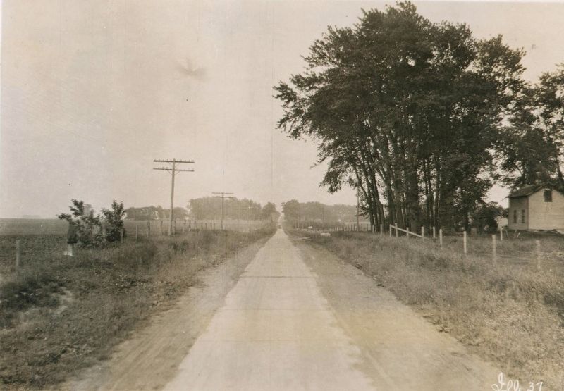
The project began with a series of four “seedling miles” – the first of which passed this site. Here, a one-mile section ten feet wide was paved with concrete in October 1914. The Malta “seedling mile,” a former dirt and gravel road, became one of the first experiments in the use of concrete for the development of a better road surface. Due to the experimental nature of concrete and subsequent resistance of public highway officials at that time, completion of the Highway resulted from private enterprise and strong, local sponsorship for which the DeKalb County sponsors provided the model. The durability of this new building material was proven by the fact that the original surface was still in use some twenty years after the road way was first opened.
Erected 1995 by Alpha Rho Eta Chapter of Phi Theta Kappa International Honor Society • Kishwaukee College • The Illinois State Historical Society.
Topics and series. This historical marker is listed in this topic list: Roads & Vehicles. In addition, it is included in the Lincoln Highway series list. A significant historical month for this entry is October 1914.
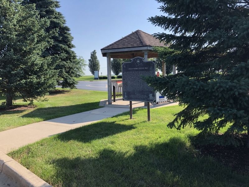
Location. 41° 56.234′ N, 88° 52.698′ W. Marker is near Malta, Illinois, in DeKalb County. It is in Malta Township. Marker can be reached from Malta Road (County Highway 31) 0.1 miles north of Lincoln Highway (State Route 38), on the left when traveling north. Marker is next to a gazebo in Kishwaukee College's front parking lot. Touch for map. Marker is at or near this postal address: 21193 Malta Rd, Malta IL 60150, United States of America. Touch for directions.
Other nearby markers. At least 8 other markers are within 6 miles of this marker, measured as the crow flies. Lincoln Highway (here, next to this marker); Illinois Lincoln Highway (here, next to this marker); The Lincoln Highway – The nation's first coast-to-coast highway! (here, next to this marker); a different marker also named Illinois Lincoln Highway (here, next to this marker); Malta (approx. 0.9 miles away); Creston (approx. 4˝ miles away); Barbed Wire Manufacturing (approx. 5.6 miles away); Northern Illinois University (approx. 6.1 miles away). Touch for a list and map of all markers in Malta.
Also see . . . Saving Americana – The Great Lincoln Highway. Delve into the origins of the Lincoln Highway, the country's daring first cross-country road, and follow the people traveling sections of that trip along highway 50 and Interstate 80 a hundred years later. (Viewfinder, the Public Broadcasting System, aired June 9, 2023) (Submitted on August 16, 2023, by Duane and Tracy Marsteller of Murfreesboro, Tennessee.)

from Lincoln Highway Digital Image Collection, University of Michigan Library (Public Domain)
3. Lincoln Highway First Seedling Mile
The Lincoln Highway Association picked a particularly muddy section of the planned route to pave its first mile. The goal was to show drivers how much better a concrete road was, thereby spurring greater public interest and financial support in the project.
Credits. This page was last revised on August 16, 2023. It was originally submitted on August 16, 2023, by Duane and Tracy Marsteller of Murfreesboro, Tennessee. This page has been viewed 102 times since then and 33 times this year. Photos: 1, 2. submitted on August 16, 2023, by Duane and Tracy Marsteller of Murfreesboro, Tennessee. 3. submitted on August 15, 2023, by Duane and Tracy Marsteller of Murfreesboro, Tennessee.

