Port Maitland in Haldimand County, Ontario — Central Canada (North America)
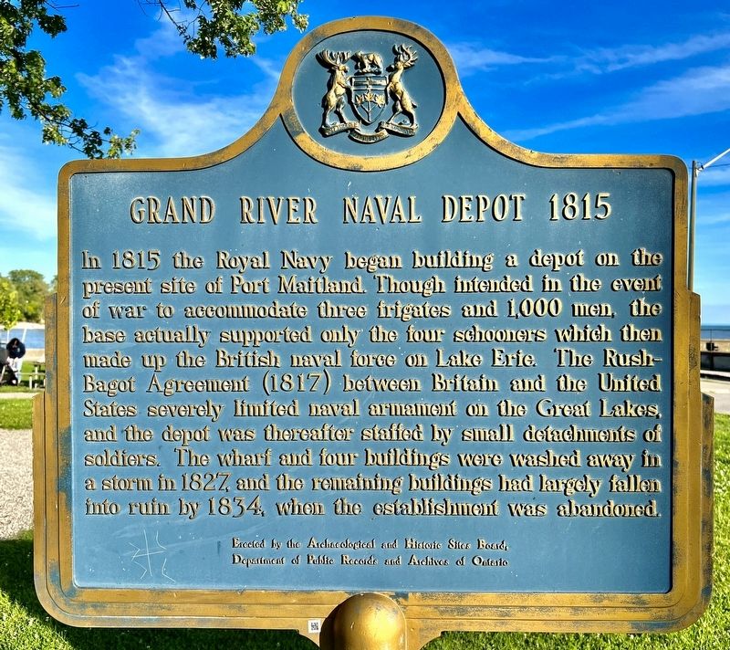
Grand River Naval Depot 1815
In 1815 the Royal Navy began building a depot on the present site of Port Maitland. Though intended in the event of war to accommodate three frigates and 1,000 men, the base actually supported only the four schooners which then made up the British naval force on Lake Erie. The Rush-Bagot Agreement (1817) between Britain and the United States severely limited naval armament on the Great Lakes, and the depot was thereafter staffed by small detachments of soldiers. The wharf and four buildings were washed away in a storm in 1827, and the remaining buildings had largely fallen into ruin by 1834, when the establishment was abandoned.
Erected by the Archaeological and Historic Sites Board,
Department of Public Records and Archives of Ontario
Erected by Ontario Archaeological and Historic Sites Board.
Topics and series. This historical marker is listed in these topic lists: War of 1812 • Waterways & Vessels. In addition, it is included in the Canada, Ontario Heritage Foundation series list. A significant historical year for this entry is 1815.
Location. 42° 51.447′ N, 79° 34.712′ W. Marker is in Port Maitland, Ontario, in Haldimand County. Marker is on Port Maitland Road, 0.1 kilometers south of Dover Street, on the left when traveling south. The marker is in Esplanade Park. Touch for map. Marker is at or near this postal address: 937 Port Maitland Road, Port Maitland ON, Canada. Touch for directions.
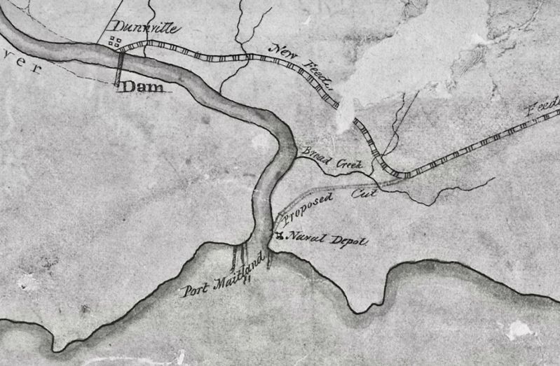
Also see . . . The Grand Dispatch - The Grand River Naval Depot. Late in the summer of 1815, a crew of officers and craftsmen, lent from the Kingston Yard, arrived at the mouth of the Grand, under the command of Captain William Bourchier, to search for the best site for the Naval Establishment and to begin construction. They decided to locate the depot behind the sand hills on the east side of the river. (Submitted on August 17, 2023, by Tim Boyd of Hamilton, Ontario.)
Additional keywords. Lake Erie Royal Navy
Credits. This page was last revised on August 18, 2023. It was originally submitted on August 17, 2023, by Tim Boyd of Hamilton, Ontario. This page has been viewed 54 times since then and 11 times this year. Photos: 1, 2, 3, 4. submitted on August 17, 2023, by Tim Boyd of Hamilton, Ontario. • Andrew Ruppenstein was the editor who published this page.


