Potter in Cheyenne County, Nebraska — The American Midwest (Upper Plains)
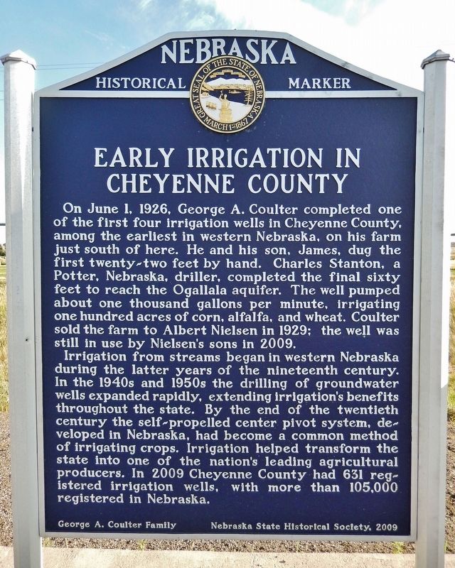
Early Irrigation in Cheyenne County
Photographed by Cosmos Mariner, August 12, 2023
1. Early Irrigation in Cheyenne County Marker
On June 1, 1926, George A. Coulter completed one of the first four irrigation wells in Cheyenne County, among the earliest in western Nebraska, on his farm just south of here. He and his son, James, dug the first twenty-two feet by hand. Charles Stanton, a Potter, Nebraska, driller, completed the final sixty feet to reach the Ogallala aquifer. The well pumped about one thousand gallons per minute, irrigating one hundred acres of corn, alfalfa, and wheat. Coulter sold the farm to Albert Nielsen in 1929; the well was still in use by Nielsen’s sons in 2009.
Irrigation from streams began in western Nebraska during the latter years of the nineteenth century. In the 1940s and 1950s the drilling of groundwater wells expanded rapidly, extending irrigation’s benefits throughout the state. By the end of the twentieth century the self-propelled center pivot system, developed in Nebraska, had become a common method of irrigating crops. Irrigation helped transform the state into one of the nation’s leading agricultural producers. In 2009 Cheyenne County had 631 registered irrigation wells, with more than 105,000 registered in Nebraska.
Erected 2009
this page online
Topics and series. This historical marker is listed in these topic lists: Agriculture • Industry & Commerce • Settlements & Settlers. In addition, it is included in the Nebraska State Historical Society series list. A significant historical date for this entry is June 1, 1926.
Location. 41° 12.844′ N, 103° 17.917′ W. Marker is in Potter, Nebraska, in Cheyenne County. It is at the intersection of Main Street (Lincoln Highway) (U.S. 30) and Road 79, on the right when traveling east on Main Street (Lincoln Highway). Marker is located in a pull-out on the south side of Main Street. Touch for map. Marker is in this post office area: Potter NE 69156, United States of America. Touch for directions.

Regionally, this marker is in the Nebraska Panhandle. It is also in the American Midwest, in the Corn Belt, on the prairies, on the Great Plains, and specifically on the High Plains. Globally, it is in North America, the Western Hemisphere, the Western World, and the Anglosphere. Historically, it finds itself in what was once the Louisiana Purchase.
Photographed by Cosmos Mariner, August 12, 2023
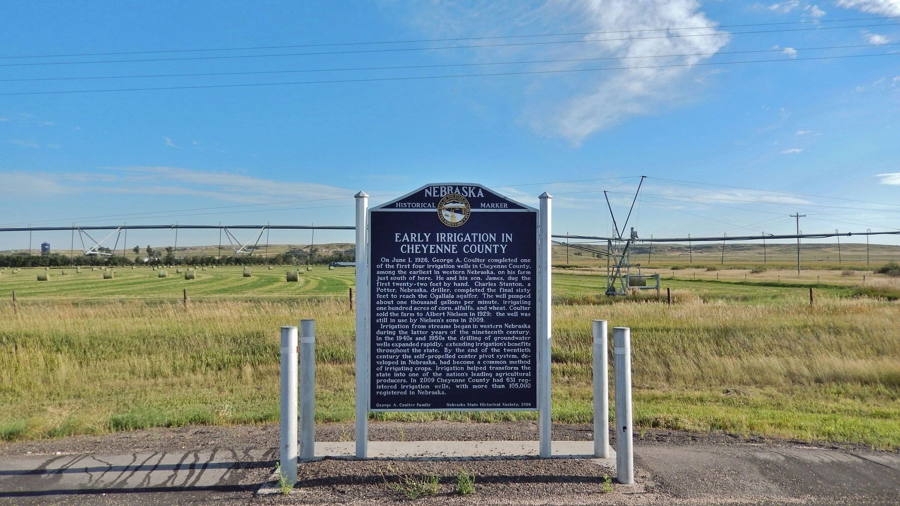
2. Early Irrigation in Cheyenne County Marker
A contemporary center pivot irrigation system is visible behind the marker.
Other nearby markers. At least 2 other markers are within 10 miles of this marker, measured as the crow flies: Potter and the Union Pacific Railroad (approx. one mile away); Sioux Army Depot (approx. 9.8 miles away).
Also see . . . Irrigation. Nebraska State Historical Society (Submitted on February 9, 2025, by Larry Gertner of New York, New York.)
Credits. This page was last revised on February 9, 2025. It was originally submitted on August 20, 2023, by Cosmos Mariner of Cape Canaveral, Florida. This page has been viewed 229 times since then and 39 times this year. Photos: 1, 2. submitted on August 20, 2023, by Cosmos Mariner of Cape Canaveral, Florida.
