
Jane Lew in Lewis County, West Virginia — The American South (Appalachia)
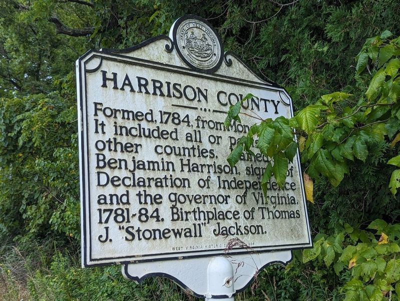
Harrison County
⎯⎯⎯
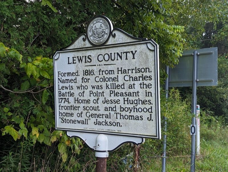
Lewis County
Photographed by Mike Wintermantel, August 21, 2023
1. Harrison County side of marker
Formed, 1784, from Monongalia. It included all or parts of 17 other counties. Named for Benjamin Harrison, signer of Declaration of Independence and the governor of Virginia, 1781-84. Birthplace of Thomas J. "Stonewall" Jackson.
Lewis County
Formed, 1816, from Harrison. Named for Colonel Charles Lewis who was killed at the Battle of Point Pleasant in 1774. Home of Jesse Hughes, frontier scout, and boyhood home of General Thomas J. "Stonewall" Jackson.
Erected 1964 by West Virginia Archives & History.
Topics. This historical marker is listed in this topic list: Political Subdivisions. A significant historical year for this entry is 1784.
Location. 39° 7.886′ N, 80° 25.241′ W. Marker is in Jane Lew, West Virginia, in Lewis County. It is on Good Hope Pike (U.S. 19) 0.2 miles south of Vens Run Road, on the right when traveling south. Touch for map. Marker is in this post office area: Jane Lew WV 26378, United States of America. Touch for directions.

Regionally, this marker is in North Central West Virginia. It is also in the American South, specifically in the Upper South, in Appalachia, and specifically
this page online
Other nearby markers. At least 8 other markers are within 4 miles of this marker, measured as the crow flies: First M.P. Church (approx. 1.6 miles away); Dedicated To All Veterans (approx. 1.6 miles away); Gen. Lightburn (approx. 1.7 miles away); Blacksmith Shop (approx. 3.4 miles away); Blaker's Mill (approx. 3.4 miles away); Blaker's Mill Pond (approx. 3.4 miles away); Jackson's Mill (approx. 3.4 miles away); Sawmill (approx. 3.4 miles away). Touch for a list and map of all markers in Jane Lew.
Other markers no longer nearby. Hacker's Creek / Jane Lew (was approx. 1.7 miles away but has been confirmed missing); a different marker also named Jackson’s Mill (was approx. 3.4 miles away but has been replaced with another marker now near it).
Photographed by Mike Wintermantel, August 21, 2023
2. Lewis County side of marker
Photographed by Mike Wintermantel, August 21, 2023
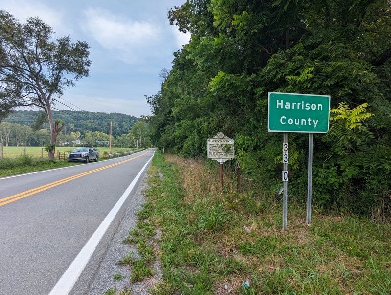
3. Harrison County Marker
Photographed by Mike Wintermantel, August 21, 2023
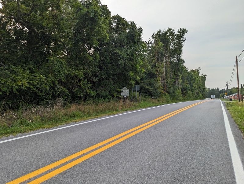
4. Lewis County Marker
Credits. This page was last revised on May 30, 2026. It was originally submitted on August 21, 2023, by Mike Wintermantel of Pittsburgh, Pennsylvania. This page has been viewed 246 times since then and 36 times this year. Photos: 1, 2, 3, 4. submitted on August 21, 2023, by Mike Wintermantel of Pittsburgh, Pennsylvania.
