Lemmon in Perkins County, South Dakota — The American Midwest (Upper Plains)
Quartzite Border Markers/Yellowstone Trail
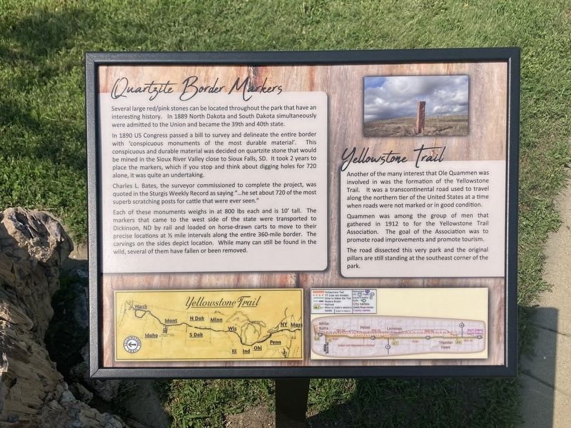
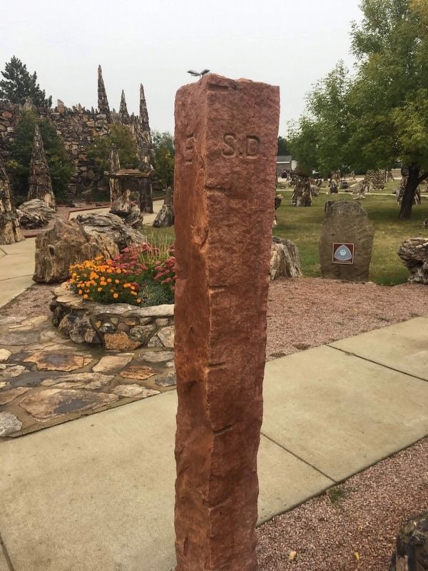
In 1890 US Congress passed a bill to survey and delineate the entire border with 'conspicuous monuments of the most durable material. This conspicuous and durable material was decided on quartzite stone that would be mined in the Sioux River Valley close to Sioux Falls, SD. It took 2 years to place the markers, which if you stop and think about digging holes for 720 alone, it was quite an undertaking.
Charles L. Bates, the surveyor commissioned to complete the project, was quoted in the Sturgis Weekly Record as saying " …he set about 720 of the most superb scratching posts for cattle that were ever seen."
Each of these monuments weighs in at 800 lbs each and is 10° tall. The markers that came to the west side of the state were transported to Dickinson, ND by rail and loaded on horse-drawn carts to move to their precise locations at ˝ mile intervals along the entire 360-mile border. The carvings on the sides depict location. While many can still be found in the wild, several of them have fallen or been removed.
Another of the many interest that Ole Quammen was involved in was the formation of the Yellowstone Trail. It was a transcontinental road used to travel along the northern tier of the United States at a time when roads were not marked or in good condition.
Quammen was among the group of men that gathered in 1912 to for the Yellowstone Trail Association. The goal of the Association was to promote road improvements and promote tourism.
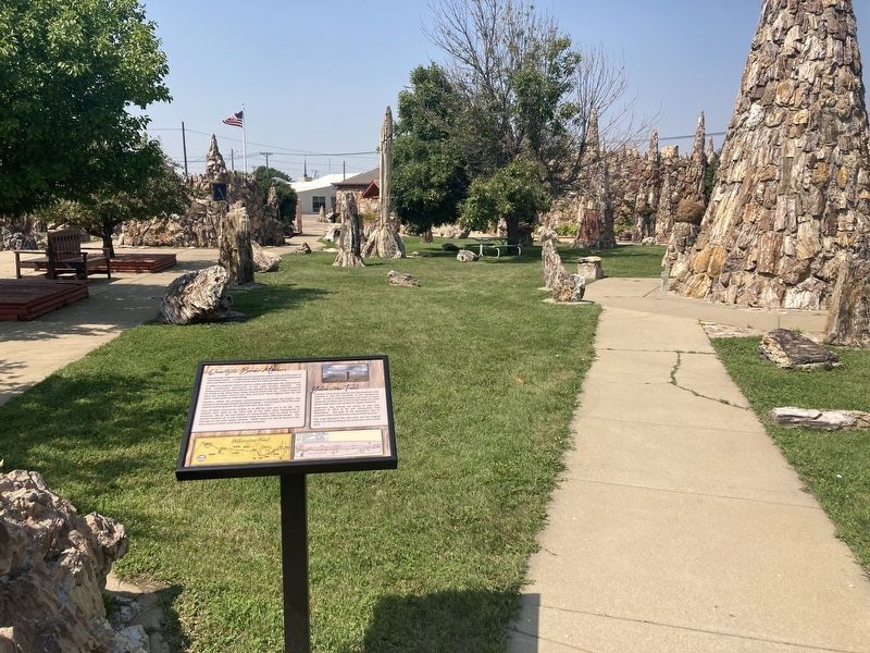
The road dissected this very park and the original pillars are still standing at the southeast corner of the park.
Erected 2023 by City of Lemmon.
Topics. This historical marker is listed in these topic lists: Political Subdivisions • Roads & Vehicles. A significant historical year for this entry is 1889.
Location. 45° 56.361′ N, 102° 9.51′ W. Marker is in Lemmon, South Dakota, in Perkins County. Marker can be reached from Main Avenue north of Sixth Street East. Touch for map. Marker is at or near this postal address: 500 Main Avenue, Lemmon SD 57638, United States of America. Touch for directions.
Other nearby markers. At least 8 other markers are within 13 miles of this marker, measured as the crow flies. Ole S. Quammen (within shouting distance of this marker); Interesting Structures (within shouting distance of this marker); Petrified Wood (within shouting distance of this marker); Ole Quammen (within shouting distance of this marker); The Museum/The Restoration (within shouting distance of this marker); Shadehill Dam & Reservoir (approx. 13.1 miles away); Hugh Glass (approx. 13.1 miles away); Seim, South Dakota (approx. 13.1 miles away). Touch for a list and map of all markers in Lemmon.
Credits. This page was last revised on August 22, 2023. It was originally submitted on August 21, 2023, by Connor Olson of Kewaskum, Wisconsin. This page has been viewed 65 times since then and 14 times this year. Photos: 1, 2, 3. submitted on August 21, 2023, by Connor Olson of Kewaskum, Wisconsin. • Andrew Ruppenstein was the editor who published this page.


