Basalt in Bingham County, Idaho — The American West (Mountains)
Cedar Point - Basalt
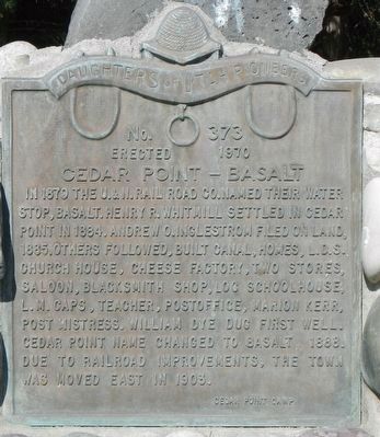
Photographed by Barry Swackhamer, August 11, 2019
1. Cedar Point - Basalt Marker
Erected 1970 by Daughters of Utah Pioneers, Cedar Point Camp. (Marker Number 373.)
Topics and series. This historical marker is listed in these topic lists: Railroads & Streetcars • Settlements & Settlers. In addition, it is included in the Daughters of Utah Pioneers series list. A significant historical year for this entry is 1879.
Location. 43° 18.89′ N, 112° 9.9′ W. Marker is in Basalt, Idaho, in Bingham County. It is on 675 East Street near 825 North, on the left when traveling north. Touch for map. Marker is at or near this postal address: 824 675 East Street, Basalt ID 83218, United States of America. Touch for directions.

Regionally, this
this page online
Other nearby markers. At least 8 other markers are within 4 miles of this marker, measured as the crow flies: Pioneer Cabin (approx. 3.9 miles away); Alridge School (approx. 3.9 miles away); General Store (approx. 3.9 miles away); Covered Wagon (approx. 4 miles away); The Barn (approx. 4 miles away); Pioneer School Bus Replica (approx. 4 miles away); Sheepcamp Wagon (approx. 4 miles away); Early Settlements (approx. 4.1 miles away).
More about this marker. The marker is opposite the L.D.S. church.
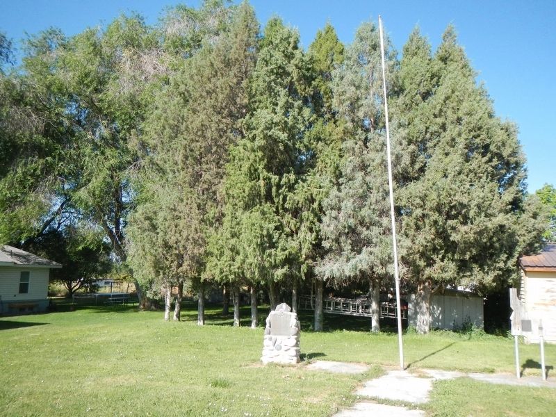
Photographed by Barry Swackhamer, August 11, 2019
2. Cedar Point - Basalt Marker
Credits. This page was last revised on August 27, 2023. It was originally submitted on October 1, 2019, by Barry Swackhamer of Brentwood, California. This page has been viewed 820 times since then and 64 times this year. Last updated on August 22, 2023, by Carl Gordon Moore Jr. of North East, Maryland. Photos: 1, 2. submitted on October 1, 2019, by Barry Swackhamer of Brentwood, California. • J. Makali Bruton was the editor who published this page.
