National Museum of Transportation in Kirkwood in St. Louis County, Missouri — The American Midwest (Upper Plains)
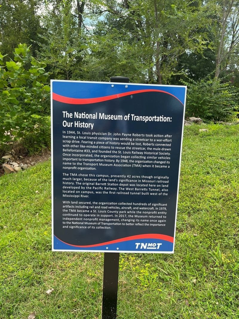
The National Museum of Transportation: Our History
Photographed by Thomas Smith, August 20, 2023
1. The National Museum of Transportation: Our History Marker
In 1944, St. Louis physician Dr. John Payne Roberts took action after learning a local transit company was sending a streetcar to a war-effort scrap drive. Fearing a piece of history would be lost, Roberts connected with other like-minded citizens to rescue the streetcar, the mule-drawn Bellefontaine #33 , and founded the St. Louis Railway Historical Society. Once incorporated, the organization began collecting similar vehicles important to transportation history. By 1948, the organization changed its name to the Transport Museum Association (TMA) when it became a nonprofit organization.
The TMA chose this campus, presently 42 acres though originally much larger, because of the land's significance in Missouri railroad history. The original Barrett Station depot was located here on land developed by the Pacific Railway. The West Barretts Tunnel, also located on campus, was the first railroad tunnel built west of the Mississippi River.
With land secured, the organization collected hundreds of significant artifacts including rail and road vehicles, aircraft, and watercraft. In 1979, the TMA became a St. Louis County
this page online
Erected by National Museum of Transportation.
Topics. This historical marker is listed in these topic lists: Charity & Public Work • Education • Railroads & Streetcars • Roads & Vehicles. A significant historical year for this entry is 1944.
Location. 38° 34.344′ N, 90° 27.786′ W. Marker is in Kirkwood, Missouri, in St. Louis County. It is in National Museum of Transportation. It can be reached from Barrett Station Road half a mile south of Dougherty Ferry Rd, on the right when traveling east. Touch for map. Marker is at or near this postal address: 2933 Barrett Station Road, Saint Louis MO 63122, United States of America. Touch for directions.

Regionally, this marker is in Greater St. Louis. It is also in the American Midwest, in the Lewis & Clark Corridor, in the Corn Belt, and in the Great River Road Region. Globally, it is in North America,
Photographed by Thomas Smith, August 20, 2023
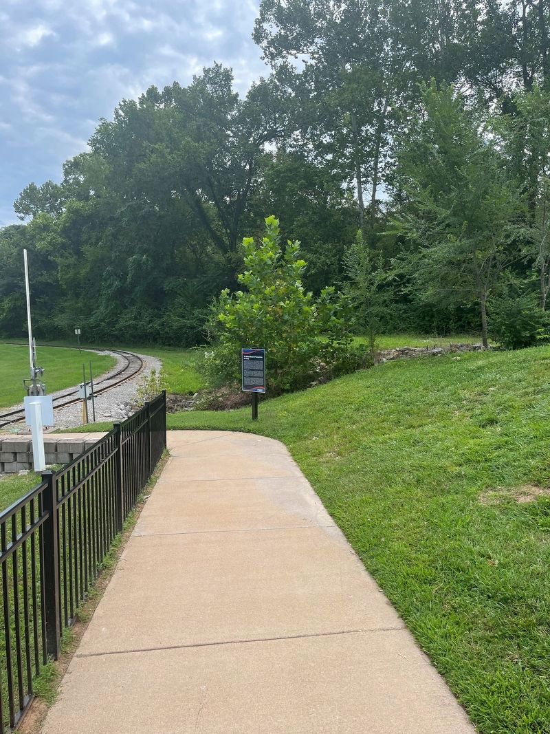
2. The National Museum of Transportation: Our History Marker
Other nearby markers. At least 8 other markers are within walking distance of this marker: Working on the Railroad: The Train Crew (within shouting distance of this marker); Who Is Owney The Dog? (within shouting distance of this marker); Record Breakers (within shouting distance of this marker); St. Joe Mining Corporation Ore Train #5441 (within shouting distance of this marker); St. Joe Minerals Corporation Shovel (within shouting distance of this marker); Museum of Transportation - A Layout of the Land (within shouting distance of this marker); Panama Canal #662 (within shouting distance of this marker); First Through Train Over the Wabash (within shouting distance of this marker). Touch for a list and map of all markers in Kirkwood.
More about this marker. National Museum of Transportation
Credits. This page was last revised on July 19, 2026. It was originally submitted on August 22, 2023, by Thomas Smith of Waterloo, Ill. This page has been viewed 851 times since then and 140 times this year. Last updated on July 19, 2026, by Garrett Koch of Saint Louis, Missouri. Photos: 1, 2. submitted on August 22, 2023, by Thomas Smith of Waterloo, Ill. • Devry Becker Jones was the editor who published this page.
