Near Natural Bridge in Rockbridge County, Virginia — The American South (Mid-Atlantic)
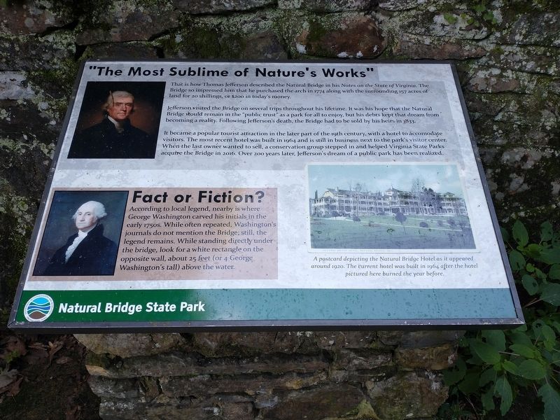
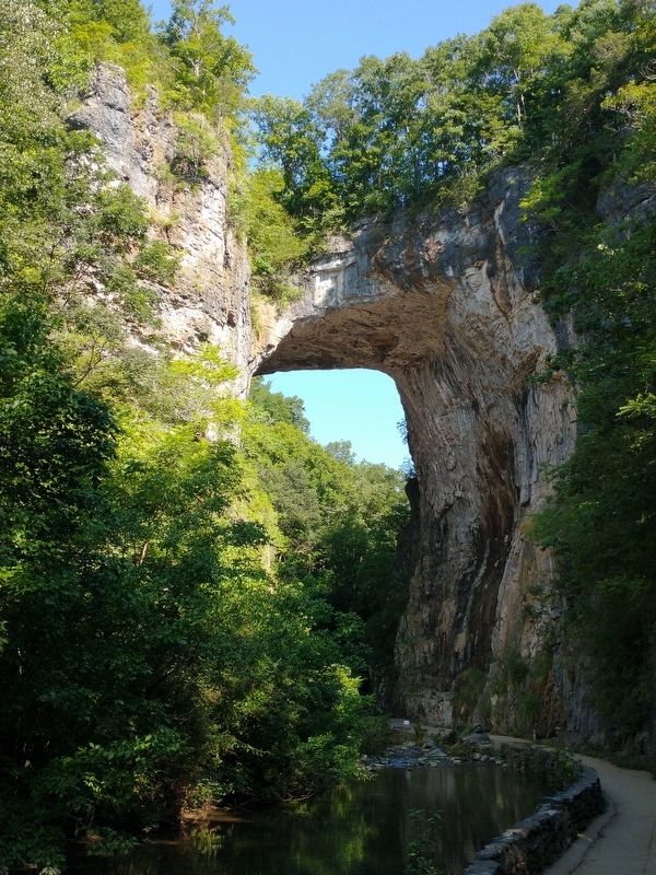
“The Most Sublime of Nature’s Works”
— Natural Bridge State Park —
Jefferson visited the Bridge on several trips throughout his lifetime. It was his hope that the Natural Bridge would remain in the “public trust” as a park for all to enjoy, but his debts kept that dream from becoming a reality. Following Jefferson’s death, the Bridge had to be sold by his heirs in 1833.
It became a popular tourist attraction in the later part of the 19th century, with a hotel to accommodate visitors. The most recent hotel was built in 1964 and is still in business next to the park’s visitor center. When the last owner wanted to sell, a conservation group stepped in and helped Virginia State Parks acquire the Bridge in 2016. Over 200 years later, Jefferson’s dream of a public park has been realized.
(sidebar)
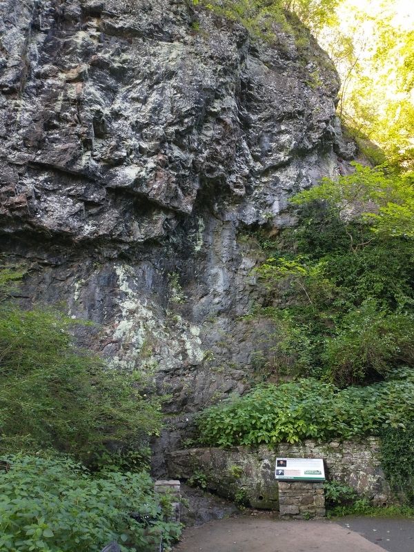
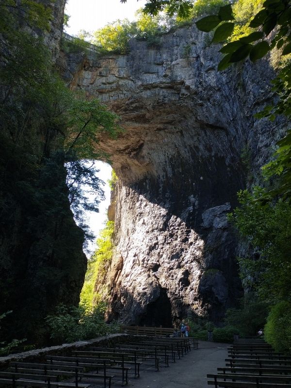
Fact of Fiction? According to local legend, nearby is where George Washing carved his initials in the early 1750s. While often repeated, Washington’s journals do not mention the Bridge; still, the legend remains. While standing directly under the bridge, look for a white rectangle on the opposite wall, about 25 feet (or 4 George Washington’s tall) above the water.
(caption) A postcard depicting the Natural Bridge Hotel as it appeared around 1920. The current hotel was built in 1964 after the hotel pictured here burned the year before.
Erected by Virginia State Parks, Department of Conservation and Recreation.
Topics. This historical marker is listed in these topic lists: Bridges & Viaducts • Parks & Recreational Areas. A significant historical year for this entry is 1774.
Location. 37° 37.839′ N, 79° 32.882′ W. Marker is near Natural Bridge, Virginia, in Rockbridge County. Marker can be reached from the intersection of South Lee Highway (U.S. 11) and Wert Faulkner Highway (Virginia Route 130), on the right when traveling north. Marker located along the Cedar Creek Trail in Natural Bridge State Park. Touch for map. Marker is at or near this postal address: 6477 S Lee Hwy, Natural Bridge VA 24578, United States of America. Touch for directions.
Other nearby markers. At least 8 other markers are within walking distance of this marker. Monacan Village (within shouting distance of this marker); Saltpetre Cave (about 400 feet away, measured in a direct line); A Cave that Armed American Soldiers (about 500 feet away); Lost River (about 600 feet away); George Washington (approx. 0.2 miles away); Lost and Found (approx. ¼ mile away); Natural Bridge (approx. 0.3 miles away); a different marker also named Natural Bridge (approx. 0.3 miles away). Touch for a list and map of all markers in Natural Bridge.
Also see . . . Natural Bridge State Park. Virginia Department of Conservation & Recreation. (Submitted on August 24, 2023.)
Credits. This page was last revised on August 24, 2023. It was originally submitted on August 23, 2023, by Tom Bosse of Jefferson City, Tennessee. This page has been viewed 82 times since then and 29 times this year. Photos: 1, 2, 3, 4. submitted on August 23, 2023, by Tom Bosse of Jefferson City, Tennessee. • Bernard Fisher was the editor who published this page.


