
Chesterfield in Madison County, Indiana — The American Midwest (Great Lakes)
The Chapel in the Woods
| — | Camp Chesterfield | — |
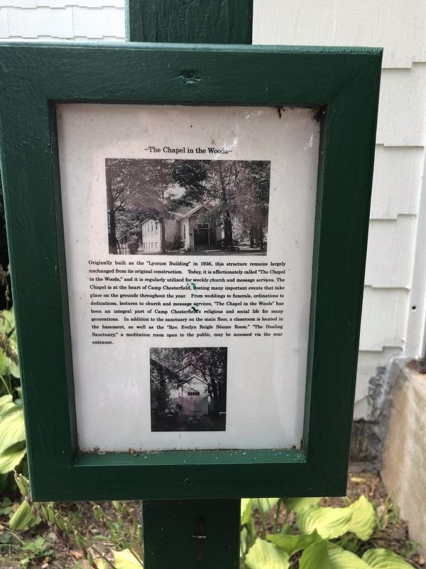
Photographed by Duane and Tracy Marsteller, August 5, 2023
1. The Chapel in the Woods Marker
Topics. This historical marker is listed in this topic list: Religion & Religious Structures. A significant historical year for this entry is 1936.
Location. 40° 6.979′ N, 85° 35.833′ W. Marker is in Chesterfield, Indiana, in Madison County. It can be reached from Grandview Drive north
this page online

Regionally, this marker is in Central Indiana and specifically in Greater Indianapolis. It is also in the American Midwest and in the Corn Belt. Globally, it is in North America, the Western Hemisphere, the Western World, and the Anglosphere. Historically, it finds itself in what was once the territory of the Mississippian Culture and also the Northwest Territory.
Other nearby markers. At least 8 other markers are within walking distance of this marker: The Old Wooden Dining Hall (within shouting distance of this marker); The Garden of Prayer and Sentinel Angel (within shouting distance of this marker); Trail of Religion (within shouting distance of this marker); Founders Rock (within shouting distance of this marker); The Sunflower – A Symbol of Spiritualism (about 300 feet away, measured in a direct line); The Western Hotel (about 300 feet away); The Sunflower Hotel (about 300 feet away); The Toad Stools (about 300 feet away).
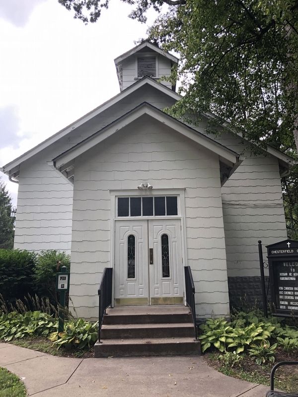
Photographed by Duane and Tracy Marsteller, August 5, 2023
2. The Chapel in the Woods Marker
Credits. This page was last revised on August 24, 2023. It was originally submitted on August 24, 2023, by Duane and Tracy Marsteller of Murfreesboro, Tennessee. This page has been viewed 393 times since then and 33 times this year. Photos: 1, 2. submitted on August 24, 2023, by Duane and Tracy Marsteller of Murfreesboro, Tennessee.
