Ferndale in Humboldt County, California — The American West (Pacific Coastal)
Ferndale Memorial Day Parade
Photographed by Douglass Halvorsen, August 20, 2023
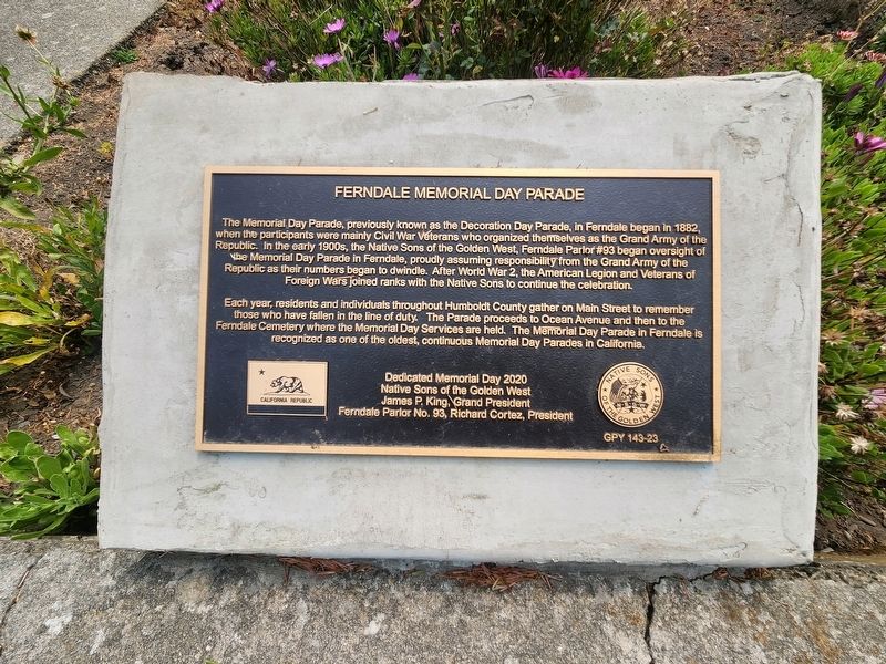
1. Ferndale Memorial Day Parade Marker
Each year, residents and individuals throughout Humbolt County gather on Main Street to remember those who have fallen in the line of duty. The Parade proceeds to Ocean Avenue and then to the Ferndale Cemetery where the Memorial Day Services are held. The Memorial Day Parade in Ferndale is recognized as one of the oldest, continuous Memorial Day Parades in California.
Erected 2020 by Native Sons of the Golden West. (Marker Number GPY-23.)
Topics and series. This historical marker is listed in these topic lists: Fraternal or Sororal Organizations
this page online
Location. 40° 34.459′ N, 124° 15.82′ W. Marker is in Ferndale, California, in Humboldt County. It can be reached from Ocean Avenue. Touch for map. Marker is in this post office area: Ferndale CA 95536, United States of America. Touch for directions.

Regionally, this marker is in the North Coast, specifically on the Coast Ranges, and in the Klamath Mountains. It is also on the American Pacific Coast and in the Pacific Northwest. Globally, it is in North America, on the Ring of Fire, on the Pacific Rim, in the Western Hemisphere, in the Western World, and in the Anglosphere. Historically, it finds itself in what was once New Spain and also Mexico’s Alta California.
Other nearby markers. At least 8 other markers are within walking distance of this marker: Ferndale Cemetery (here, next to this marker); A. Berding House (about 400 feet away, measured in a direct line); Danish Hall (about 400 feet away); a different marker also named The Danish Hall (about 400
Photographed by Douglass Halvorsen, August 20, 2023
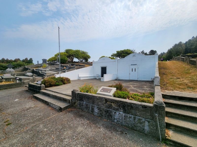
2. Ferndale Memorial Day Parade Marker
Photographed by Douglass Halvorsen, August 20, 2023
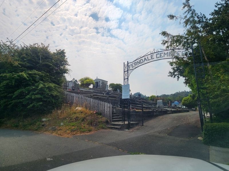
3. Ferndale Cemetery entrance
Credits. This page was last revised on January 28, 2026. It was originally submitted on August 24, 2023, by Douglass Halvorsen of Klamath Falls, Oregon. This page has been viewed 261 times since then and 19 times this year. Photos: 1, 2, 3. submitted on August 24, 2023, by Douglass Halvorsen of Klamath Falls, Oregon. • Andrew Ruppenstein was the editor who published this page.
