Zionsville in Boone County, Indiana — The American Midwest (Great Lakes)
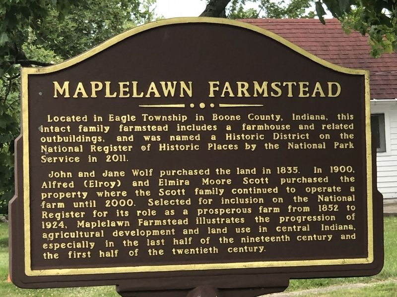
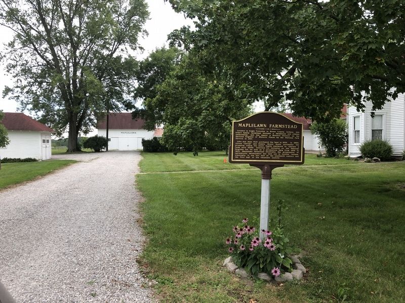
Maplelawn Farmstead
John and Jane Wolf purchased the land in 1835. In 1900, Alfred (Elroy) and Elmira Moore Scott purchased the property where the Scott family continued to operate a farm until 2000. Selected for inclusion on the National Register for its role as a prosperous farm from 1852 to 1924, Maplelawn Farmstead illustrates the progression of agricultural development and land use in central Indiana, especially in the last half of the nineteenth century and the first half of the twentieth century.
Topics and series. This historical marker is listed in this topic list: Agriculture. In addition, it is included in the National Register of Historic Places series list. A significant historical year for this entry is 1835.
Location. 39° 57.871′ N, 86° 17.251′ W. Marker is in Zionsville, Indiana, in Boone County. Marker is on Whitestown Road east of County Road 950 East, on the right when traveling east. Touch for map. Marker is at or near this postal address: 9575 Whitestown Rd, Zionsville IN 46077, United States of America. Touch for directions.
Other nearby markers. At least 8 other markers are within 4 miles of this marker, measured as the crow flies. Lincoln's Stop in Zionsville, Indiana (approx. 1.6 miles away); Town of Zionsville Founded in 1852 (approx. 1.6 miles away); Site of the Old Zionsville Inn (approx. 1.7 miles away); Patrick H. Sullivan (approx. 1.7 miles away); Original Plat Historical Block No. 8 (approx. 1.8 miles away); Michigan Road (approx. 2 miles away); Albert Smith White (approx. 3.8 miles away); Big Four Trail (approx. 3.8 miles away). Touch for a list and map of all markers in Zionsville.
Also see . . .
1. Maplelawn Farmstead (PDF). National Register nomination for the farmstead. (National Archives) (Submitted on August 26, 2023, by Duane and Tracy Marsteller of Murfreesboro, Tennessee.)
2. History. Timeline, vintage photographs and link to 10-part series on the farm's history. (Maplelawn Farmstead) (Submitted on August 26, 2023, by Duane and Tracy Marsteller of Murfreesboro, Tennessee.)
Credits. This page was last revised on August 26, 2023. It was originally submitted on August 26, 2023, by Duane and Tracy Marsteller of Murfreesboro, Tennessee. This page has been viewed 56 times since then and 12 times this year. Photos: 1, 2. submitted on August 26, 2023, by Duane and Tracy Marsteller of Murfreesboro, Tennessee.

