Jamestown in Berkeley County, South Carolina — The American South (South Atlantic)
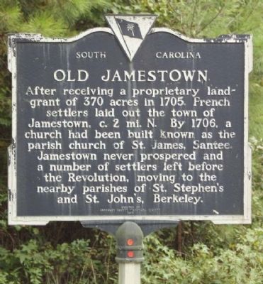
Old Jamestown
Erected 1985 by Berkeley County Historical Society. (Marker Number 8-17.)
Topics. This historical marker is listed in these topic lists: Colonial Era • Settlements & Settlers. A significant historical year for this entry is 1705.
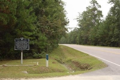
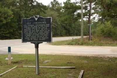
Location. 33° 16.172′ N, 79° 40.12′ W. Marker is in Jamestown, South Carolina, in Berkeley County. Marker is at the intersection of French Santee Road (State Highway 45) and Mt. Moriah Avenue, on the left when traveling south on French Santee Road. Touch for map. Marker is in this post office area: Jamestown SC 29453, United States of America. Touch for directions.
Other nearby markers. At least 8 other markers are within 14 miles of this marker, measured as the crow flies. Jamestown Veterans Monument (approx. 1.7 miles away); Berkeley County (approx. 1.9 miles away); Battle of Lenud's Ferry (approx. 2.1 miles away); Suttons Methodist Church (approx. 11.1 miles away); Silk Hope Plantation (approx. 13.3 miles away); St. James Santee Parish Church (approx. 13.6 miles away); Oak Grove Methodist Church (approx. 13.8 miles away); Georgetown County National Guard Memorial (approx. 13.9 miles away). Touch for a list and map of all markers in Jamestown.
Credits. This page was last revised on June 16, 2016. It was originally submitted on October 10, 2009, by Mike Stroud of Bluffton, South Carolina. This page has been viewed 2,582 times since then and 202 times this year. Photos: 1, 2, 3. submitted on October 10, 2009, by Mike Stroud of Bluffton, South Carolina. • Craig Swain was the editor who published this page.


