Center in Oliver County, North Dakota — The American Midwest (Upper Plains)
Veterans Memorial

Photographed by Cosmos Mariner, August 26, 2023
1. Veterans Memorial (east side)
[east side]
of all Men and Women
who served in the
Armed Forces of the
United States of America
to preserve our freedom
and Auxiliary
Miller-Linn Post 90
Oliver County
Center, N.D.
In God We Trust
Erected 2000 by American Legion and Auxiliary Miller-Linn Post 90.
Topics. This memorial is listed in this topic list: Patriots & Patriotism.
Location. 47° 6.89′ N, 101° 17.991′ W. Memorial is in Center, North Dakota, in Oliver County. It is at the intersection of 38th Avenue Southwest (Center Avenue) (State Highway 48) and Bridge Avenue, on the right when traveling south on 38th Avenue Southwest (Center Avenue). Memorial is located near the southeast corner of the Oliver County Courthouse grounds. Touch for map. Memorial is at or near this postal address: 115 Main Street, Center ND 58530, United States of America. Touch for directions.

Regionally, this memorial is in North Dakota’s Standing Rock Sioux Tribe, on the Missouri Plateau, and in Greater Bismarck Area. It is also in the American Lewis & Clark Corridor, on the prairies,
this page online
Other nearby markers. At least 8 other markers are within 10 miles of this marker, measured as the crow flies: In Memory of Hazel Miner (within shouting distance of this marker); Trading Post Plan (approx. 9½ miles away); Two Bourgeois or Head Traders of the Fort (approx. 9½ miles away); Geophysics and Archaeology (approx. 9½ miles away); The Blockhouses (approx. 9½ miles away); Pierre Garreau's Lodge (approx. 9½ miles away); Fort Clark (circa 1830-1860) (approx. 9½ miles away); The People (approx. 9½ miles away).

Photographed by Cosmos Mariner, August 26, 2023
2. Veterans Memorial (west side)

Photographed by Cosmos Mariner, August 26, 2023
3. Veterans Memorial (east side)

Photographed by Cosmos Mariner, August 26, 2023
4. Veterans Memorial (west side)
Photographed by Cosmos Mariner, August 26, 2023
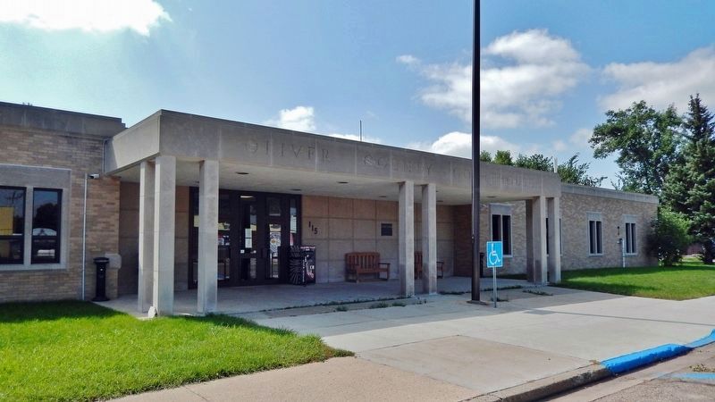
5. Oliver County Courthouse
Credits. This page was last revised on August 26, 2023. It was originally submitted on August 26, 2023, by Cosmos Mariner of Cape Canaveral, Florida. This page has been viewed 118 times since then and 9 times this year. Photos: 1, 2, 3, 4, 5. submitted on August 26, 2023, by Cosmos Mariner of Cape Canaveral, Florida.
