Gerrand in Bonneville County, Idaho — The American West (Mountains)
Taylor Settlement

Photographed by Barry Swackhamer, August 11, 2019
1. Taylor Settlement Marker
By 1886 a log structure was erected for public use on land donated by John Priest. The first teacher was John Henry Evans, the church recorder. A second multi-purpose structure, a two-room, 39 by 60 foot white frame building was built in the mid 1890s. This building burned during the winter of 1904, taking with it all church and school records. In 1905 a two-room brick building was completed. Church, school,
this page online
To water this arid, sagebrush-covered land, the pioneers had to dig a 10-mile-long irrigation canal from Eagle Rock, located to the north. Hay and grain, their first crops, were grown in 1890.
The beautiful Taylor Cemetery was established in April 1887 when Abiah Wadsworth Jr. and William Arave purchased 5 acres of land for $65 to bury Ellen, the infant daughter of Sarah and Abiah Wadsworth, Jr.
Erected 2000 by Daughters of Utah Pioneers, Wolverine Camp. (Marker Number 527.)
Topics and series. This historical marker is listed in these topic lists: Religion & Religious Structures • Settlements & Settlers. In addition, it is included in the Daughters of Utah Pioneers series list.
Location. 43° 22.967′ N, 112° 2.05′ W. Marker is in Gerrand, Idaho, in Bonneville County. It is at the intersection of South 1st East and West 127th South, on the right when traveling south on South 1st East. Touch for map. Marker is in this post office area: Idaho Falls ID 83404, United States of America. Touch for directions.

Regionally,
Photographed by Barry Swackhamer, August 11, 2019
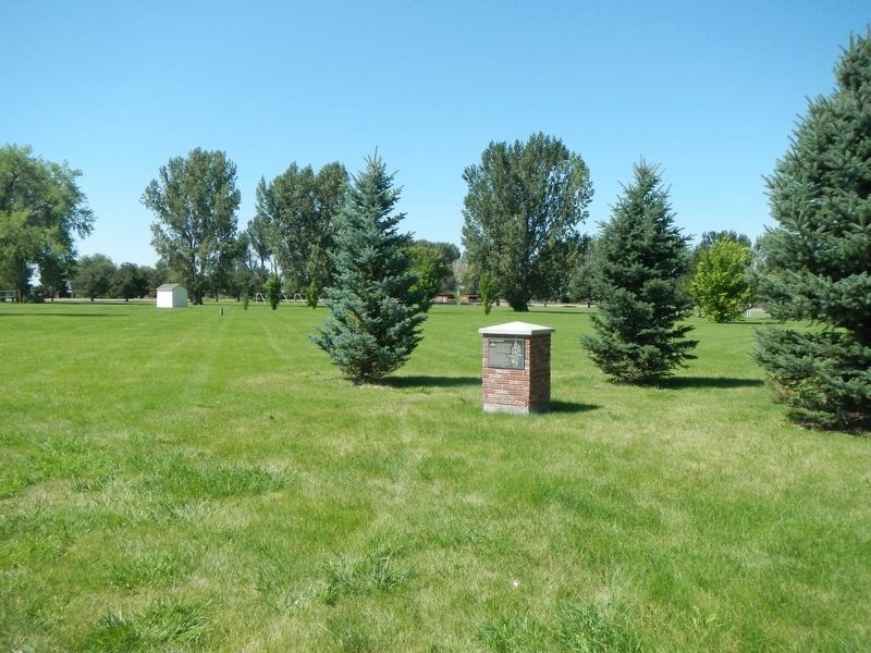
2. Taylor Settlement Marker
Other nearby markers. At least 8 other markers are within 7 miles of this marker, measured as the crow flies: Joseph Allen Taylor (1871-1945) & Chet Taylor (1893-1964) (approx. 2.6 miles away); Shelley Settlement (approx. 4.2 miles away); Early Settlements (approx. 5.7 miles away); The Barn (approx. 6.7 miles away); General Store (approx. 6.7 miles away); Pioneer School Bus Replica (approx. 6.7 miles away); Alridge School (approx. 6.7 miles away); Sheepcamp Wagon (approx. 6.7 miles away).
More about this marker. This marker is in Taylor Park.
Credits. This page was last revised on August 30, 2023. It was originally submitted on October 3, 2019, by Barry Swackhamer of Brentwood, California. This page has been viewed 944 times since then and 70 times this year. Last updated on August 27, 2023, by Carl Gordon Moore Jr. of North East, Maryland. Photos: 1, 2. submitted on October 3, 2019, by Barry Swackhamer of Brentwood, California. • J. Makali Bruton was the editor who published this page.
