Livingston in Park County, Montana — The American West (Mountains)
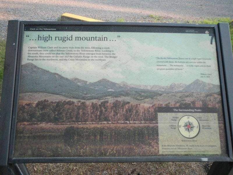
"...high rugid mountain..."
Clark on the Yellowstone
"The Roche (Yellowstone) passes out of a high rugid mountain covered with Snow, the bottoms are narrow with the mountains...The mountain...is rocky rugid and on them are great quantities of Snow." -- William Clark July 15, 1806
The Surrounding Peaks
(bottom right, compass points clockwise from north:)
Crazy Mountains; Absaroka Mountains; Yellowstone River; Gallatin Range; Bridger Range
In the Absaroka Mountains, Mt. Baldy looks down on Livingston, Montana and the Yellowstone River.
Erected by Lewis and Clark National Historic Trail.
Topics and series. This historical marker is listed in these topic lists: Exploration • Natural Features. In addition, it is included in the Lewis & Clark Expedition series list. A significant historical date for this entry is July 15, 1806.
Location. 45° 39.665′ N, 110° 33.846′ W. Marker is in Livingston, Montana, in Park County. Marker is on West Park Street near North Yellowstone Street, on the right when traveling west. The marker is located in Northern Pacific Depot Park. Touch for map. Marker is at or near this postal address: 323 West Park Street, Livingston MT 59047, United States of America. Touch for directions.
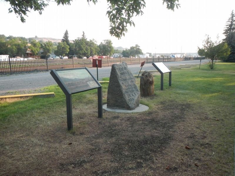
Other nearby markers. At least 8 other markers are within walking distance of this marker. The Lewis & Clark Expedition (here, next to this marker); First Lewis and Clark Trail Marker (a few steps from this marker); Livingston Westside Residential Historic District (within shouting distance of this marker); Murray Hotel (about 500 feet away, measured in a direct line); First National Bank / Masonic Temple (about 600 feet away); 315 West Callender (about 600 feet away); Hugh J. Miller Home (about 600 feet away); Pape Building (about 600 feet away). Touch for a list and map of all markers in Livingston.
Credits. This page was last revised on August 29, 2023. It was originally submitted on January 28, 2022, by Barry Swackhamer of Brentwood, California. This page has been viewed 100 times since then and 18 times this year. Last updated on August 27, 2023, by Carl Gordon Moore Jr. of North East, Maryland. Photos: 1, 2. submitted on January 28, 2022, by Barry Swackhamer of Brentwood, California. • J. Makali Bruton was the editor who published this page.

