
Bryant in Saline County, Arkansas — The American South (West South Central)
City of Bryant
125th Anniversary
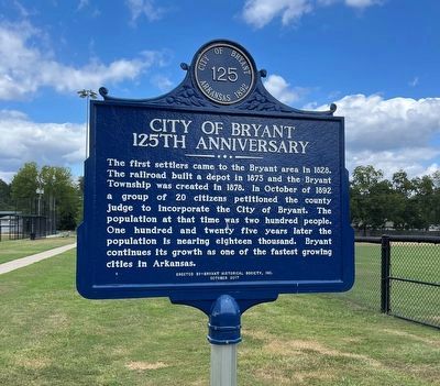
Photographed by Thomas Smith, August 27, 2023
1. City of Bryant Marker
Erected 2017 by Bryant Historical Society, Inc.
Topics. This historical marker is listed in this topic list: Settlements & Settlers. A significant historical month for this entry is October 1892.
Location. 34° 35.562′ N, 92° 29.582′ W. Marker is in Bryant, Arkansas, in Saline County. It is on Southwest 3rd Street near S. Pine Street, on the right when traveling south. By Ashley Park. Touch for map. Marker is in this post office area: Bryant AR 72022, United States of America. Touch for directions.

Regionally, this marker is in the Little Rock Metropolitan Area and in the Ouachita Mountains. It is also in the American South and specifically in the Upper South. Globally,
this page online
Other nearby markers. At least 8 other markers are within 5 miles of this marker, measured as the crow flies: Ashley Park (about 300 feet away, measured in a direct line); The Battle of Hurricane Creek (approx. 0.4 miles away); Bauxite (approx. 2.8 miles away); Bauxite, Arkansas (approx. 2.8 miles away); The Geographical Center of Arkansas (approx. 3.1 miles away); George M. Holt / William Ayers Crawford (approx. 4.6 miles away); The Salem Campground (approx. 4.6 miles away); The Niloak Pottery (approx. 5 miles away). Touch for a list and map of all markers in Bryant.
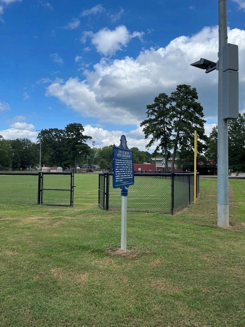
Photographed by Thomas Smith, August 27, 2023
2. City of Bryant Marker
Credits. This page was last revised on November 24, 2024. It was originally submitted on August 27, 2023, by Thomas Smith of Waterloo, Ill. This page has been viewed 741 times since then and 70 times this year. Photos: 1, 2. submitted on August 27, 2023, by Thomas Smith of Waterloo, Ill. • Andrew Ruppenstein was the editor who published this page.
