Chattahoochee in Gadsden County, Florida — The American South (South Atlantic)
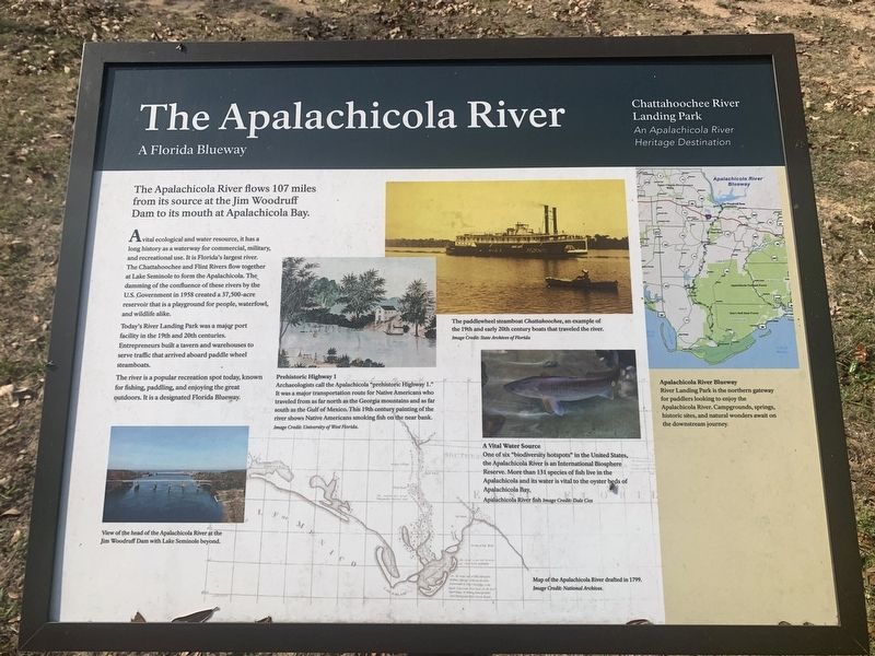
The Apalachicola River - A Florida Blueway
A Florida Blueway
A vital ecological and water resource, it has a long history as a waterway for commercial, military, and recreational use. It is Florida's largest river. The Chattahoochee and Flint Rivers flow together at Lake Seminole to form the Apalachicola. The damming of the confluence of these rivers by the U.S. Government in 1958 created a 37,500-acre reservoir that is a playground for people, waterfowl, and wildlife alike.
Today's River Landing Park was a major port facility in the 19th and 20th centuries. Entrepreneurs built a tavern and warehouses to serve traffic that arrived aboard paddle wheel steamboats.
The river is a popular recreation spot today, known for fishing, paddling, and enjoying the great outdoors. It is a designated Florida Blueway.
Prehistoric Highway
Archaeologists call the Apalachicola "prehistoric Highway 1." It was a major transportation route for Native Americans who traveled from as far north as the Georgia mountains and as far south as the Gulf of Mexico. This 19th century painting of the river shows Native Americans smoking fish on the near bank.
The paddlewheel steamboat Chattahoochee, an example of the 19th and early 20th century boats that traveled the river.
A Vital Water Source
One of six "biodiversity hotspots" in the United States, the Apalachicola River is an International Biosphere Reserve. More that 131 species of fish live in the Apalachicola and its water is vital to the oyster beds of Apalachicola Bay.
Apalachicola River Blueway
River Landing Park is the northern gateway for paddlers looking to enjoy the Apalachicola River. Campgrounds, springs, historic sites, and natural wonders await on the downstream journey.
Erected by Chattahoochee River Landing Park - An Apalachicola River Heritage Destination.
Topics. This historical marker is listed in these topic lists: Industry & Commerce • Waterways & Vessels.
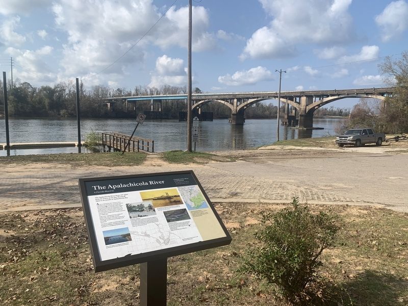
Location. 30° 42.04′ N, 84° 51.429′ W. Marker is in Chattahoochee, Florida, in Gadsden County. Marker is on River Landing Road, 0.4 miles south of U.S. 90, on the right when traveling south. Located near the end of River Landing Road in the Chattahoochee River Landing Park at the boat ramp. Touch for map. Marker is in this post office area: Chattahoochee FL 32324, United States of America. Touch for directions.
Other nearby markers. At least 8 other markers are within walking distance of this marker. Chattahoochee Landing Mound Group (within shouting distance of this marker); Nicolls' Outpost (within shouting distance of this marker); The Scott Battle of 1817 (within shouting distance of this marker); a different marker also named Nicoll's Outpost (within shouting distance of this marker); a different marker also named The Chattahoochee Landing Mound Group (within shouting distance of this marker); The Scott Massacre (within shouting distance of this marker); The First Seminole War (within shouting distance of this marker); Florida's Inland Graveyard of Ships (within shouting distance of this marker). Touch for a list and map of all markers in Chattahoochee.
Credits. This page was last revised on August 27, 2023. It was originally submitted on August 27, 2023, by Tim Fillmon of Webster, Florida. This page has been viewed 61 times since then and 18 times this year. Photos: 1, 2. submitted on August 27, 2023, by Tim Fillmon of Webster, Florida.

