Pearl-Meigs-Monroe in Rochester in Monroe County, New York — The American Northeast (Mid-Atlantic)
Lock 66 Neighborhood
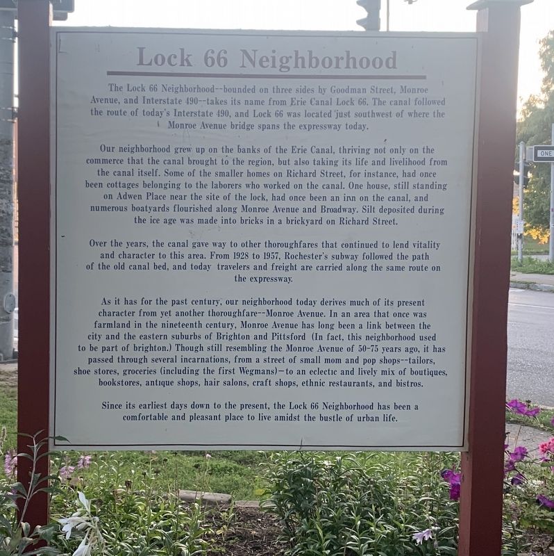
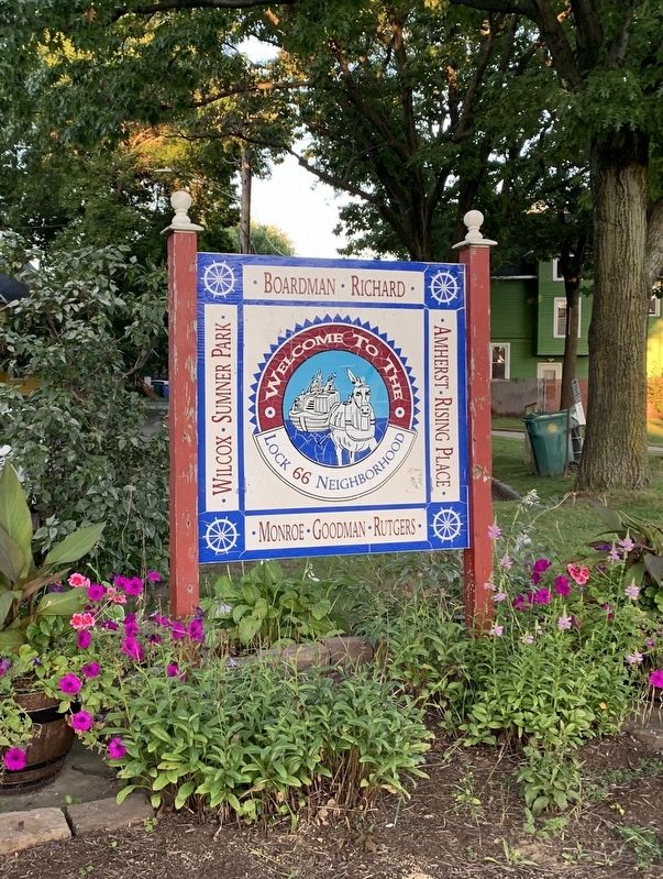
The Lock 66 Neighborhood--bounded on three sides by Goodman Street, Monroe Avenue, and Interstate 490--takes its name from Erie Canal Lock 66. The canal followed the route of today's Interstate 490, and Lock 66 was located just southwest of where the Monroe Avenue bridge spans the expressway today.
Our neighborhood grew up on the banks of the Erie Canal, thriving not only on the commerce that the canal brought to the region, but also taking its life and livelihood from the canal itself. Some of the smaller homes on Richard Street, for instance, had once been cottages belonging to the laborers who worked on the canal. One house, still standing on Adwen Place near the site of the lock, had once been an inn on the canal, and numerous boatyards flourished along Monroe Avenue and Broadway. Silt deposited during the ice age was made into bricks in a brickyard on Richard Street.
Over the years, the canal gave way to other thoroughfares that continued to lend vitality and character to this area. From 1928 to 1957, Rochester's subway followed the path of the old canal bed, and today travelers and freight are carried along the same route on the expressway.
As it has for the past century, our neighborhood today derives much of its present character from yet another thoroughfare - Monroe Avenue. In an area that once was farmland in the nineteenth century, Monroe Avenue has long been a link between the city and the eastern suburbs of Brighton and Pittsford (In fact, this neighborhood used. to be part of Brighton.) Though still resembling the Monroe Avenue of 50-75 years ago, it has passed through several incarnations, from a street of small mom and pop shops--tailors, shoe stores, groceries (including the first Wegmans)-to an eclectic and lively mix of boutiques, bookstores, antique shops, hair salons, craft shops, ethnic restaurants, and bistros.
Since its earliest days down to the present, the Lock 66 Neighborhood has been a comfortable and pleasant place to live amidst the bustle of urban life.
Topics. This historical marker is listed in these topic lists: Industry & Commerce • Settlements & Settlers • Waterways & Vessels. A significant historical year for this entry is 1928.
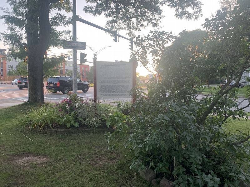
Location. 43° 8.538′ N, 77° 35.666′ W. Marker is in Rochester, New York, in Monroe County. It is in Pearl-Meigs-Monroe. Marker is at the intersection of Richard Street and South Goodman Street, on the right when traveling west on Richard Street. Touch for map. Marker is in this post office area: Rochester NY 14607, United States of America. Touch for directions.
Other nearby markers. At least 8 other markers are within walking distance of this marker. Douglass House (approx. half a mile away); Seward Seminary (approx. 0.6 miles away); Margaret Woodbury Strong (approx. 0.8 miles away); Frederick Douglass Home Site (approx. 0.8 miles away); Douglass Home (approx. 0.8 miles away); a different marker also named Douglass Home (approx. 0.8 miles away); Anna Murray Douglass (approx. 0.8 miles away); The Children's Pavilion (approx. 0.8 miles away). Touch for a list and map of all markers in Rochester.
Also see . . . Southeast Quadrant - Lock 66 (City of Rochester). (Submitted on August 27, 2023, by Steve Stoessel of Niskayuna, New York.)
Credits. This page was last revised on October 23, 2023. It was originally submitted on August 27, 2023, by Steve Stoessel of Niskayuna, New York. This page has been viewed 69 times since then and 33 times this year. Photos: 1, 2, 3. submitted on August 27, 2023, by Steve Stoessel of Niskayuna, New York. • Michael Herrick was the editor who published this page.


