Gennessee Township near Atwater in Kandiyohi County, Minnesota — The American Midwest (Upper Plains)
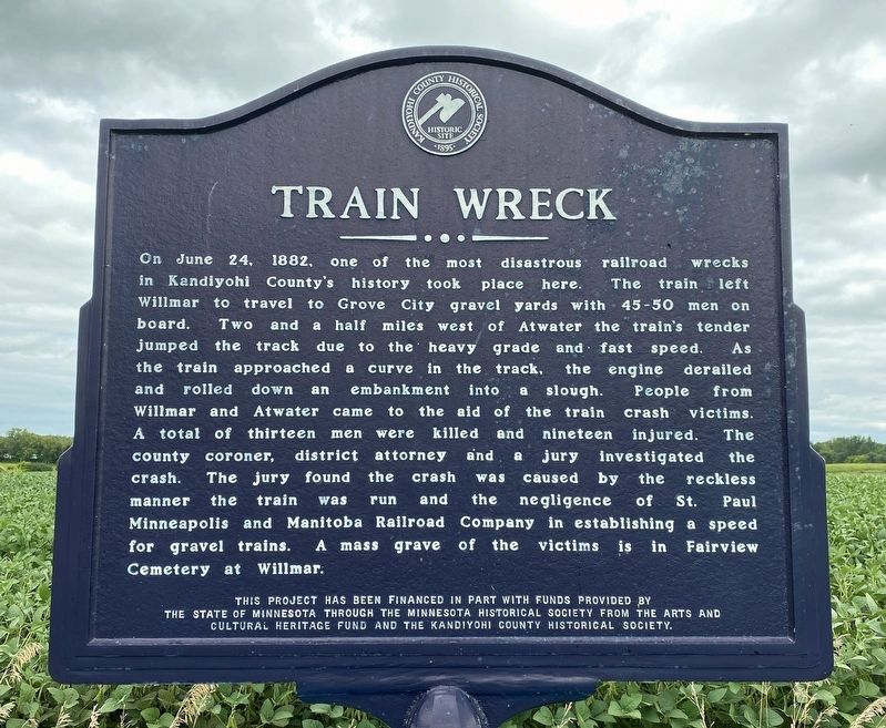
Train Wreck
August 26, 2023
1. Train Wreck Marker
Erected by the State of Minnesota through the Minnesota Historical Society from the Arts and Cultural Heritage Fund and the Kandiyohi Historical Society.
Topics. This historical marker is listed in these topic lists: Disasters • Railroads & Streetcars. A significant historical date for this entry is June 24, 1882.
Location. 45° 8.088′ N,
this page online

Regionally, this marker is in Central Minnesota and specifically in Southwest Minnesota. It is also in the American Midwest and in the Corn Belt. Globally, it is in North America, the Western Hemisphere, the Western World, and the Anglosphere. Historically, it finds itself in what was once Rupert’s Land, the territory of the Mississippian Culture, and the Louisiana Purchase.
Other nearby markers. At least 8 other markers are within 5 miles of this marker, measured as the crow flies: Red River Trail (approx. 3.2 miles away); Wheeler Lake Camp (approx. 3½ miles away); Capitol Hill (approx. 3.7 miles away); Diamond Lake Camp (approx. 4 miles away); Diamond Lake Community Park (approx. 4 miles away); Backlund / Lorentson Monument (approx. 4.1 miles away); Carrie Johnson (approx.
August 26, 2023
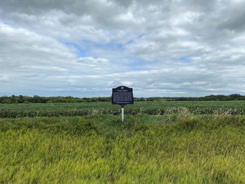
2. Train Wreck Marker
August 26, 2023
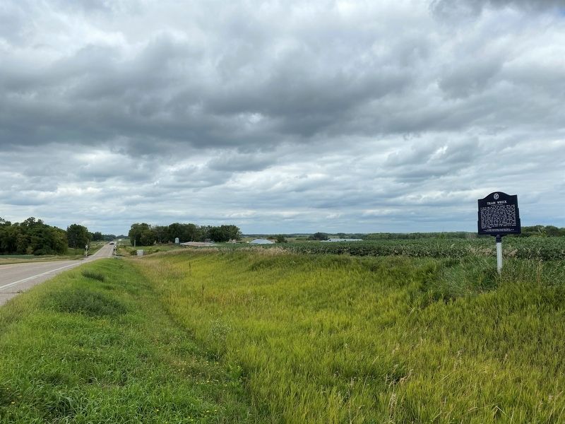
3. Train Wreck Marker, from the south
August 26, 2023
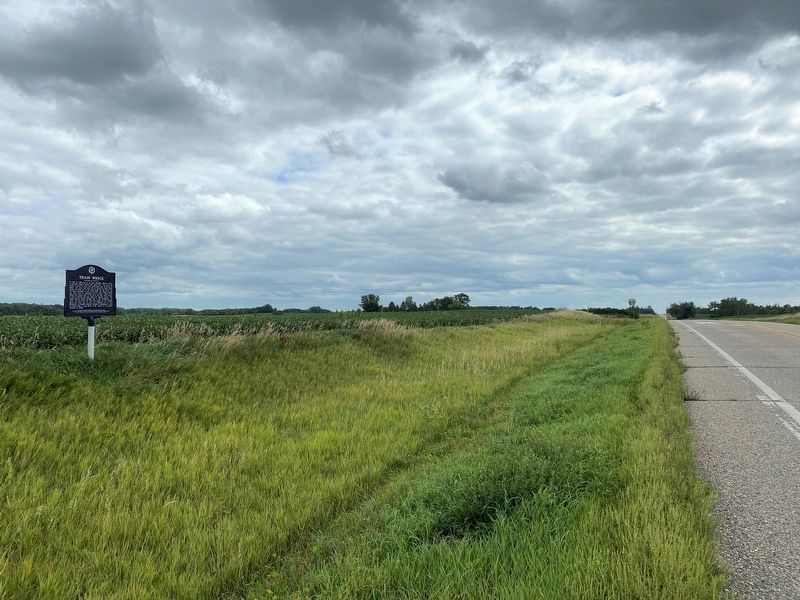
4. Train Wreck Marker, from the north
Credits. This page was last revised on August 30, 2023. It was originally submitted on August 29, 2023. This page has been viewed 749 times since then and 76 times this year. Photos: 1, 2, 3, 4. submitted on August 29, 2023.
