
New London Township in Kandiyohi County, Minnesota — The American Midwest (Upper Plains)
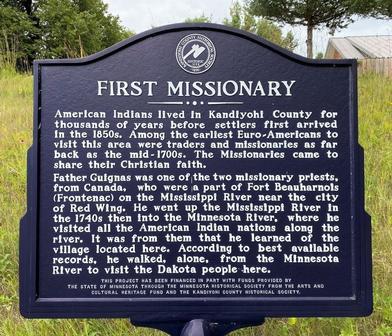
First Missionary
August 26, 2023
1. First Missionary Marker
Father Guignas was one of the two missionary priests, from Canada, who were a part of Fort Beauharnois (Frontenac) on the Mississippi River near the city of Red Wing. He went up the Mississippi River in the 1740s then into the Minnesota River, where he visited all the American Indian nations along the river. It was from them that he learned of the village located here. According to best available records, he walked, alone, from the Minnesota River to visit the Dakota people here.
Erected by the State of Minnesota through the Minnesota Historical Society from the Arts and Cultural Heritage Fund and the Kandiyohi County Historical Society.
Topics. This historical marker is listed in this topic list: Churches & Religion.
Location. 45° 16.469′ N, 94° 53.799′ W. Marker is near New London, Minnesota, in Kandiyohi County. It is in New London Township. Marker is on North Shore Drive (County Highway 30) 1½ miles west of County Road
this page online
Other nearby markers. At least 8 other markers are within 3 miles of this marker, measured as the crow flies. Indian Camp (approx. one mile away); How Irving Township Got Its Start (approx. 1½ miles away); Green Lake Mounds (approx. 1.9 miles away); Green Lake Village and Mill (approx. 2 miles away); Little Crow's Camp (approx. 2.8 miles away); Origin Of Crow River Dam and Mills (approx. 2.9 miles away); Early History of New London (approx. 2.9 miles away); Veterans Memorial (approx. 2.9 miles away). Touch for a list and map of all markers in New London.
August 26, 2023
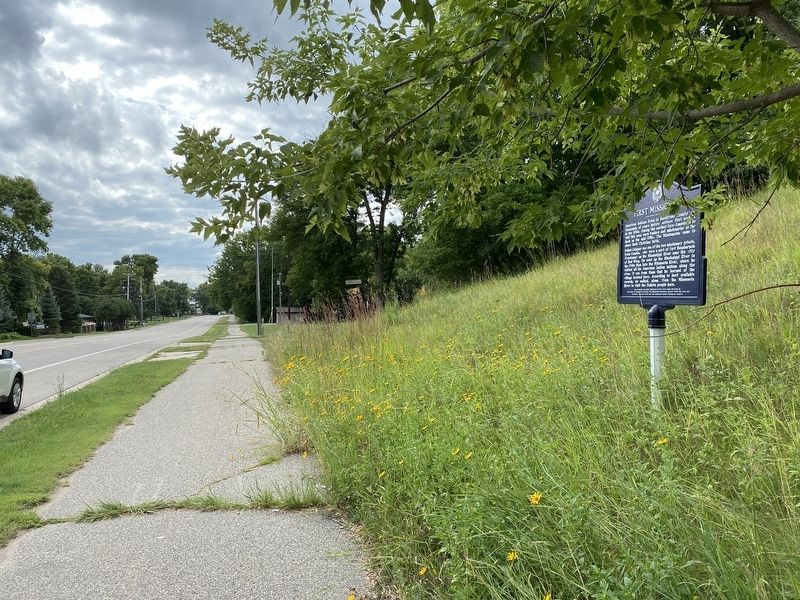
2. First Missionary Marker, from the east
August 26, 2023
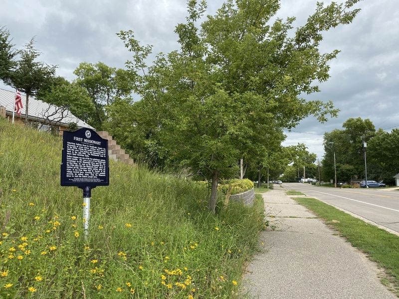
3. First Missionary Marker, from the west
Credits. This page was last revised on August 30, 2023. It was originally submitted on August 29, 2023. This page has been viewed 68 times since then and 14 times this year. Photos: 1, 2, 3. submitted on August 29, 2023.

