Irving Township near Paynesville in Kandiyohi County, Minnesota — The American Midwest (Upper Plains)
Cape Bad Luck
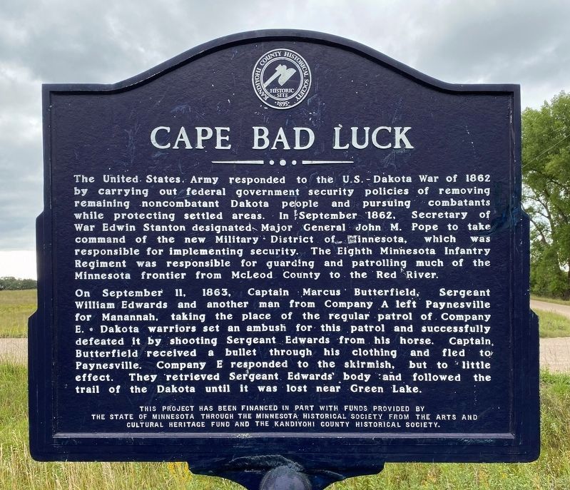
On September 11, 1863, Captain Marcus Butterfield, Sergeant William Edwards and another man from Company A left Paynesville for Manannah, taking the place of the regular patrol of Company E. Dakota warriors set an ambush for this patrol and successfully defeated it by shooting Sergeant Edwards from his horse. Captain Butterfield received a bullet through his clothing and fled to Paynesville. Company E responded to the skirmish, but to little effect. They retrieved Sergeant Edwards' body and followed the trail of the Dakota until it was lost near Green Lake.
Erected by the State of Minnesota through the Minnesota Historical Society from the Arts and Cultural Heritage Fund and the Kandiyohi County Historical Society.
Topics. This historical marker is listed in these topic lists: Settlements & Settlers • Wars, US Indian. A significant historical month for this entry is September 1862.
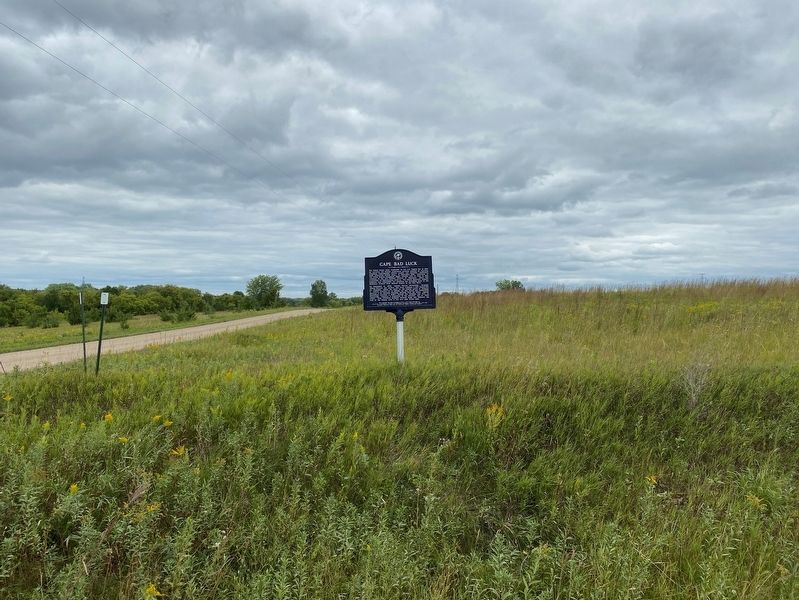
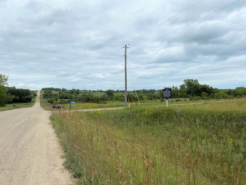
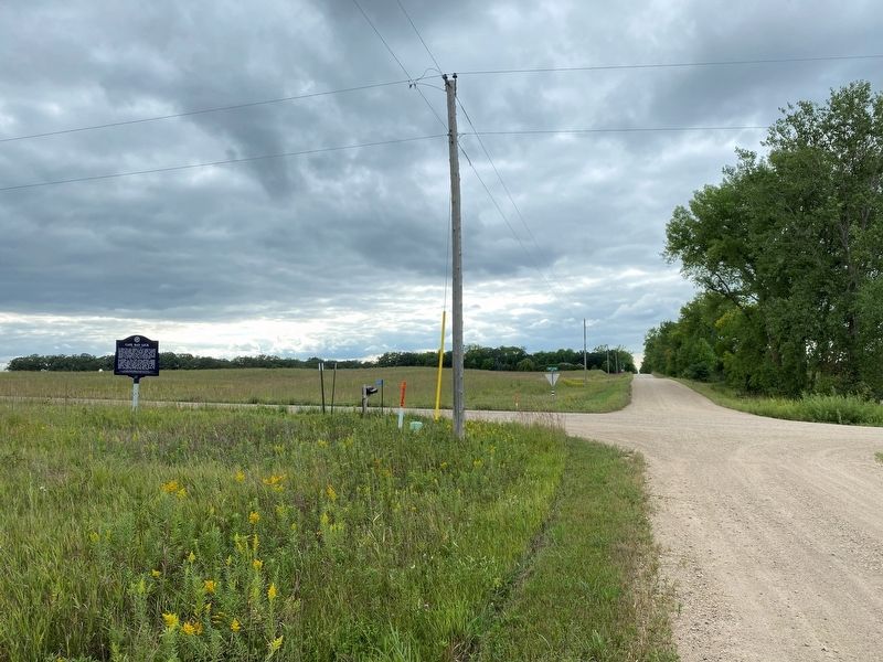
Location. 45° 19.562′ N, 94° 47.006′ W. Marker is near Paynesville, Minnesota, in Kandiyohi County. It is in Irving Township. Marker is at the intersection of 190th Street Northeast (County Road 143) and 210th Avenue Northeast, on the right when traveling north on 190th Street Northeast. Touch for map. Marker is in this post office area: Paynesville MN 56362, United States of America. Touch for directions.
Other nearby markers. At least 8 other markers are within 7 miles of this marker, measured as the crow flies. Threshing Crew Attacked (approx. 2.4 miles away); Battle of the Broom (approx. 2.6 miles away); Veterans Memorial (approx. 3.9 miles away); How Irving Township Got Its Start (approx. 5.7 miles away); Indian Camp (approx. 5.8 miles away); Green Lake Mounds (approx. 6.3 miles away); First Missionary (approx. 6.6 miles away); 1872 Blizzard (approx. 6.9 miles away). Touch for a list and map of all markers in Paynesville.
Credits. This page was last revised on August 30, 2023. It was originally submitted on August 29, 2023. This page has been viewed 112 times since then and 50 times this year. Photos: 1, 2, 3, 4. submitted on August 29, 2023.


