Union Township near Culver in Marshall County, Indiana — The American Midwest (Great Lakes)
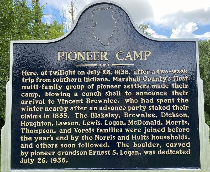
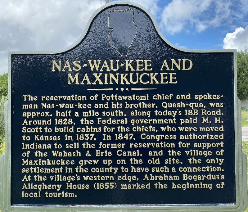
Pioneer Camp / Nas-Wau-Kee and Maxinkuckee
Pioneer Camp. Here, at twilight on July 26, 1836, after a two-week trip from southern Indiana, Marshall County’s first multi-family group of pioneer settlers made their camp, blowing a conch shell to announce their arrival to Vincent Brownlee, who had spent the winter nearby after an advance party staked their claims in 1835. The Blakeley, Brownlee, Dickson, Houghton, Lawson, Lewis, Logan, McDonald, Morris, Thompson, and Voreis families were joined before the year’s end by the Norris and Hults households, and others soon followed. The boulder, carved by pioneer grandson Ernest S. Logan, was dedicated July 26, 1936.
Nas-Wau-Kee and Maxinkuckee. The reservation of Potawatomi chief and spokesman Nas-wau-kee and his brother, Quash-qua, was approx. half a mile south, along today’s 18 B Road. Around 1828, the Federal government paid M. H. Scott to build cabins for the chiefs, who were moved to Kansas in 1837. From 1842, the former reservation lands could be sold to help pay Indiana’s debts from the Wabash & Erie Canal, and the village of Maxinkuckee grew up on the old site, the only settlement in the county to have such a connection. At the village’s western edge, Abraham Bogardus’s Allegheny House (1855) marked the beginning of local tourism.
Erected 2021 by an ad-hoc group of pioneer descendants led by Mark Voreis.
Topics. This historical marker is listed in these topic lists: Native Americans • Settlements & Settlers. A significant historical date for this entry is July 26, 1836.
Location. This marker has been replaced by another marker nearby. It was located near 41° 13.47′ N, 86° 22.926′ W. Marker was near Culver, Indiana, in Marshall County. It was in Union Township. Marker was at the intersection of Indiana Route 10 and Queen Road, on the right when traveling east on State Route 10. Touch for map. Marker was in this post office area: Culver IN 46511, United States of America. Touch for directions.
Other nearby markers. At least 8 other markers are within 9 miles of this location, measured as the crow flies. Potawatomi Indian Village (approx. 5 miles away); Chief Menominee (approx. 5 miles away); Taber Cemetery (approx. 7½ miles away); Plymouth Firemans Memorial (approx. 7½ miles away); First Meeting of Marshall County (approx. 8.1 miles away); Plymouth's First Fire Alarm (approx. 8.9 miles away); Roberts Cemetery (approx. 9 miles away); Honor Roll - Marshall County Indiana (approx. 9 miles away).
Credits. This page was last revised on September 5, 2023. It was originally submitted on September 1, 2023, by The Very Rev. John Wm. Houghton, Ph.D. of Culver, Indiana. This page has been viewed 54 times since then and 18 times this year. Photos: 1, 2. submitted on September 1, 2023, by The Very Rev. John Wm. Houghton, Ph.D. of Culver, Indiana. • Devry Becker Jones was the editor who published this page.
Editor’s want-list for this marker. A wide shot of the original marker in context. • Can you help?

