Cayuga Lake in Romulus in Seneca County, New York — The American Northeast (Mid-Atlantic)
East Varick
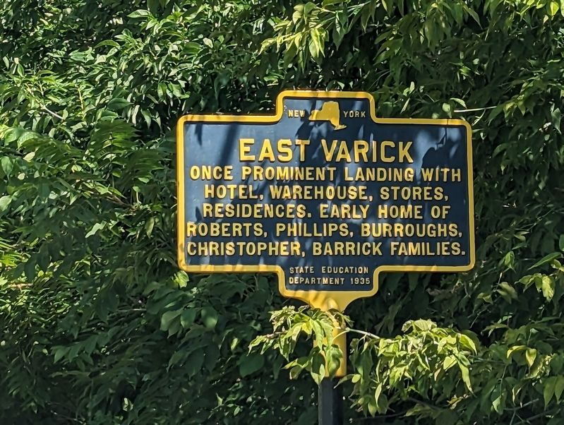
Photographed by Mira Earls, September 1, 2023
1. East Varick Marker
Erected 1936 by State Education Department.
Topics. This historical marker is listed in this topic list: Settlements & Settlers.
Location. 42° 46.223′ N, 76° 46.153′ W. Marker is in Romulus, New York, in Seneca County. It is in Cayuga Lake. It is at the intersection of New York State Route 89 and East Varick Street, on the right when traveling south on New York State Route 89. Touch for map. Marker is at or near this postal address: 5245 Route 89, Aurora NY 13026, United States of America. Touch for directions.

Regionally, this marker is in Upstate New York, specifically in Western New York, and in the Finger Lakes. It is also in the American Northeast and in the Mid-Atlantic. Globally, it is in North America, the Western Hemisphere, the Western World, and the Anglosphere. Historically, it finds itself in what was once the Haudenosaunee (Iroquois) Confederacy, New Netherland, and one of the original Thirteen Colonies.
Other nearby markers. At
this page online
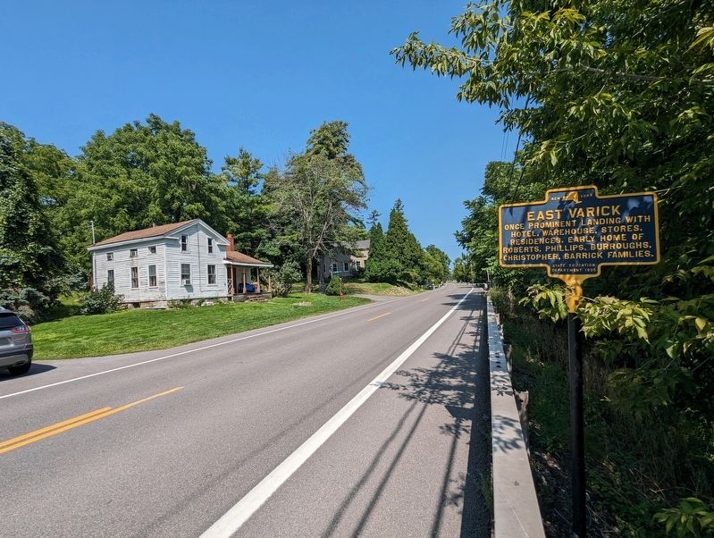
Photographed by Mira Earls, September 1, 2023
2. East Varick Marker looking North on Route 89
Credits. This page was last revised on September 6, 2023. It was originally submitted on September 2, 2023, by Mira Earls of Cortland, New York. This page has been viewed 328 times since then and 32 times this year. Photos: 1, 2. submitted on September 2, 2023, by Mira Earls of Cortland, New York. • Devry Becker Jones was the editor who published this page.
