Lincolnton in Lincoln County, North Carolina — The American South (South Atlantic)
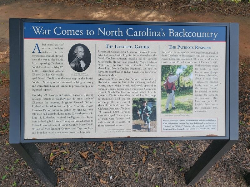
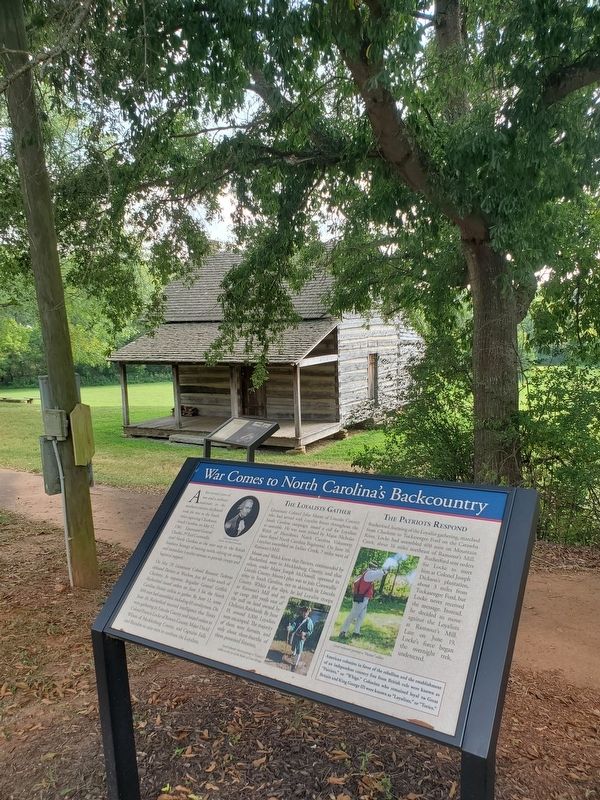
War Comes to North Carolina's Backcountry
On May 29, Lieutenant Colonel Banastre Tarleton defeated Patriots at Waxhaw, just 40 miles south of Charlotte. In response, Brigadier General Griffith Rutherford issued orders on June 3 for the North Carolina Patriot militia to gather. By June 12, some 800 men had assembled, including 65 cavalrymen. On June 14, Rutherford received intelligence that Tories were gathering in Lincoln County and issued orders to Colonel Francis Locke of Rowan County, Major David Wilson of Mecklenburg County, and Captains Falls and Brandon to raise men to confront the Loyalists.
The Loyalists Gather
Lieutenant Colonel John Moore of Lincoln County, who had served with Loyalist forces throughout the South Carolina campaign, issued a call for Loyalists to assemble. He was soon joined by Major Nicholas Welch of Hamilton's North Carolina Volunteers (later Royal North Carolina Regiment). On June 10, Loyalists assembled on Indian Creek, 7 miles west of Ramsour's Mill.
Moore and Welch knew that Patriots, commanded by Rutherford, were in Mecklenburg County, and that others, under Major Joseph McDowell, operated in Lincoln County. Moore's plan was to join Cornwallis' army in South Carolina, not to skirmish in Lincoln County. Within a few days, he led Loyalist troops to Ramsour's Mill and set up camp 300 yards east of the mill on land owned by Christian Reinhardt. By June 19, around 1,300 Loyalists were encamped. The majority of them were farmers, and only about three-fourths of them possessed firearms.
The Patriots Respond
Rutherford, learning of the Loyalist gathering, marched from Charlotte to Tuckaseegee Ford on the Catawba River. Locke had assembled 400 men on Mountain Creek, about 16 miles northeast of Ramsour's Mill. Rutherford sent orders for Locke to meet him at Colonel Joseph Dickson's plantation, about 3 miles from Tuckaseegee Ford, but Locke never received the message. Instead, he decided to move against the Loyalists at Ramsour's Mill. Late on June 19, Locke's force began the overnight trek, undetected.
(sidebar)
American colonists in favor of the rebellion and the establishment of an independent country free from British rule were known as "Patriots" or "Whigs". Colonists who remained loyal to Great Britain and King George III were known as "Loyalists" or "Tories."
(captions)
(top left) Lieutenant-General Charles, 2nd Earl Cornwallis
(bottom center) Local volunteer docent portrays a "Loyalist" soldier at the site of the Battle of Great Bridge.
(bottom right) Local volunteer portrays a "Patriot" soldier.
Topics. This historical marker is listed in these topic lists: Colonial Era • Patriots & Patriotism • War, US Revolutionary. A significant historical date for this entry is June 19, 1780.
Location. 35° 28.611′ N, 81° 15.96′ W. Marker is in Lincolnton, North Carolina, in Lincoln County. Marker is at the intersection of Jeb Seagle Drive and Linwood Drive, on the left when traveling west on Jeb Seagle Drive. Touch for map. Marker is at or near this postal address: 254 Jeb Seagle Dr, Lincolnton NC 28092, United States of America. Touch for directions.
Other nearby markers. At least 8 other markers are within walking distance of this marker. The Battle (here, next to this marker); The Battle of Ramsour's Mill (here, next to this marker); The Aftermath (a few steps from this marker); The John Martin Shuford Gravesite (within shouting distance of this marker); The Patriot Captains' Gravesite (about 600 feet away, measured in a direct line); Ramsour-Reinhardt Cemetery (approx. 0.4 miles away); a different marker also named Battle of Ramsour's Mill (approx. 0.4 miles away); Michael Hoke (approx. half a mile away). Touch for a list and map of all markers in Lincolnton.
Also see . . .
1. Battle of Ramsour's Mill. NCpedia (Submitted on September 3, 2023.)
2. Battle of Ramsour's Mill Tour. AmRevNC.com (Submitted on September 3, 2023.)
Credits. This page was last revised on September 3, 2023. It was originally submitted on September 2, 2023. This page has been viewed 70 times since then and 13 times this year. Photos: 1. submitted on September 2, 2023. 2. submitted on September 2, 2023, by Mark Parker of Hickory, North Carolina. • Bernard Fisher was the editor who published this page.

