Lincolnton in Lincoln County, North Carolina — The American South (South Atlantic)
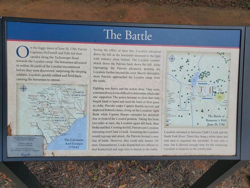
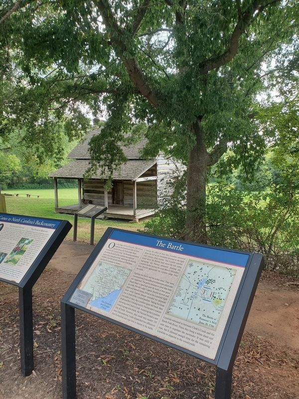
The Battle
Seeing the effect of their fire, Loyalists advanced down the hill as the horsemen returned to the fight with infantry close behind. The Loyalist counter-attack drove the Patriots back down the hill. After regrouping, the Patriots advanced, pushing the Loyalists further beyond the crest. Shortly thereafter, more Patriots approached the Loyalist camp from the south.
Fighting was fierce and the action close. They wore common dress; it was difficult to determine which side one supported. The action became so close that men fought hand to hand and used the butts of their guns as clubs. Patriots under Captain Hardin arrived and deployed behind a fence, firing on the Loyalists' right flank while Captain Sharpe extended his skirmish line in front of the Loyalist position. Taking fire from two sides at once, the Loyalists again fell back, then broke and fled. Cresting the hill, Patriots saw Loyalists retreating over Clark's Creek. Assuming the Loyalists would regroup and attack, the Patriots formed a new line of battle. However, they could only muster 110 men. Outnumbered, Locke dispatched two officers to find Rutherford and urge him to hasten to the battle.
Loyalists retreated to between Clark's Creek and the South Fork River. There they hung a white sheet and sent men to negotiate the surrender. It was only a ruse, but it allowed enough time for the remaining Loyalists to disperse to the countryside.
(captions)
(bottom left) The Carolinas and Georgia 1777-1781
(top right) The Battle of Ramsour's Mill June 20, 1780
Erected 2021 by Charles, Larry and Stanley Carpenter.
Topics. This historical marker is listed in these topic lists: Colonial Era • Patriots & Patriotism • War, US Revolutionary. A significant historical date for this entry is June 20, 1780.
Location. 35° 28.612′ N, 81° 15.962′ W. Marker is in Lincolnton, North Carolina, in Lincoln County. Marker is at the intersection of Jeb Seagle Drive and Linwood Drive, on the left when traveling west on Jeb Seagle Drive. Touch for map. Marker is at or near this postal address: 254 Jeb Seagle Dr, Lincolnton NC 28092, United States of America. Touch for directions.
Other nearby markers. At least 8 other markers are within walking distance of this marker. War Comes to North Carolina's Backcountry (here, next to this marker); The Aftermath (here, next to this marker); The Battle of Ramsour's Mill (a few steps from this marker); The John Martin Shuford Gravesite (within shouting distance of this marker); The Patriot Captains' Gravesite (about 600 feet away, measured in a direct line); Ramsour-Reinhardt Cemetery (approx. 0.4 miles away); a different marker also named Battle of Ramsour's Mill (approx. 0.4 miles away); Michael Hoke (approx. half a mile away). Touch for a list and map of all markers in Lincolnton.
Also see . . .
1. Battle of Ramsour's Mill. NCpedia (Submitted on September 4, 2023.)
2. Battle of Ramsour's Mill Tour. AmRevNC.com (Submitted on September 4, 2023.)
Credits. This page was last revised on September 4, 2023. It was originally submitted on September 2, 2023, by Mark Parker of Hickory, North Carolina. This page has been viewed 57 times since then and 10 times this year. Photos: 1, 2. submitted on September 2, 2023, by Mark Parker of Hickory, North Carolina. • Bernard Fisher was the editor who published this page.

