Lincolnton in Lincoln County, North Carolina — The American South (South Atlantic)
The Aftermath

Photographed by Mark Parker, August 28, 2023
1. The Aftermath Marker
Despite the numerical odds, 400 Patriots defeated 1,300 Loyalists, a turning point in the British Southern Strategy by demoralizing the Loyalists. Never again would large numbers of North Carolina Loyalists rise up to join the British forces.
Patriot Forces (1,200 men)
Commanding Officer: Brigadier General Griffith Rutherford
(Note: Approximately 800 men with General Rutherford arrived after the battle had ended. Colonel Locke attacked with 400 men)
Commanding Officer at the Battle of Ramsour's Mill: Colonel Francis Locke
North Carolina Militia:
1st Rowan County Regiment
2nd Rowan Country Regiment
Mecklenburg
this page online
Burke County Regiment
Lincoln County Regiment
Rutherford County Regiment
Loyalist Forces (1,300 men)
Commanding Officer: Lieutenant Colonel John Moore, North Carolina Volunteers (later Royal North Carolina Regiment)
Second-in-command: Major Nicholas Welch, North Carolina Volunteers
Loyalist men generally came from Rutherford, Lincoln, Burke, Rowan, and Mecklenburg Counties in North Carolina and from adjoining South Carolina areas.
Erected 2021 by Charles, Larry and Stanley Carpenter.
Topics. This historical marker is listed in these topic lists: Colonial Era • Patriots & Patriotism • War, US Revolutionary. A significant historical date for this entry is June 20, 1780.
Location. 35° 28.615′ N, 81° 15.964′ W. Marker is in Lincolnton, North Carolina, in Lincoln County. It is at the intersection of Jeb Seagle Drive and Linwood Drive, on the left when traveling west on Jeb Seagle Drive. Touch for map. Marker is at or near this postal address: 254 Jeb Seagle Dr, Lincolnton NC 28092, United States of America. Touch for directions.

Regionally, this marker is in the Piedmont and in Greater Charlotte. It
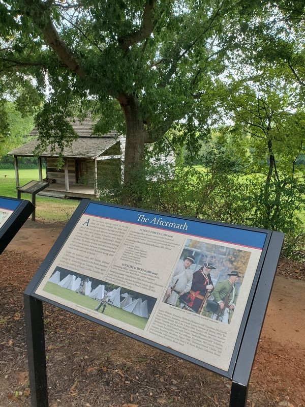
Photographed by Mark Parker, August 28, 2023
2. The Aftermath Marker
Other nearby markers. At least 8 other markers are within walking distance of this marker: The Battle (here, next to this marker); War Comes to North Carolina's Backcountry (a few steps from this marker); The Battle of Ramsour's Mill (a few steps from this marker); The John Martin Shuford Gravesite (within shouting distance of this marker); The Patriot Captains' Gravesite (about 600 feet away, measured in a direct line); Whig Captains' Grave (about 600 feet away); Ramsour-Reinhardt Cemetery (approx. 0.3 miles away); "Skip" Lawing Place (approx. 0.4 miles away). Touch for a list and map of all markers in Lincolnton.
Also see . . .
1. Battle of Ramsour's Mill. NCpedia (Submitted on September 4, 2023.)
2. Battle of Ramsour's Mill Tour. AmRevNC.com (Submitted on September 4, 2023.)
Credits. This page was last revised on September 4, 2023. It was originally submitted on September 2, 2023, by Mark Parker of Hickory, North Carolina. This page has been viewed 289 times since then and 22 times this year. Photos: 1, 2. submitted on September 2, 2023, by Mark Parker of Hickory, North Carolina. • Bernard Fisher was the editor who published this page.
