Cookham in Berkshire, England, United Kingdom — Northwestern Europe (the British Isles)
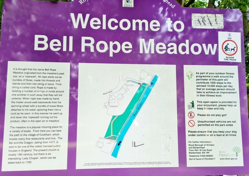
Welcome to Bell Rope Meadow
It is thought that the name Bell Rope Meadow originated from the meadow's past use, as a 'ropewalk'. All rope starts out as bundles of fibres, made into threads and stands and then into string or twine. Thick string is called cord. Rope is made by twisting a number of strings or cords around one another in such away that they will not untwine. When rope was made by hand, the maker would walk backwards from his spinning wheel with a bundle of loose fibres attaches to his waist, spinning them into a cord as he went. In this manner he went up and down the 'ropewalk' turning out his product, often in the open air or meadow.
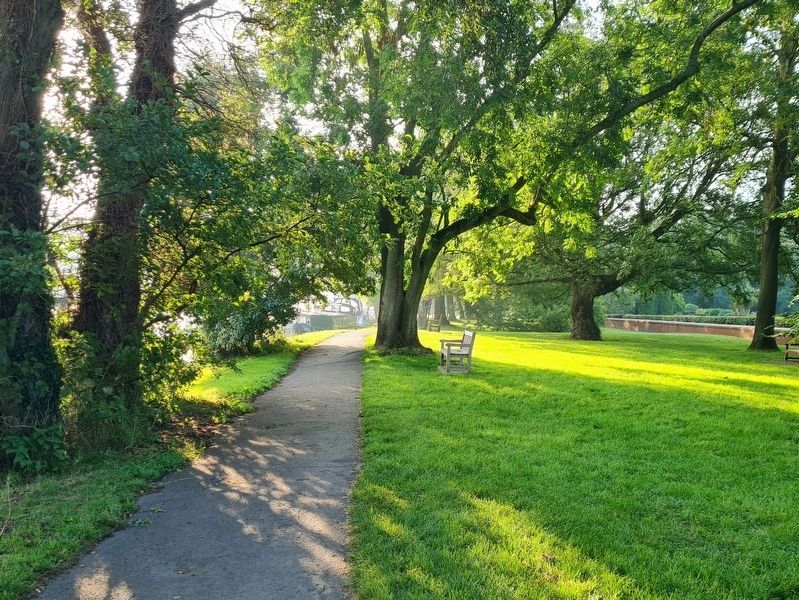
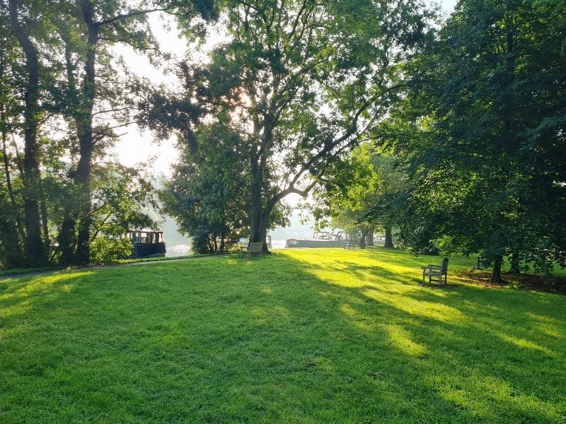
The meadow is a popular mooring place for a variety of boats. From here you can take the path to the village of Cookham, which boasts many fine restaurants and inns. The Bel and the Dragon, dating from 1417, is said to be one of the oldest licensed public houses in England. The present church is mostly 13th century, but there is an interesting 'Lady Chapel', which can be dated back to 1182.
Erected by Royal Borough of Windsor and Maidenhead.
Topics. This historical marker is listed in these topic lists: Industry & Commerce • Parks & Recreational Areas.
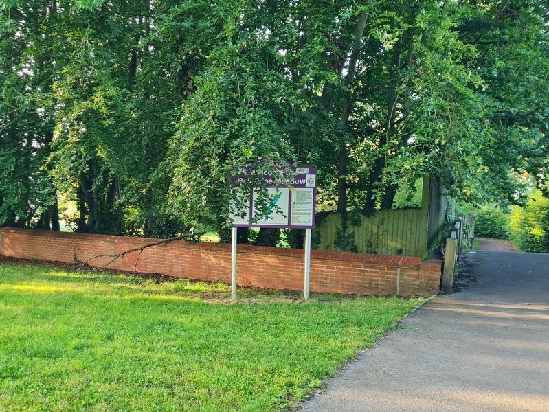
Location. 51° 33.793′ N, 0° 42.622′ W. Marker is in Cookham, England, in Berkshire. Marker can be reached from Berries Road. Marker is at the entrance to Bell Rope Meadow the end of Berries Road. Touch for map. Marker is at or near this postal address: Berries Road, Cookham, England SL6 9SD, United Kingdom. Touch for directions.
Other nearby markers. At least 8 other markers are within 5 kilometers of this marker, measured as the crow flies. Causeway Bridge (approx. 0.4 kilometers away); Cookham War Memorial (approx. 0.4 kilometers away); Sir Stanley Spencer (approx. 0.4 kilometers away); The Tarry Stone (approx. 0.4 kilometers away); Boulter's Weir (approx. 3.2 kilometers away); Maidenhead Boundary Walk (approx. 3.4 kilometers away); Welcome to Ray Mill Island (approx. 3.4 kilometers away); Richard Dimbleby CBE (approx. 3.5 kilometers away). Touch for a list and map of all markers in Cookham.
Credits. This page was last revised on September 4, 2023. It was originally submitted on September 3, 2023, by Stephen Palmer of Ascot, England. This page has been viewed 72 times since then and 36 times this year. Photos: 1, 2, 3, 4. submitted on September 3, 2023, by Stephen Palmer of Ascot, England. • Andrew Ruppenstein was the editor who published this page.


