Near Carlisle in Sullivan County, Indiana — The American Midwest (Great Lakes)
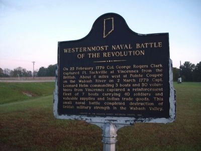
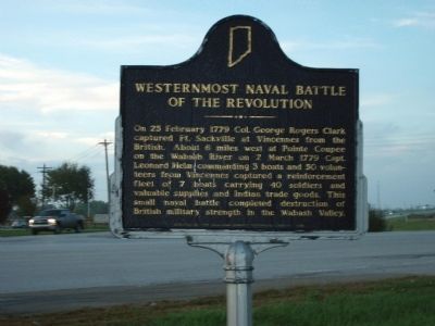
Westernmost Naval Battle of the Revolution
| — | Col. George Rogers Clark | — |
Photographed by Al Wolf, October 10, 2009
1. Side A - - Westernmost Naval Battle of the Revolution Marker
Erected 1985 by Sullivan County Historical Society. (Marker Number 77.1985.1.)
Topics and series. This historical marker is listed in these topic lists: Military • War, US Revolutionary. In addition, it is included in the Indiana Historical Bureau Markers series list. A significant historical date for this entry is February 25, 1779.
Location. 38° 57.338′ N, 87° 24.452′ W. Marker is near Carlisle, Indiana, in Sullivan County. It is on U.S. 150 south of South Ledgerwood Street, on the left when traveling south. The marker is located at U.S.150 (a.k.a. "New 41") and the "off" connector to "Old 41" South of Ledgerwood Street Exit. Touch for map. Marker is in this post office area: Carlisle
this page online

Regionally, this marker is in Southern Indiana and in the Wabash Valley. It is also in the American Midwest and in the Corn Belt. Globally, it is in North America, the Western Hemisphere, the Western World, and the Anglosphere. Historically, it finds itself in what was once the territory of the Mississippian Culture and also the Northwest Territory.
Other nearby markers. At least 8 other markers are within 11 miles of this marker, measured as the crow flies: Shakertown (approx. 4.8 miles away); Sullivan Carnegie Library (approx. 9.6 miles away); Korean War and Vietnam War Veterans (approx. 9.6 miles away); World War I & World War I I Memorial (approx. 9.6 miles away); Global War on Terrorism (approx. 9.6 miles away); Merom Conference Center (approx. 10.8 miles away); Fort LaMotte (approx. 10.9 miles away in Illinois); Merom Founded 1817 (approx. 11.1 miles away).
Photographed by Al Wolf, October 10, 2009
2. Side B - - Westernmost Naval Battle of the Revolution Marker
Photographed by Al Wolf, October 10, 2009
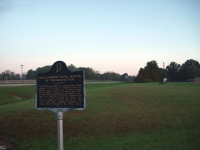
3. North View - - Westernmost Naval Battle of the Revolution Marker
Photographed by Al Wolf, October 10, 2009
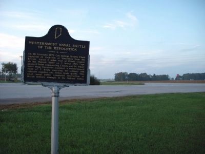
4. South/West View - - Westernmost Naval Battle of the Revolution Marker
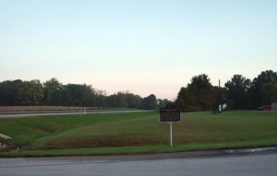
Photographed by Al Wolf, October 10, 2009
5. Long View to North - - Westernmost Naval Battle of the Revolution Marker
Credits. This page was last revised on June 16, 2016. It was originally submitted on October 12, 2009, by Al Wolf of Veedersburg, Indiana. This page has been viewed 2,109 times since then and 103 times this year. Photos: 1, 2, 3, 4, 5. submitted on October 12, 2009, by Al Wolf of Veedersburg, Indiana. • Syd Whittle was the editor who published this page.
