Sausalito in Marin County, California — The American West (Pacific Coastal)
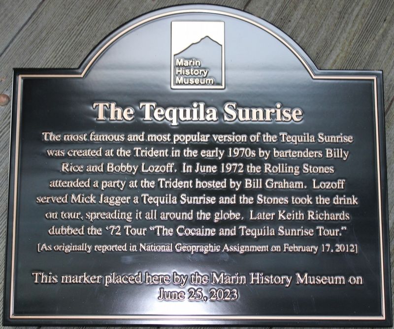
The Tequila Sunrise
[As originally reported in National Geographic Assignment on February 17, 2012]
Erected 2023 by Marin History Museum.
Topics. This historical marker is listed in this topic list: Notable Events. A significant historical month for this entry is June 1972.
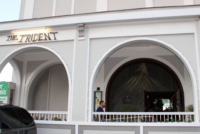
Location. 37° 51.218′ N, 122° 28.721′ W. Marker is in Sausalito, California, in Marin County. Marker is on Bridgeway north of Richardson Street, on the right when traveling north. The marker is mounted under an arch on the arcade. Touch for map. Marker is at or near this postal address: 558 Bridgeway, Sausalito CA 94965, United States of America. Touch for directions.
Other nearby markers. At least 8 other markers are within walking distance of this marker. The Trident (a few steps from this marker); Sausalito (about 500 feet away, measured in a direct line); Eureka (about 500 feet away); Becker Building (about 600 feet away); Princess Theater (about 600 feet away); Fiedler's General Store (about 700 feet away); Bank of Sausalito (approx. 0.2 miles away); Old Sausalito City Hall / 1894 Old City Hall (approx. 0.2 miles away). Touch for a list and map of all markers in Sausalito.
Credits. This page was last revised on September 6, 2023. It was originally submitted on September 6, 2023, by Joseph Alvarado of Livermore, California. This page has been viewed 74 times since then and 31 times this year. Photos: 1, 2. submitted on September 6, 2023, by Joseph Alvarado of Livermore, California.

