Key West in Monroe County, Florida — The American South (South Atlantic)
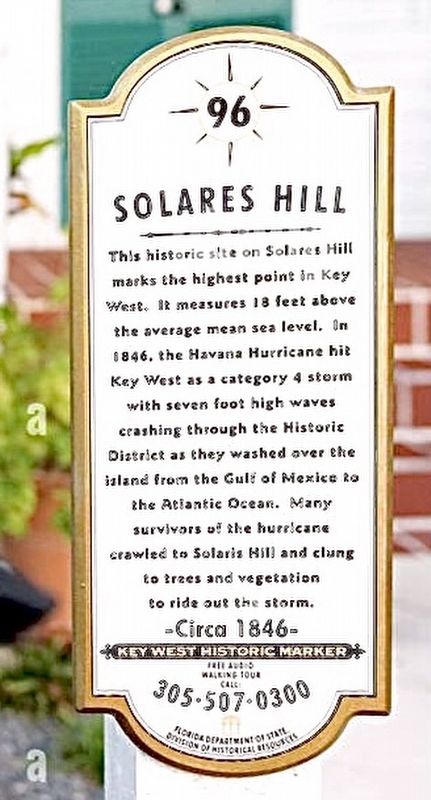
Solares Hill
Key West Art & Historical Society
—Circa 1846—
Key West Historic Marker
Free Audio
Walking Tour
Call: 305•507•0300
Sponsor: Florida of State Division of Historical Resources
Erected by Key West Art & Historical Society. (Marker Number 96.)
Topics. This historical marker is listed in these topic lists: Disasters • Notable Events. A significant historical year for this entry is 1846.
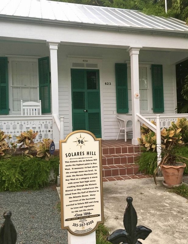
Location. 24° 33.341′ N, 81° 47.941′ W. Marker is in Key West, Florida, in Monroe County. Marker is at the intersection of Elizabeth Street and Angela Street, on the right when traveling north on Elizabeth Street. Touch for map. Marker is at or near this postal address: 623 Elizabeth Street, Key West FL 33040, United States of America. Touch for directions.
Other nearby markers. At least 8 other markers are within walking distance of this marker. Key West's Metal Roofs (about 400 feet away, measured in a direct line); 623 Southard St. (about 400 feet away); Benjamin Curry House (about 400 feet away); The W.H. Albury House (about 500 feet away); Sawyer-Navarro House (approx. 0.2 miles away); The Key West Cemetery (approx. 0.2 miles away); James Haskins House (approx. 0.2 miles away); The Oldest Drug Store (approx. 0.2 miles away). Touch for a list and map of all markers in Key West.
Also see . . .
1. Solares Hill, Key West’s Highest Elevation. (Submitted on September 6, 2023, by Brandon D Cross of Flagler Beach, Florida.)
2. Key West Art & Historical Society. (Submitted on September 6, 2023, by Brandon D Cross of Flagler Beach, Florida.)
Credits. This page was last revised on September 7, 2023. It was originally submitted on September 6, 2023, by Brandon D Cross of Flagler Beach, Florida. This page has been viewed 87 times since then and 30 times this year. Photos: 1, 2. submitted on September 6, 2023, by Brandon D Cross of Flagler Beach, Florida. • Bernard Fisher was the editor who published this page.

