Near Rhodesville in Lauderdale County, Alabama — The American South (East South Central)
General John Coffee
Photographed by Billy Clemmons, September 7, 2023
1. General John Coffee Marker
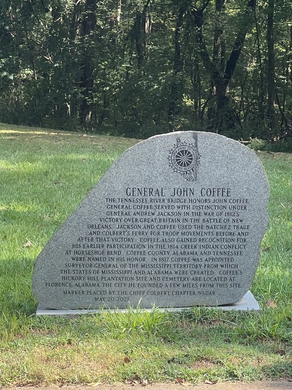
The Tennessee River Bridge honors General John Coffee. General Coffee served with distinction under General Andrew Jackson in the War of 1812's victory over Great Britain in the Battle of New Orleans. Jackson and Coffee used the Natchez Trace and Colbert’s Ferry for troop movements before and after that victory. Coffee also gained recognition for his earlier participation in the 1814 Creek Indian conflict at Horseshoe Bend. Coffee County, Alabama and Tennessee were named in his honor. In 1817 Coffee was appointed Surveyor General of the Mississippi territory from which the states of Mississippi and Alabama were created. Coffee’s Hickory Hill plantation site and cemetery are located at Florence, Alabama, the city he founded a few miles from this site.
Erected 2021 by Chief Colbert Chapter, National Society Daughters of the American Revolution (NSDAR).
Topics and series. This historical marker is listed in these topic lists: Settlements & Settlers • War of 1812. In addition, it is included in the Daughters of the American Revolution (DAR) series list. A significant historical year for this entry is 1814.
Location. 34° 51.491′ N, 87° 54.331′ W.
this page online

Regionally, this marker is in North Alabama and in the Shoals. It is also in the American South, specifically in the Deep South, in Appalachia, and specifically in Southern Appalachia. Globally, it is in North America, a Gulf of Mexico state, the Western Hemisphere, the Western World, and the Anglosphere. Historically, it finds itself in what was once the territory of the Mississippian Culture, one of the Confederate States of America, and the Antebellum South.
Other nearby markers. At least 8 other markers are within 3 miles of this marker, measured as the crow flies: Tiny Jewels of the Air (within shouting distance of this marker); Rock Spring (within shouting distance of this marker); Driven Up The Waters (approx. 1.6 miles away); Wilson's Headquarters and Camp (approx. 1.8 miles away); Colbert Ferry (approx. 2½ miles away); Safe Crossing (approx. 2½ miles away); Wet, Wild, and Wonderful (approx. 2.6 miles away); Welcome! (approx. 2.6 miles away).
Credits. This page was last revised on July 21, 2024. It was originally submitted on September 7, 2023, by Billy Clemmons of Florence, Alabama. This page has been viewed 457 times since then and 48 times this year. Photo 1. submitted on September 7, 2023, by Billy Clemmons of Florence, Alabama. • James Hulse was the editor who published this page.
Editor’s want-list for this marker. A wide view photo of the marker and the surrounding area together in context. • Can you help?
