Vallejo in Solano County, California — The American West (Pacific Coastal)
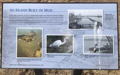
An Island Built of Mud

Photographed By Barry Swackhamer, July 1, 2022
1. An Island Built of Mud Marker
Captions: (background photo) An aerial view of Mare Island, Vallejo and the Carquinez Strait (1936); (lower left) Sediments visible in the water at the confluence of Mare Island and Carquinez Strait. (1972); (center) Wildlife will benefit as many of the former dredge ponds revert to seasonal wetlands.; (upper right) Floating pontoons support pipes used to transport the mud from the dregs to the island. (1927); (center right) The cutter blade of the dregs Endicott raised for inspection and removal of debris. (1927).
Erected by City of Vallejo.
Topics. This historical marker is listed in these topic lists: Man-Made Features • Military.
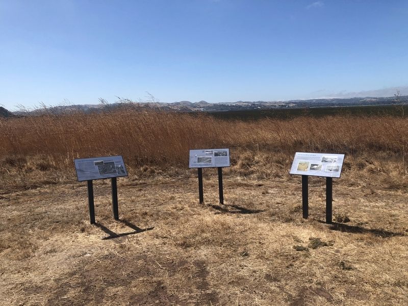
Location. 38° 4.886′ N, 122° 16.748′ W. Marker is in Vallejo, California, in Solano County. Marker can be reached from the intersection of Dump Road and Lawes Street. The marker is located on the Mares Island San Pablo Bay Hiking Trail. Touch for map. Marker is in this post office area: Vallejo CA 94592, United States of America. Touch for directions.
Other nearby markers. At least 8 other markers are within 2 miles of this marker, measured as the crow flies. The Western Magazine (here, next to this marker); The Carquinez Strait: Gateway to California's Riches (here, next to this marker); St. Peter's Chapel (approx. one mile away); Beyond These Sentry Houses (approx. 1.1 miles away); Officers' Houses (approx. 1.2 miles away); Pillar of the Future Built by the Pillars of the Past (approx. 1.2 miles away); German Marder and Torpedo (approx. 1.2 miles away); H.B.M. Centurian Anchor (approx. 1.2 miles away). Touch for a list and map of all markers in Vallejo.
Credits. This page was last revised on September 8, 2023. It was originally submitted on September 8, 2023, by Barry Swackhamer of Brentwood, California. This page has been viewed 54 times since then and 9 times this year. Photos: 1, 2. submitted on September 8, 2023, by Barry Swackhamer of Brentwood, California.
