Middle East in Baltimore, Maryland — The American Northeast (Mid-Atlantic)
The Cycle of East Baltimore Communities, 1870s - 1970s
— Eager Park —

Photographed By Devry Becker Jones (CC0), September 8, 2023
1. The Cycle of East Baltimore Communities, 1870s - 1970s Marker
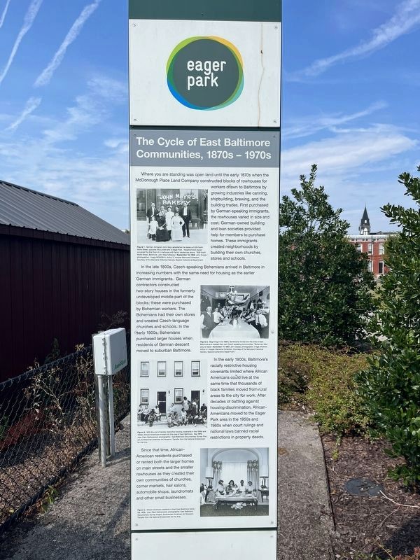
Where you are standing was open land until the early 1870s when the McDonough Place Land Company constructed blocks of rowhouses for workers drawn to Baltimore by growing industry like canning, shipbuilding, brewing, and the building trades. First purchased by German-speaking immigrants, the rowhouses varied in size and cost. German-owned building and loan societies provided help for members to purchase homes. These immigrants created neighborhoods by building their own churches, stores and schools.
In the later 1800s, Czech-speaking Bohemians arrived in Baltimore in increasing numbers with the same need for housing as the earlier German immigrants. German contractors constructed two-story houses in the formerly undeveloped middle part of the blocks; these were purchased by Bohemian workers. The Bohemians had their own stores and created Czech-language churches and schools. In the early 1900s, Bohemians purchased larger houses when residents of German descent moved to suburban Baltimore.
In the early 1900s, Baltimore's racially restrictive housing covenants limited where African Americans could live at the same time that thousands of black families moved from rural areas to the city for work. After decades of battling against housing discrimination, African-Americans moved to the Eager Park area in the 1950s and 1960s when court rulings and national laws banned racial restrictions in property deeds.
Since that time, African-American residents purchased or rented both the larger homes on main streets and the smaller rowhouses as they created their own communities of churches, corner markets, hair salons, automobile shops, laundromats and other small businesses.
[Captions:]
Figure 1. German immigrant John Mayr established his bakery at 839 North Wolfe Street, opposite the current site of Eager Park. Neighborhood stores occupied the first floor of a rowhouse with family residences above. "839 North Wolfe Street, Baltimore. John Mayr's Bakery." September 12, 1909. John Dubas, photographer. Image MC9236-A, Arthur U. Hooper Memorial Collection. Courtesy of the Maryland Historical Society, Special Collections Department.
Figure 2. Beginning in the 1880s, Bohemians moved into this area of East Baltimore and created their own Czech-speaking communities. "Bohemian Men around table." November 17, 1907. John Dubas, photographer. Image MC9424, Arthur U. Hooper Memorial Collection. Courtesy of the Maryland Historical Society, Special Collections Department.
Figure 3. With the end of racially restrictive housing covenants in the 1950s and 1960s, African-Americans moved into this area of East

Photographed By Devry Becker Jones (CC0), September 8, 2023
2. The Cycle of East Baltimore Communities, 1870s - 1970s Marker
Figure 4. African-American residents in their East Baltimore home. Ca. 1975. Joan Clark Netherwood, photographer. East Baltimore Documentary Survey Project, Smithsonian American Art Museum, Transfer from the National Endowment for the Arts.
Topics. This historical marker is listed in these topic lists: African Americans • Immigration • Industry & Commerce • Settlements & Settlers. A significant historical date for this entry is September 12, 1909.
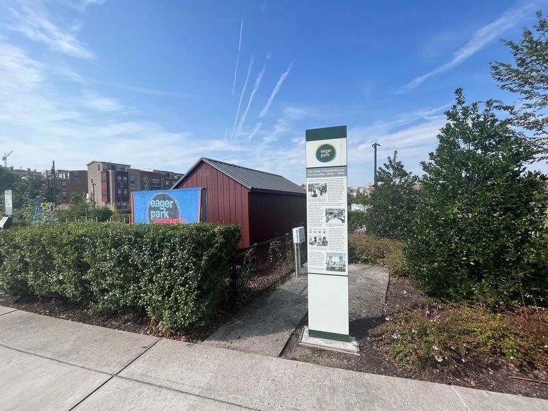
Location. 39° 18.243′ N, 76° 35.508′ W. Marker is in Baltimore, Maryland. It is in Middle East. Marker can be reached from East Biddle Street west of North Wolfe Street, on the right when traveling east. Touch for map. Marker is at or near this postal address: 929 N Wolfe St, Baltimore MD 21205, United States of America. Touch for directions.
Other nearby markers. At least 8 other markers are within walking distance of this marker. Painted Screens: An East Baltimore Tradition (about 700 feet away, measured in a direct line); Clarence H. "Du" Burns Amphitheater (approx. 0.2 miles away); Broadway School (approx. 0.3 miles away); St. Francis Xavier Church (approx. 0.4 miles away); St. Francis Xavier Catholic Church (approx. 0.4 miles away); The General’s Highway (approx. half a mile away); Nazarene Baptist Church (approx. half a mile away); First Baptist Church (approx. 0.6 miles away). Touch for a list and map of all markers in Baltimore.
Credits. This page was last revised on December 14, 2023. It was originally submitted on September 8, 2023, by Devry Becker Jones of Washington, District of Columbia. This page has been viewed 72 times since then and 16 times this year. Photos: 1, 2. submitted on September 8, 2023, by Devry Becker Jones of Washington, District of Columbia.