West Cook in Cook County, Minnesota — The American Midwest (Upper Plains)
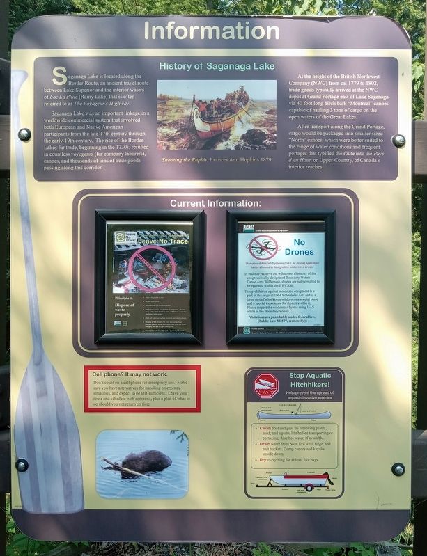
History of Saganaga Lake
Saganaga Lake is located along the Border Route, an ancient travel route between Lake Superior and the interior waters of Lac La Pluie (Rainy Lake) that is often referred to as The Voyageur's Highway.
Saganaga Lake was an important linkage in a worldwide commercial system that involved both European and Native American participants from the late-17th century through the early-19th century. The rise of the Border Lakes fur trade, beginning in the 1730s, resulted in countless voyageurs (fur company laborers), canoes, and thousands of tons of trade goods passing along this corridor.
At the height of the British Northwest Company (NWC) from ca. 1779 to 1802, trade goods typically arrived at the NWC depot at Grand Portage east of Lake Saganaga via 40 foot long birch bark "Montreal" canoes capable of hauling 3 tons of cargo on the open waters of the Great Lakes.
After transport along the Grand Portage, cargo would be packaged into smaller sized "North" canoes, which were better suited to the range of water conditions and frequent portages that typified the route into the Pays d'en Haut, or Upper Country, of Canada's interior reaches.
Caption
Shooting the Rapids, Frances Ann Hopkins 1879
Erected by United States Forest Service.
Topics. This historical marker is listed in these topic lists: Industry & Commerce • Waterways & Vessels. A significant historical year for this entry is 1730.
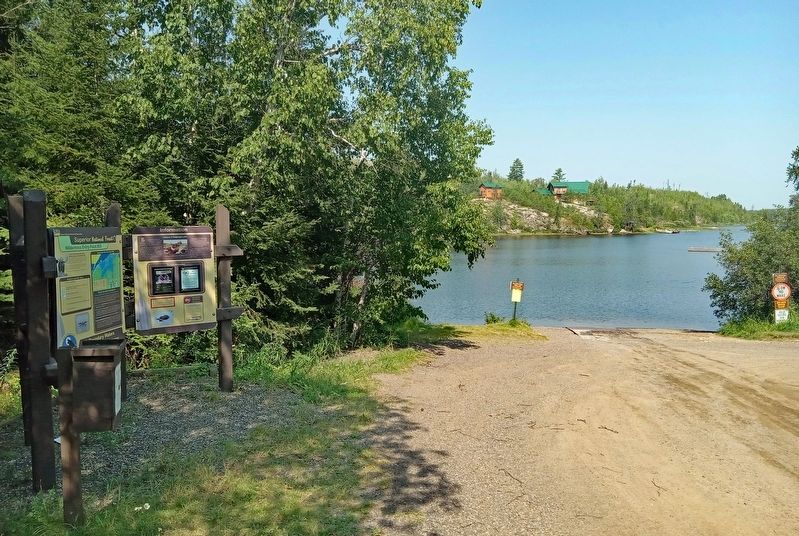
Location. 48° 9.881′ N, 90° 52.991′ W. Marker is in West Cook, Minnesota, in Cook County. Marker is on Moose Pond Drive (County Route 81) north of Gunflint Trail (County Route 12) when traveling west. The marker is at the southernmost Saganaga Lake boat ramp. Touch for map. Marker is at or near this postal address: 48 Moose Pond Drive, Grand Marais MN 55604, United States of America. Touch for directions.
Other nearby markers. At least 8 other markers are within 9 miles of this marker, measured as the crow flies. Portage Canoe Rest (approx. ¼ mile away); The American Plan Cabin (approx. 0.3 miles away); The Trapper Shack (approx. 0.3 miles away); This Log (approx. 0.3 miles away); Step back in time... (approx. 0.4 miles away); a different marker also named History of Saganaga Lake (approx. half a mile away); Gunflint Lake Scenic Overlook (approx. 8.1 miles away); The 2007 Ham Lake Fire (approx. 8.1 miles away). Touch for a list and map of all markers in West Cook.
Related marker. Click here for another marker that is related to this marker. Identical marker at a nearby boat launch.
Credits. This page was last revised on September 14, 2023. It was originally submitted on September 10, 2023, by McGhiever of Minneapolis, Minnesota. This page has been viewed 65 times since then and 18 times this year. Photos: 1, 2. submitted on September 10, 2023, by McGhiever of Minneapolis, Minnesota. • J. Makali Bruton was the editor who published this page.

