Bristow in Prince William County, Virginia — The American South (Mid-Atlantic)
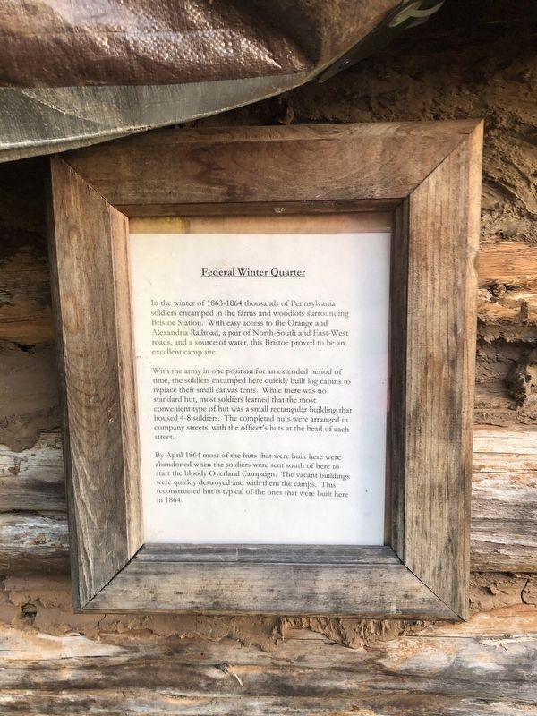
Federal Winter Quarter
In the winter of 1863-1864 thousands of Pennsylvania soldiers encamped in the farms and woodlots surrounding Bristoe Station. With easy access to the Orange and Alexandria Railroad, a pair of North-South and East-West roads, and a source of water, this Bristoe proved to be an excellent camp site.
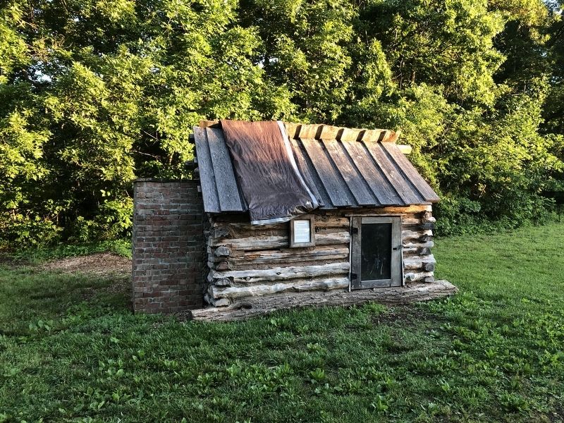
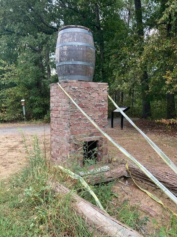
With the army in one position for an extended period of time, the soldiers encamped here quickly built log cabins to replace their small canvas tents. While there was no standard hut, most soldiers learned that the most convenient type of hut was a small rectangular building that housed 4-8 soldiers. The completed huts were arranged in company streets, with the officer's huts at the head of each street.
By April 1864 most of the huts that were built here were abandoned when the soldiers were sent south of here to start the bloody Overland Campaign. The vacant buildings were quickly destroyed and with them the camps. This reconstructed hut is typical of the ones that were built here in 1864.
Topics and series. This historical marker is listed in this topic list: War, US Civil. In addition, it is included in the Orange and Alexandria Railroad series list. A significant historical month for this entry is April 1864.
Location. 38° 43.572′ N, 77° 32.706′ W. Marker is in Bristow, Virginia , in Prince William County. Marker can be reached from 10th Alabama Way, 0.1 miles Iron Brigade Unit Avenue, on the right when traveling south. Touch for map. Marker is at or near this postal address: 10549 Bristow Station Dr, Bristow VA 20136, United States of America. Touch for directions.
Other nearby markers. At least 8 other markers are within walking distance of this marker. Camp Jones (here, next to this marker); Bristoe 1861-1862 Trail (about 300 feet away, measured in a direct line); Roads to Bristoe Station (about 300 feet away); Cemeteries (about 400 feet away); Bristoe Station Battlefield Heritage Park (about 400 feet away); Confederate Cemeteries (about 400 feet away); Bristoe 1863 Trail (about 500 feet away); Lee's Last Move North: The Bristoe Station Campaign of 1863 (about 500 feet away). Touch for a list and map of all markers in Bristow.
Credits. This page was last revised on September 10, 2023. It was originally submitted on June 13, 2020, by Devry Becker Jones of Washington, District of Columbia. This page has been viewed 218 times since then and 24 times this year. Last updated on September 10, 2023, by Linda Walcroft of Woodstock, Virginia. Photos: 1, 2. submitted on June 13, 2020, by Devry Becker Jones of Washington, District of Columbia. 3, 4. submitted on September 10, 2023, by Linda Walcroft of Woodstock, Virginia. • Bernard Fisher was the editor who published this page.


