
Fort Snelling in Hennepin County, Minnesota — The American Midwest (Upper Plains)
The Treaty of 1805
Photographed by McGhiever, June 30, 2023
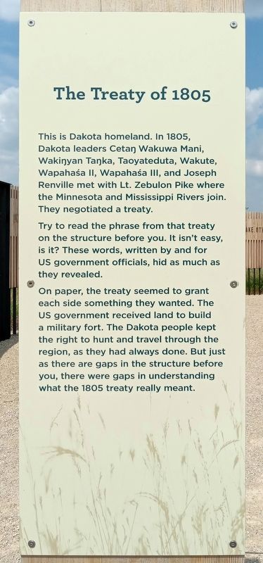
1. The Treaty of 1805 Marker
This is Dakota homeland. In 1805, Dakota leaders Cetaŋ Wakuwa Mani, Wakiŋyan Taŋka, Taoyateduta, Wakute, Wapahaśa II, Wapahaśa III, and Joseph Renville met with Lt. Zebulon Pike where the Minnesota and Mississippi Rivers join. They negotiated a treaty.
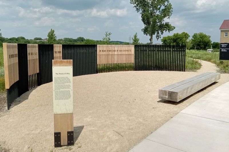
Try to read the phrase from that treaty on the structure before you. It isn't easy, is it? These words, written by and for US government officials, hid as much as they revealed.
On paper, the treaty seemed to grant each side something they wanted. The US government received land to build a military fort. The Dakota people kept the right to hunt and travel through the region, as they had always done. But just as there are gaps in the structure before you, there were gaps in understanding was the 1805 treaty really meant.
Erected by Minnesota Historical Society.
Topics. This historical marker is listed in these topic lists: Government & Politics • Indigenous Peoples and Communities. A significant historical year for this entry is 1805.
Location. 44° 53.594′ N, 93° 11.15′ W. Marker is in Fort Snelling, Minnesota, in Hennepin County. It can be reached from Tower Avenue, on the left when traveling east. The marker is at Historic Fort Snelling, on a path between the parking lot and the visitor center. Touch for map. Marker is at or near this postal address: 200 Tower Avenue, Saint Paul MN 55111, United States of America. Touch for directions.

Regionally, this marker is in the Twin Cities Metropolitan Area. It is also in the American Midwest, in the Corn Belt, and in the Great River Road Region. Globally, it is in North America, the Western Hemisphere, the Western World, and the Anglosphere. Historically, it finds itself in what was once Rupert’s Land, the territory of the Mississippian Culture, and the Louisiana
this page online
Other nearby markers. At least 8 other markers are within walking distance of this marker: Hope (within shouting distance of this marker); Identity (within shouting distance of this marker); Service (within shouting distance of this marker); Mitakuye Oyasin: We Are All Related (about 300 feet away, measured in a direct line); Travel through 10,000 years of human history (about 300 feet away); Giacomo Constantino Beltrami (about 500 feet away); An Appreciation: Colonel Josiah Snelling (about 500 feet away); Elizabeth R. Snelling (about 500 feet away). Touch for a list and map of all markers in Fort Snelling.
Photographed by McGhiever, June 30, 2023
2. The Treaty of 1805 Marker at Historic Fort Snelling
Credits. This page was last revised on August 9, 2025. It was originally submitted on September 11, 2023, by McGhiever of Minneapolis, Minnesota. This page has been viewed 943 times since then and 69 times this year. Photos: 1, 2. submitted on September 11, 2023, by McGhiever of Minneapolis, Minnesota. • J. Makali Bruton was the editor who published this page.
