Mount Vernon in Franklin County, Texas — The American South (West South Central)
First United Methodist Church of Mount Vernon
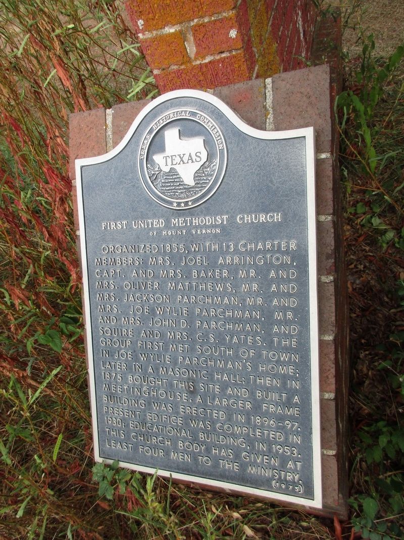
Photographed by Jeff Leichsenring, September 12, 2023
1. First United Methodist Church of Mount Vernon Marker
Erected 1975 by Texas Historical Commission. (Marker Number 9841.)
Topics. This historical marker is listed in this topic list: Religion & Religious Structures.
Location. 33° 11.064′ N, 95° 13.301′ W. Marker is in Mount Vernon, Texas, in Franklin County. It is at the intersection of South Kaufman Street and Majors Street, on the right when traveling north on South Kaufman Street. Touch for map. Marker is at or near this postal address: 501 S Kaufman Street, Mount Vernon TX 75457, United States of America.
this page online

Regionally, this marker is in the American South and in the Piney Woods. Globally, it is in North America, a Gulf of Mexico state, the Western Hemisphere, the Western World, and the Anglosphere. Historically, it finds itself in what was once New Spain, the Republic of Texas, one of the Confederate States of America, and the Antebellum South.
Other nearby markers. At least 8 other markers are within 3 miles of this marker, measured as the crow flies: First Baptist Church of Mount Vernon (about 600 feet away, measured in a direct line); Site of the Merchants and Planters National Bank (approx. 0.3 miles away); Rutherford Drugstore (approx. 0.3 miles away); The Wright-Vaughan House (approx. 0.3 miles away); Franklin County Courthouse (approx. 0.3 miles away); Joshua Foster Johnson (approx. half a mile away); Franklin County (approx. 0.7 miles away); Historic Roadside Park (approx. 2.1 miles away). Touch for a list and map of all markers in Mount Vernon.
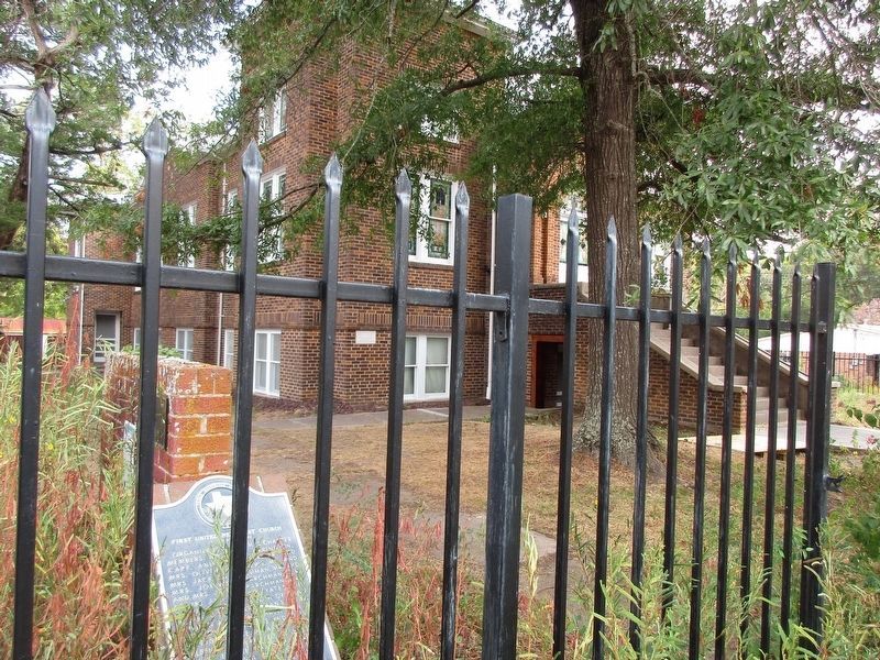
Photographed by Jeff Leichsenring, September 12, 2023
2. First United Methodist Church of Mount Vernon and Marker
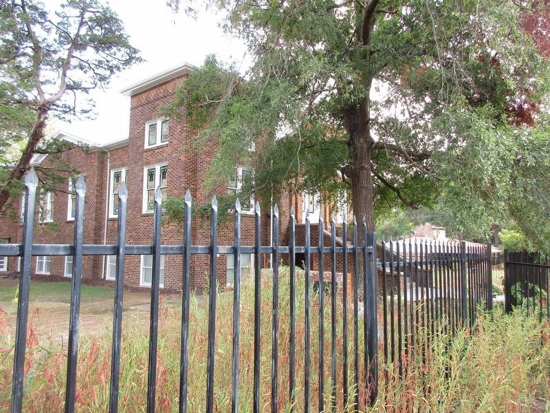
Photographed by Jeff Leichsenring, September 12, 2023
3. First United Methodist Church of Mount Vernon
Credits. This page was last revised on May 4, 2024. It was originally submitted on September 15, 2023, by Jeff Leichsenring of Garland, Texas. This page has been viewed 246 times since then and 36 times this year. Photos: 1, 2, 3. submitted on September 15, 2023, by Jeff Leichsenring of Garland, Texas. • James Hulse was the editor who published this page.
